

Results 1 to 5 of 5
-
02-21-2016, 08:21 AM #1
Exploring Southern Utah by Airplane
This is an older story! Did not find a better place to post it.
We started flying over southeastern Utah in the late 1990ies. It was my wife´s idea to get a better picture about the features and where these are located.
In 2001 we met Tim Martin from LaSal aka "The Flying Cowboy" and had a first flight with him. Inpressive! He knows everything about flying over the area and how to approach points of interest. In 2006 we planned something larger. A flight from Moab Canyonlands Airfield along the Colorado River down to the northern Arizona and back again. Tim calculated between 3 and a half and 4 hours. That sets the price tag.
At first we didn't know that TIm was the guy who flew through a number of arches. As he told us some time later he also said "Don't ask for that, I'll risk my license doing it with paying customers!" We didn't!
Starting at the Canyonlands Airfield we reached the river not far away from Deadhorse Point, followed it more or less down to Page turned around over Coyote Butte flying eastward over the north shore of Lake Powell. At the Dirty Devil River we took a more northern direction to go over Buckacre Point and from there back to Cataract Canyon. Again along the River we returned to the Moab Canyonlands Airfield.
I will not write much text about the flight. The pictures are self-explanatory. Pictures were taken with two cameras, a digital one and an analog one on slide film. Some pics are technically limited (reflections, not always 100% focussed, sometimes shifting colors througt tinted Windows.)
More about flying over Canyon Country: Cross Country Flying written in German. Due to the number of pictures the story will come in several "chapters".
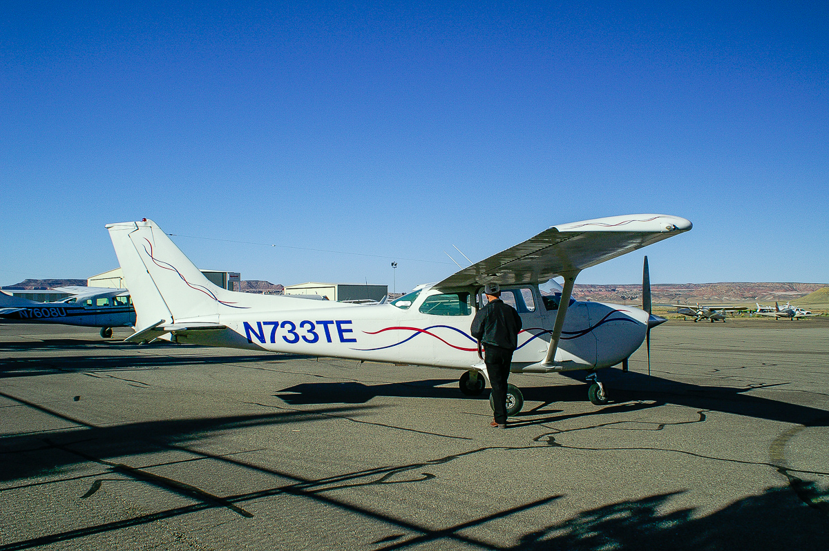
Tim Martin and his plane - Moab Canyonlands Airfield
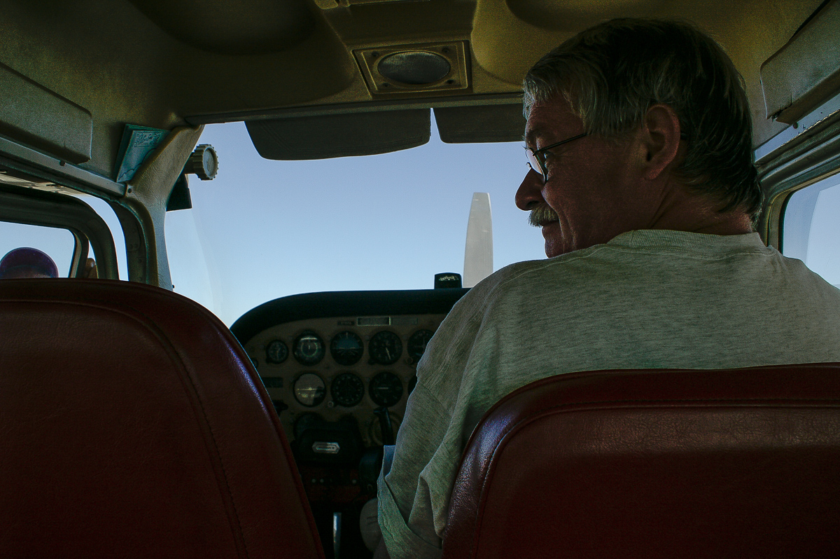
Waiting for the pilot - notice the limited space.
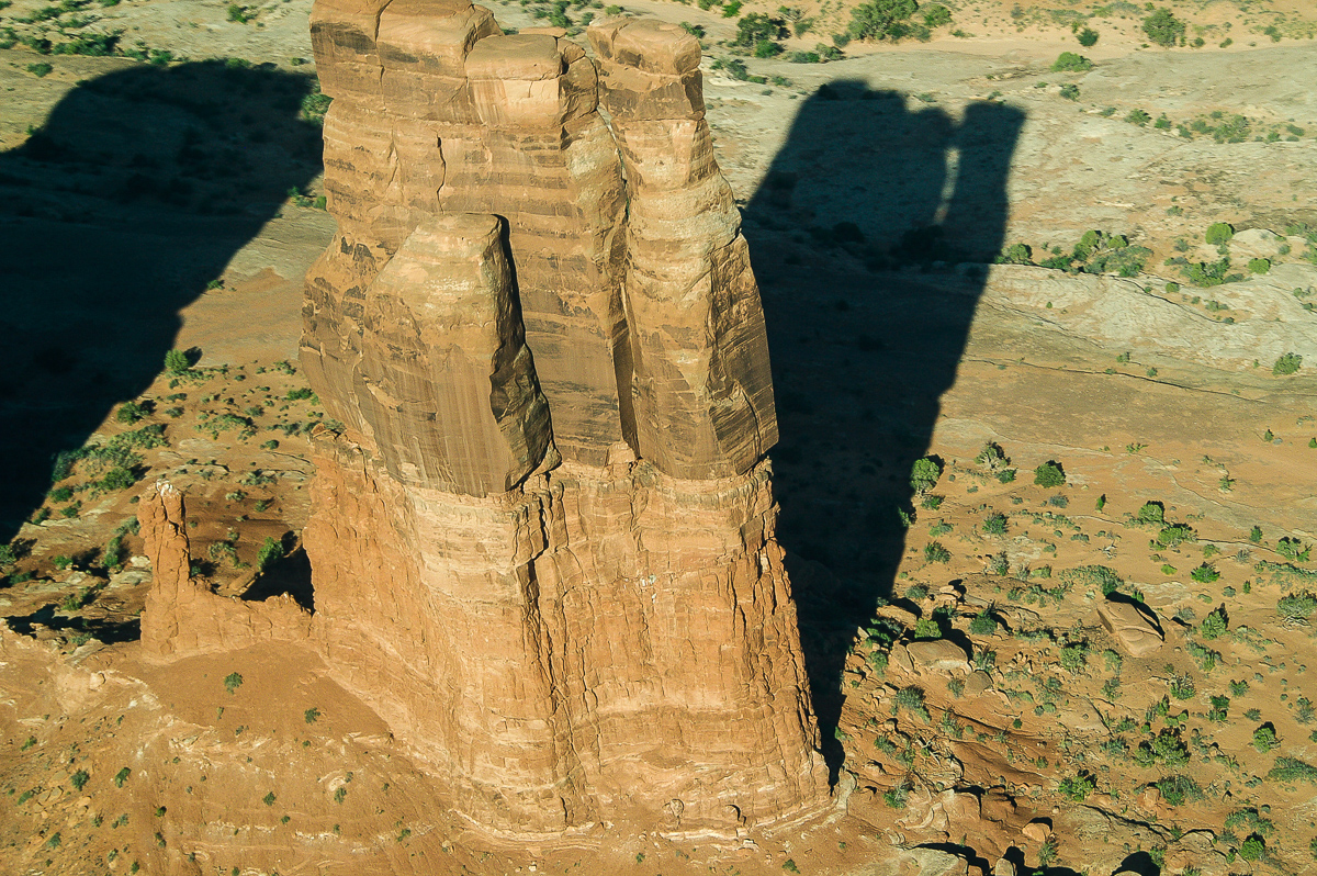
Determination Towers - sorry something missed!
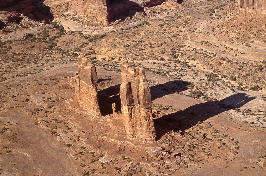
Another analog picture
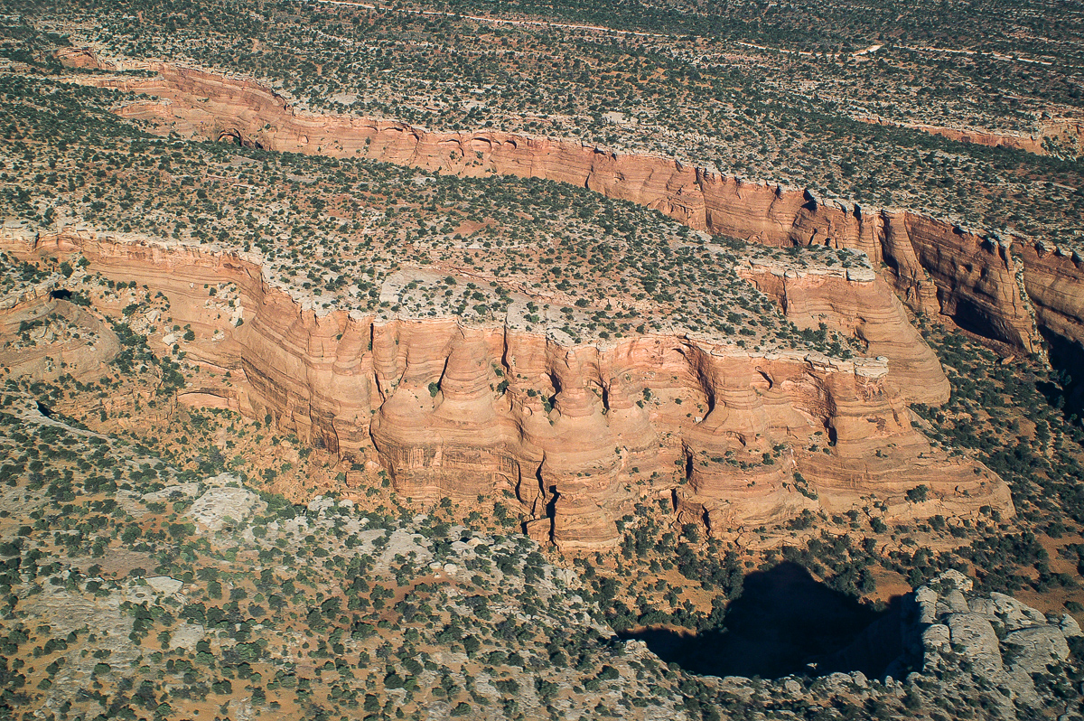
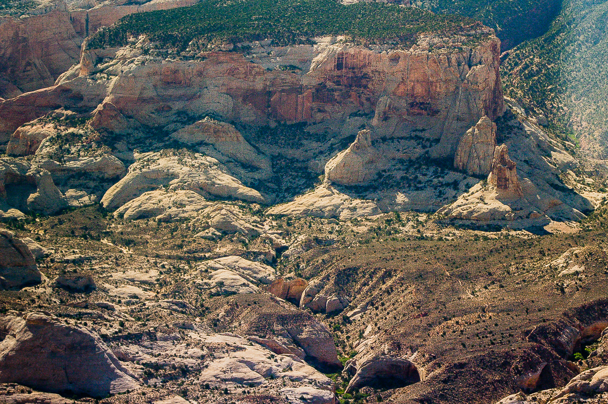
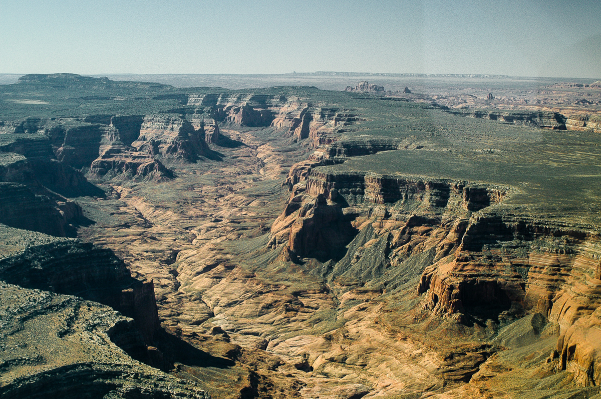
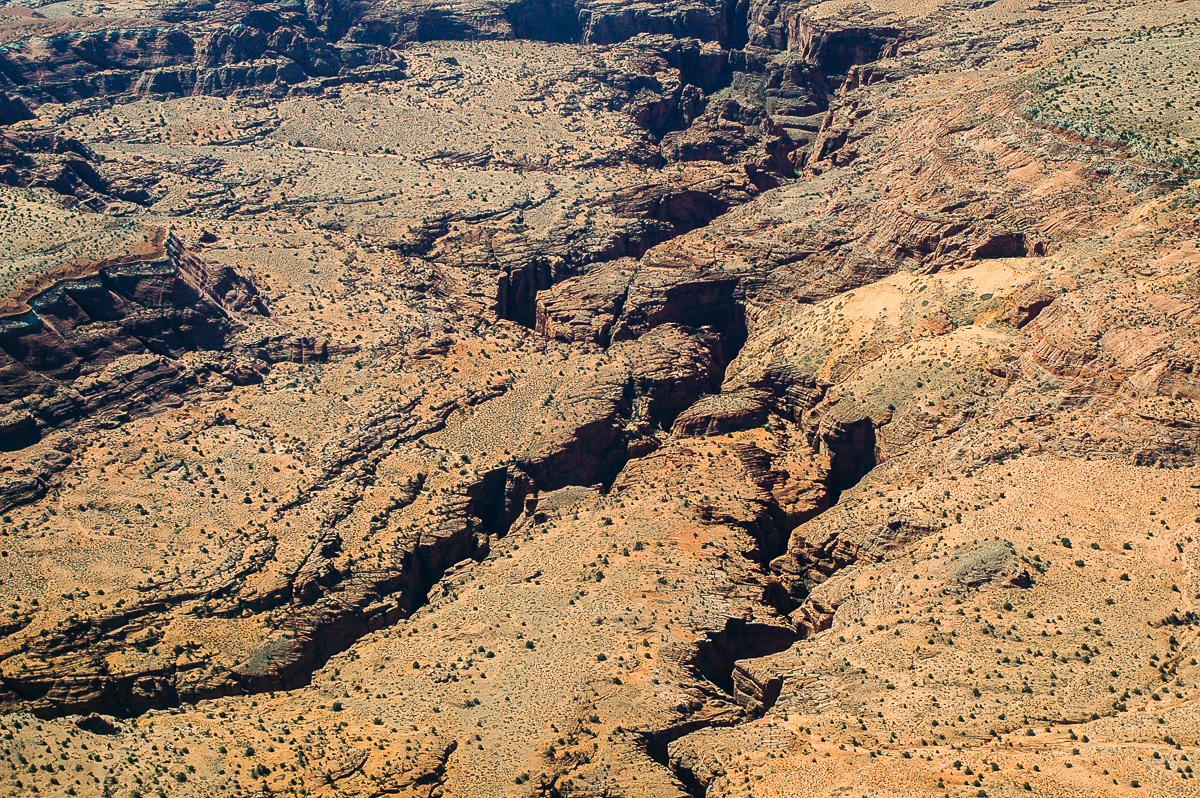
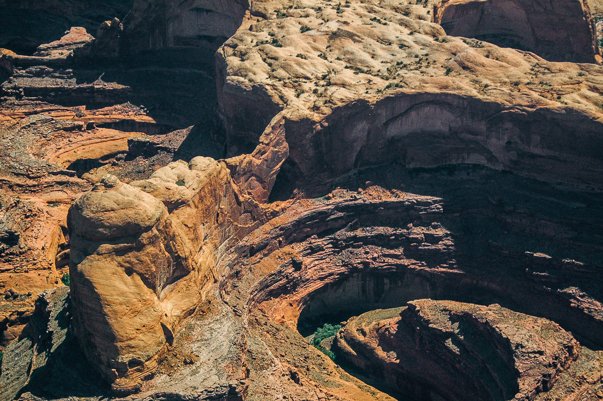
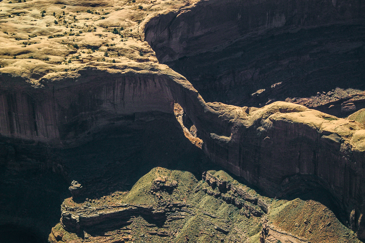
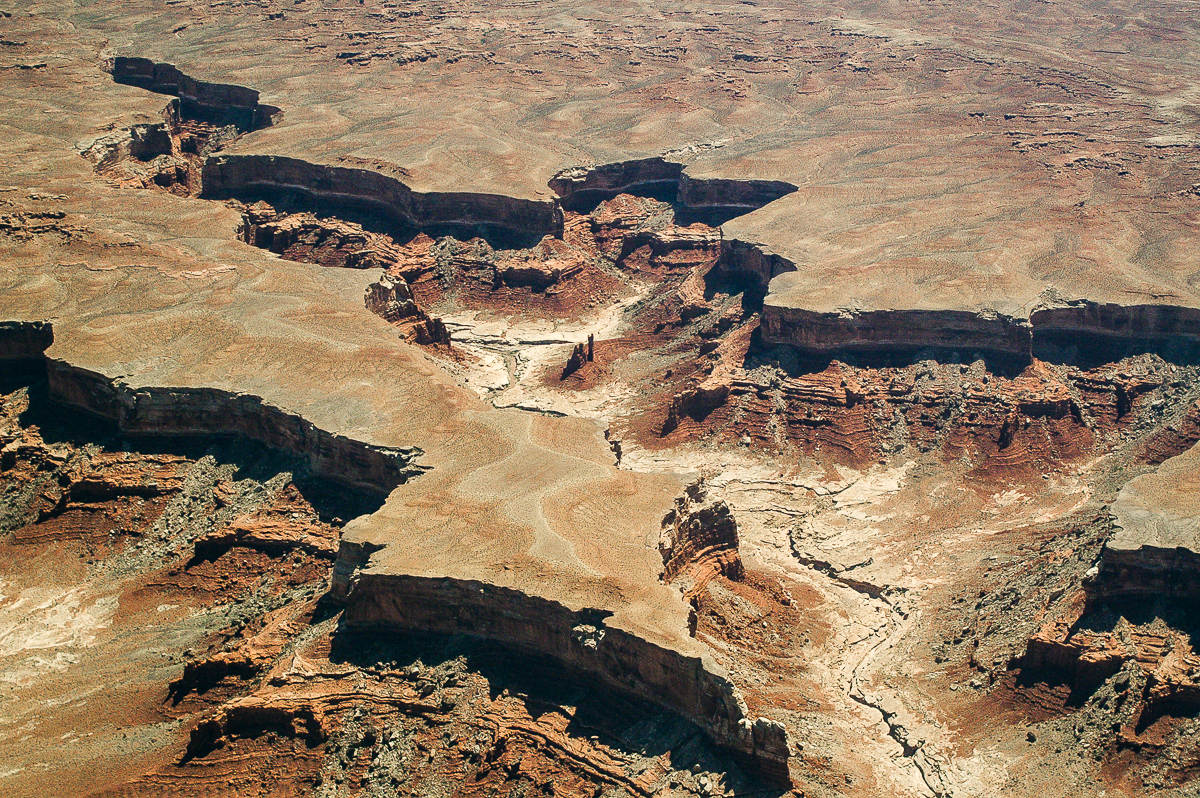
Bull Canyon System
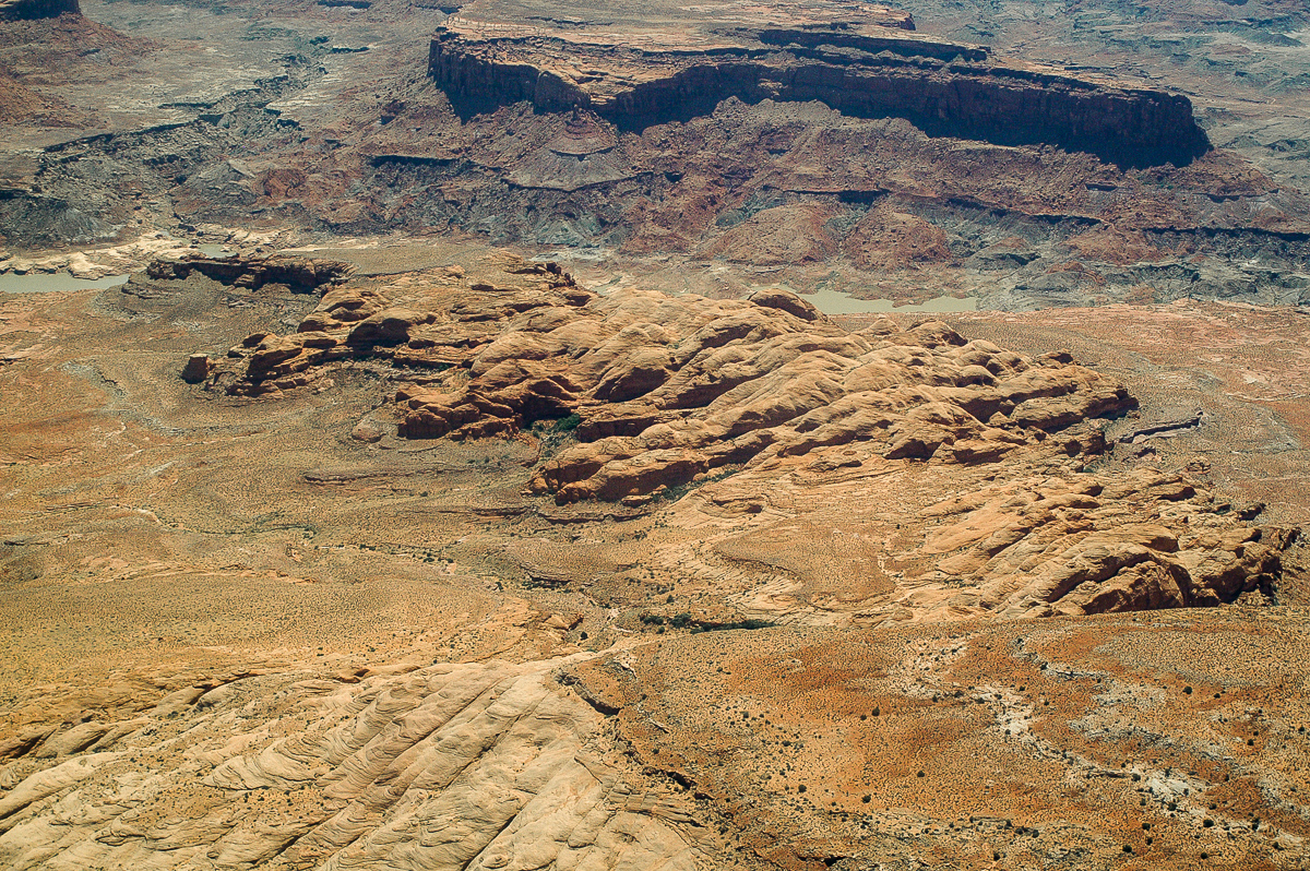
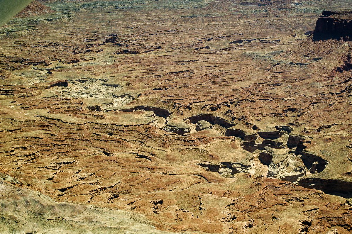
Approaching White Rim - so called Airport Tower middle left
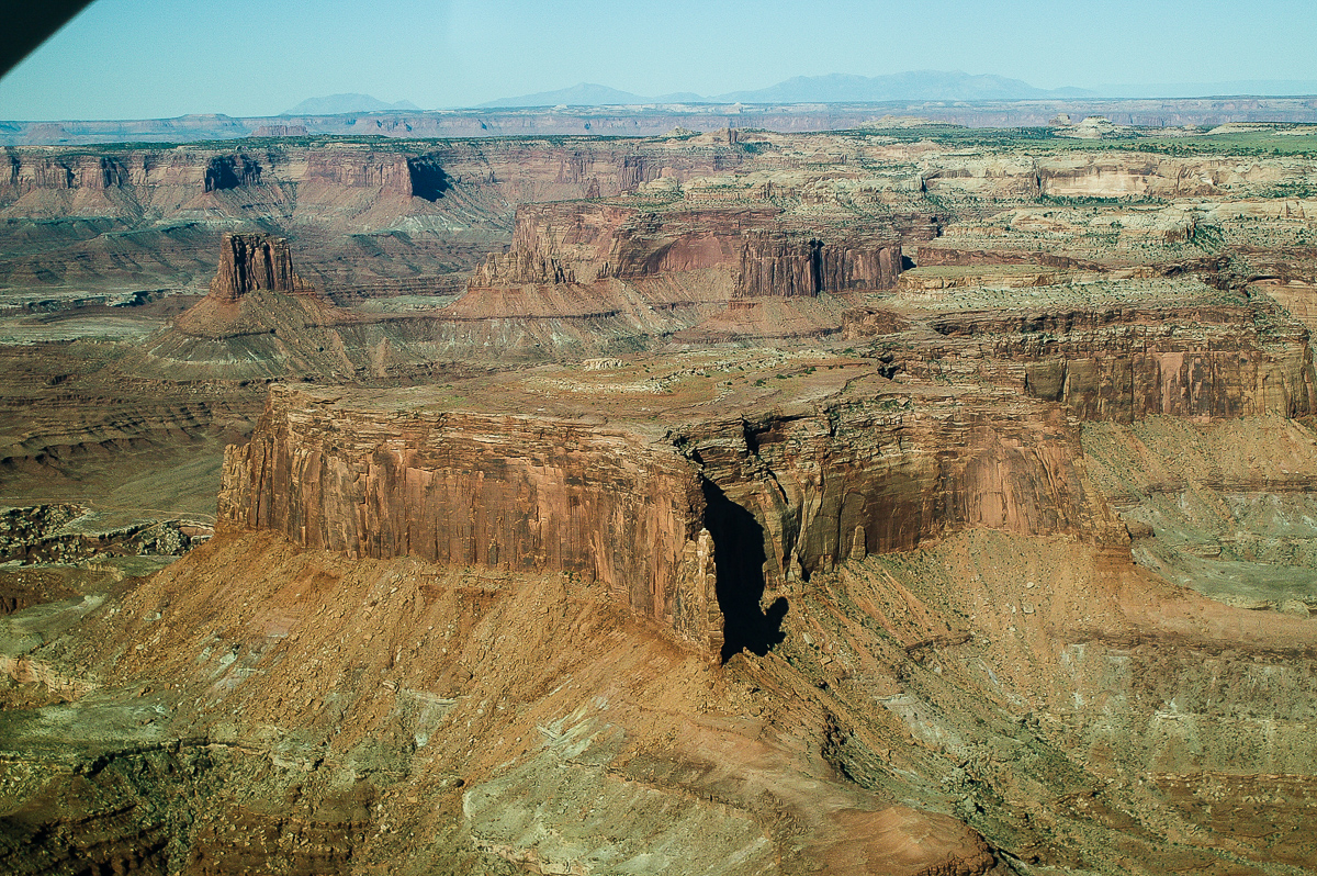
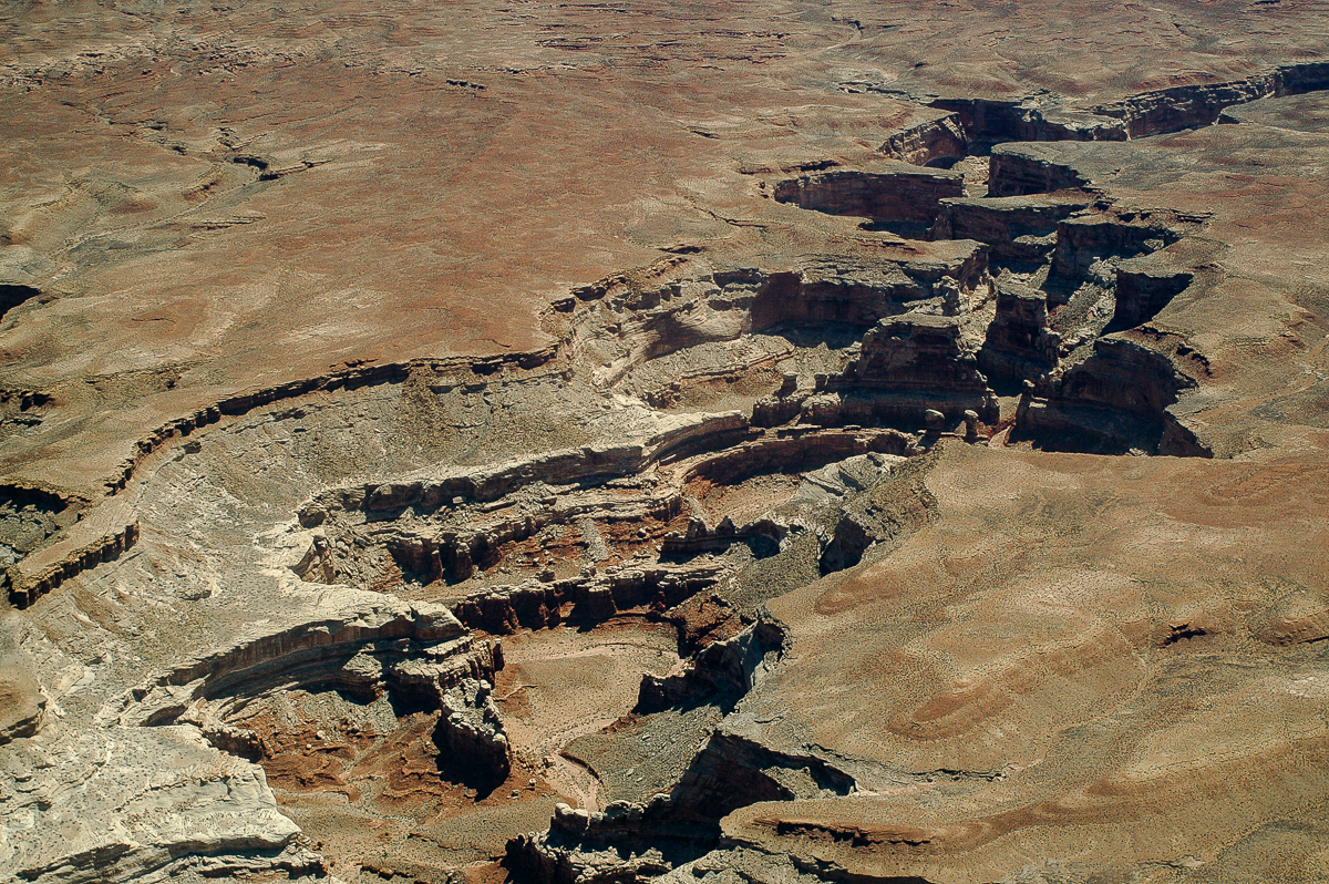
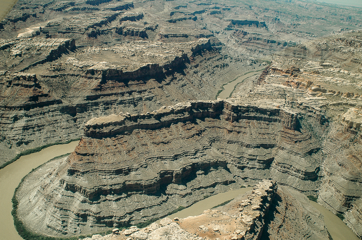
Lathrop and Buck Canyon
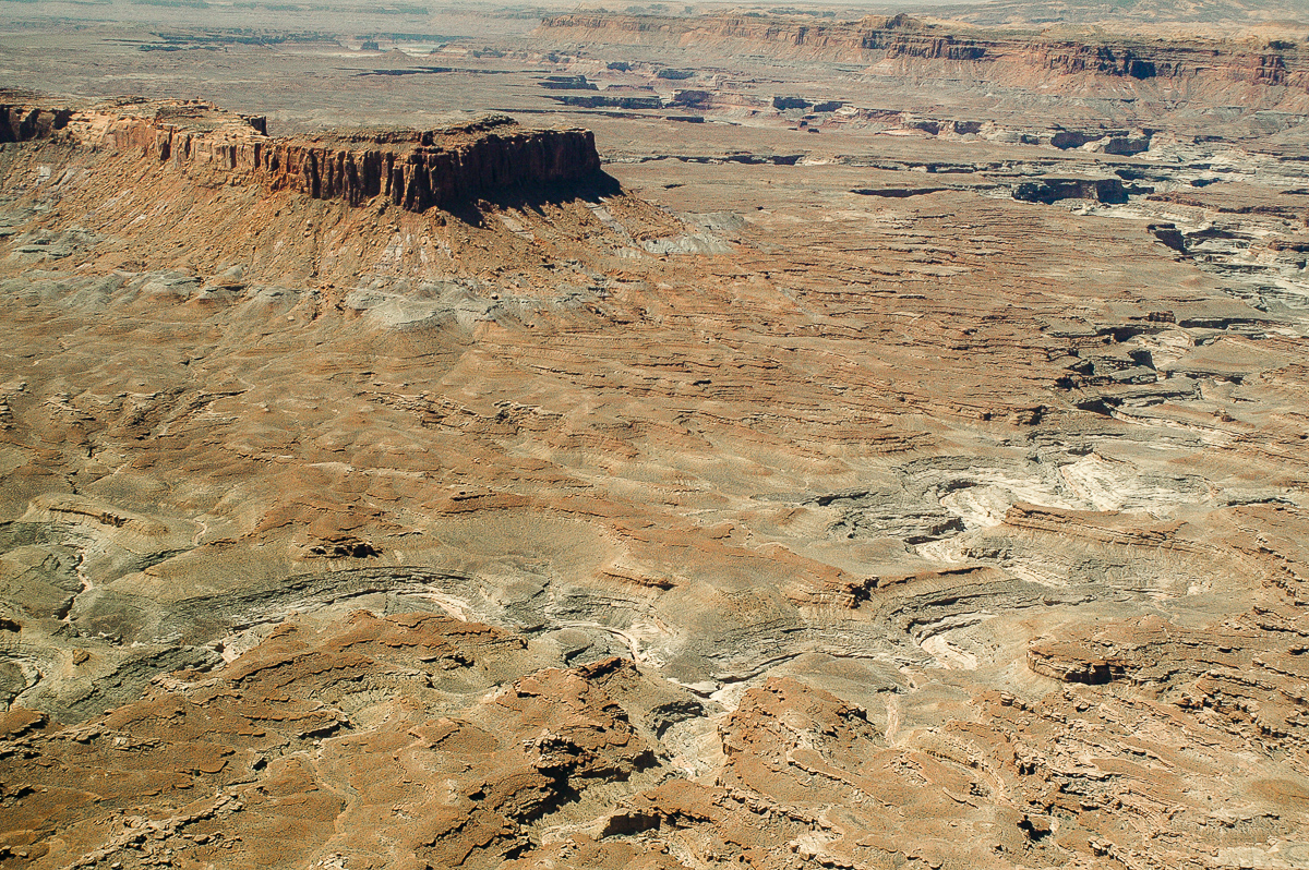
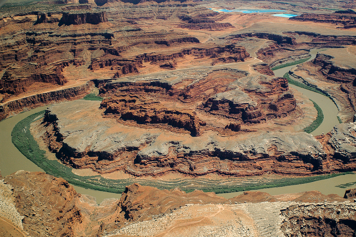
The Loop
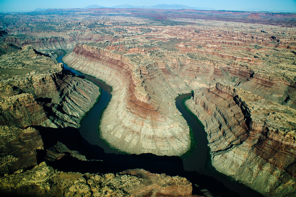
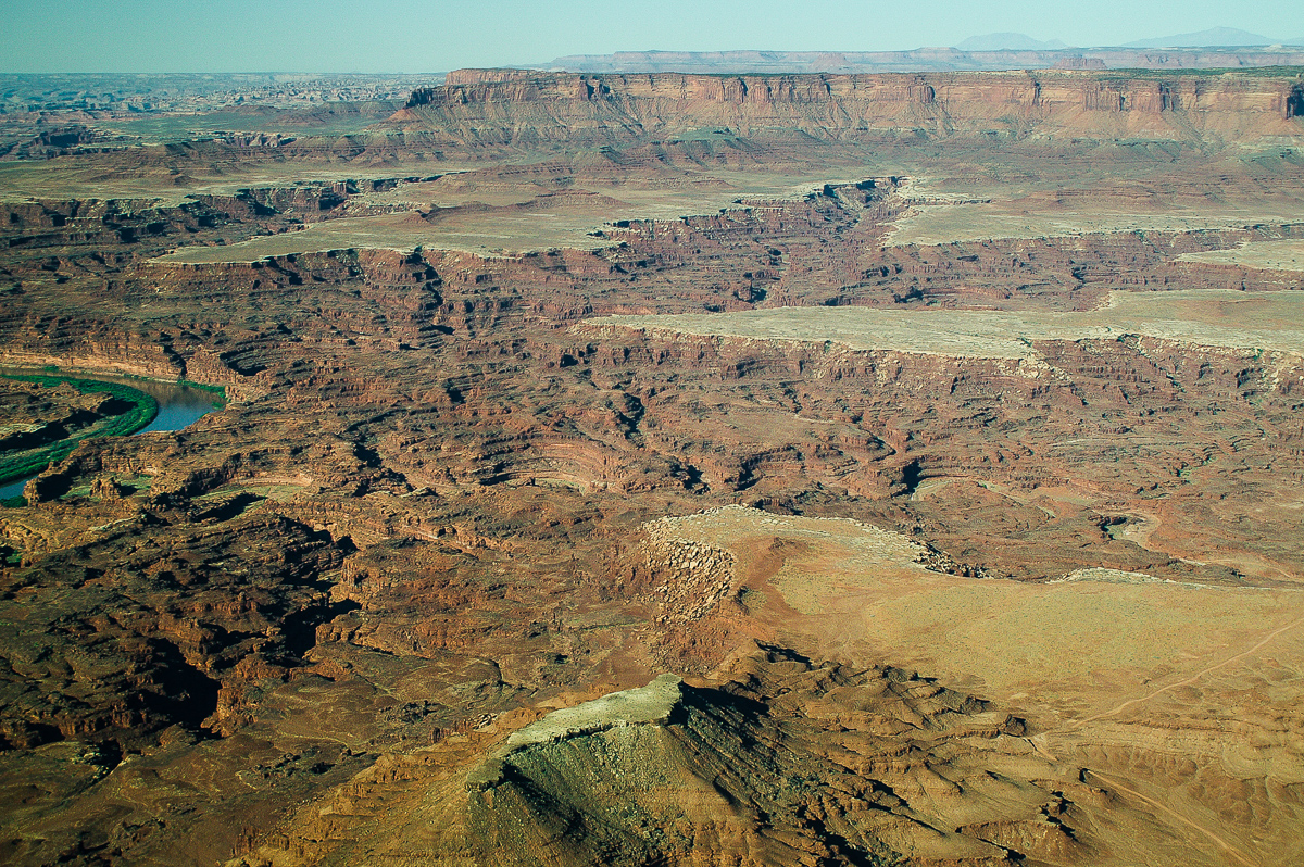
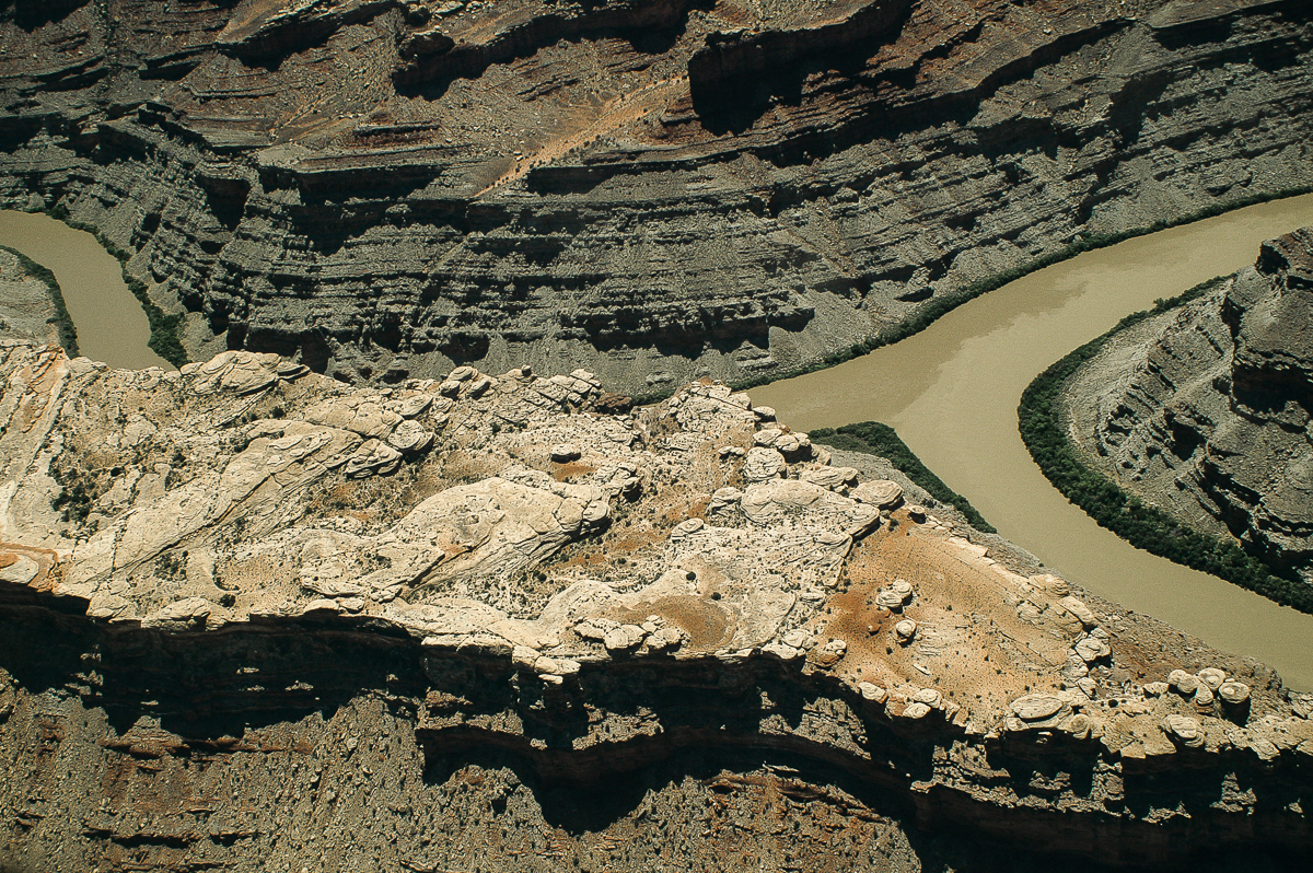
Colorado River - Green River Confluence
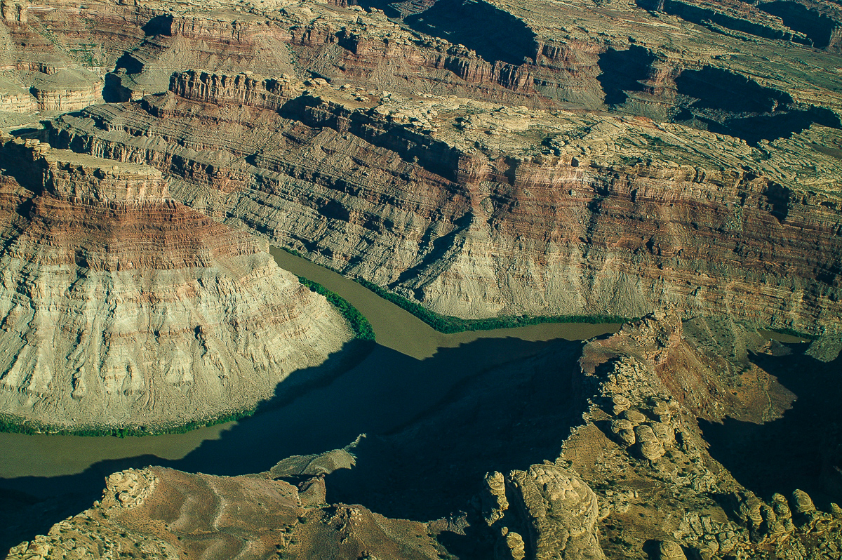
Confluence again
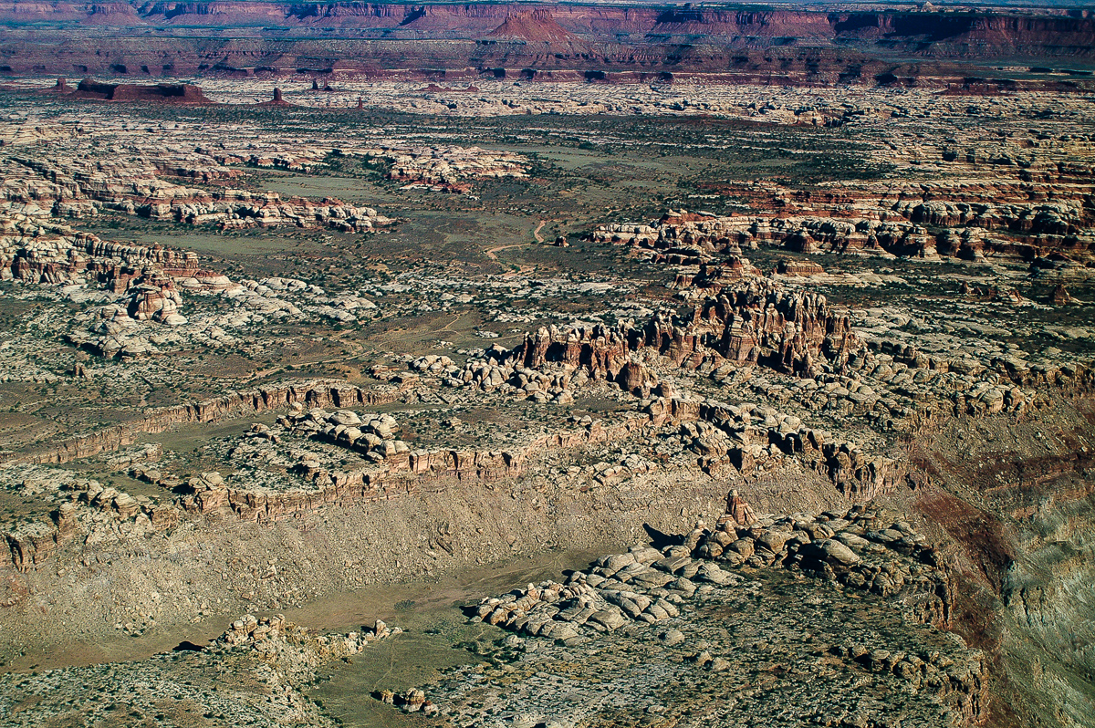
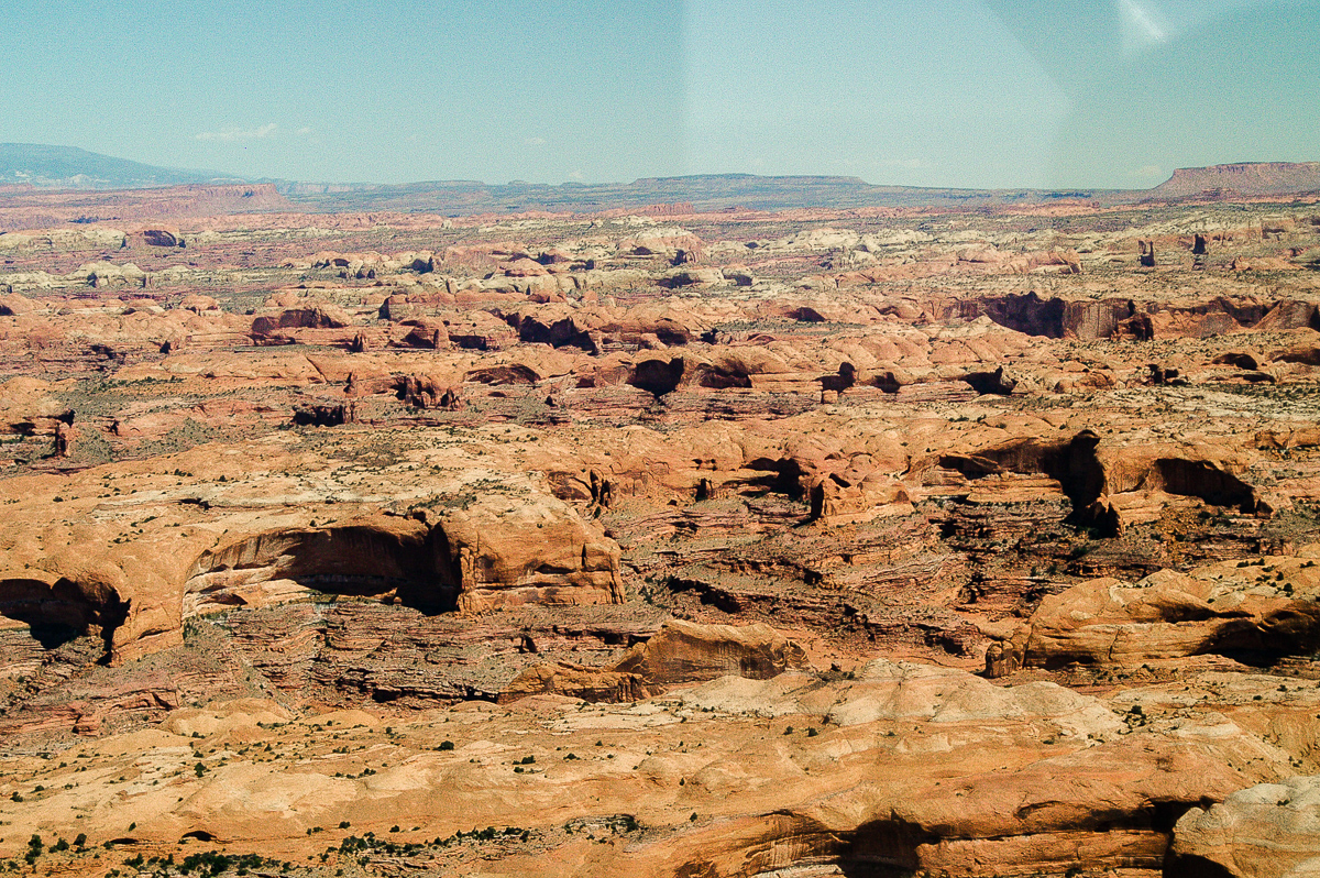
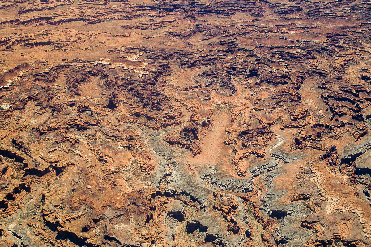
Canyonlands Maze District: The Doll House
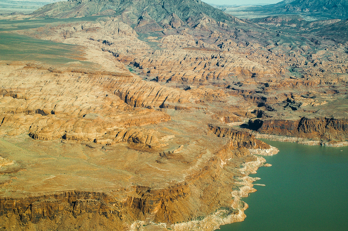
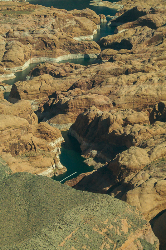
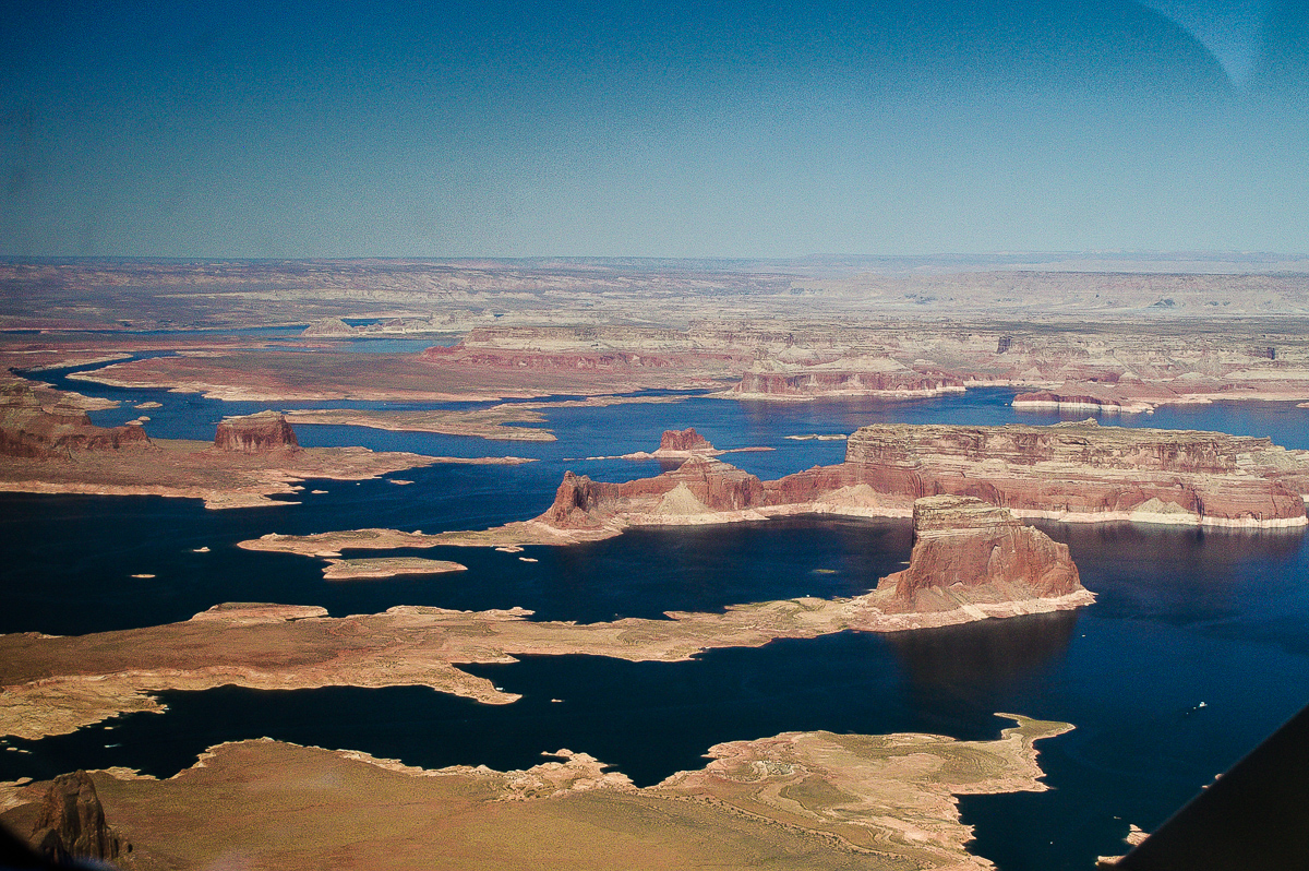
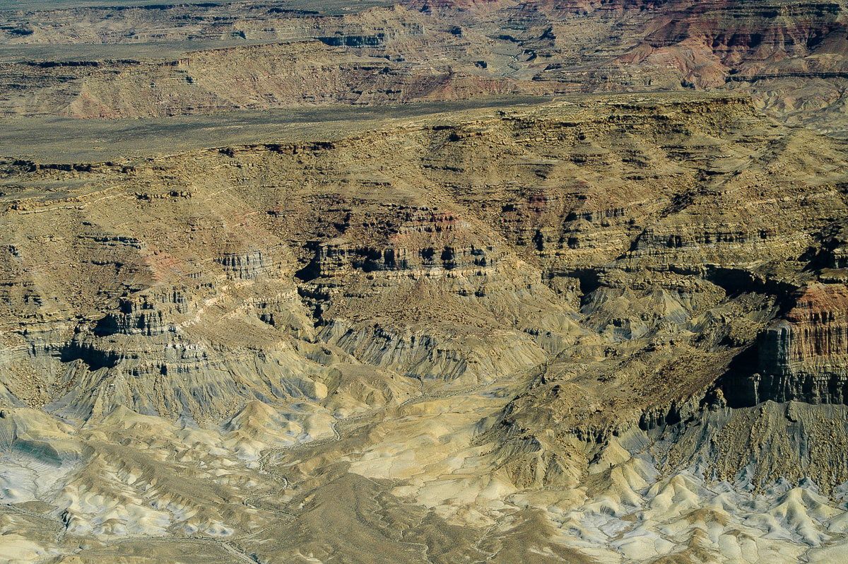
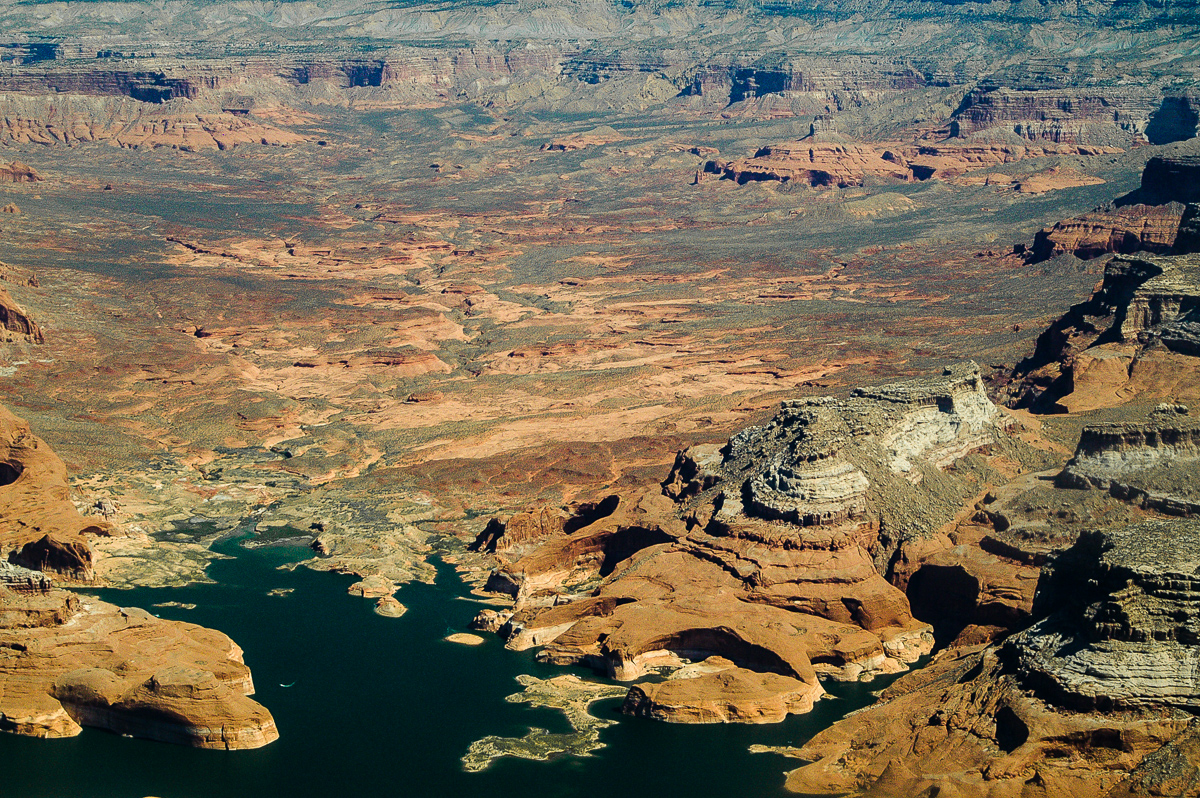
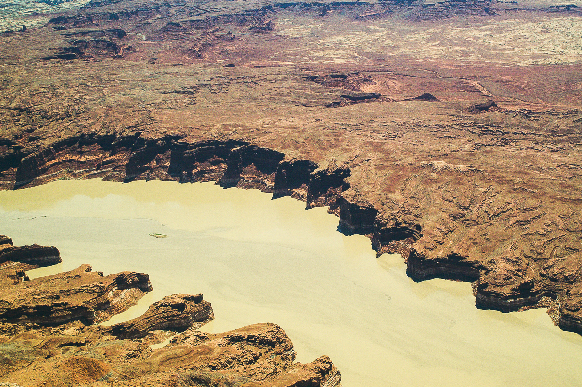
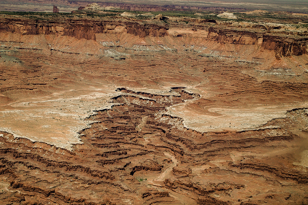
Waterhole Flat and Gunsight Butte

UT 95 and Colorado River Bridge near Hite
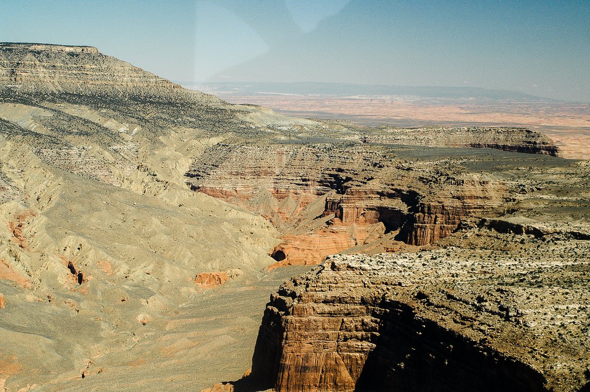
North Wash
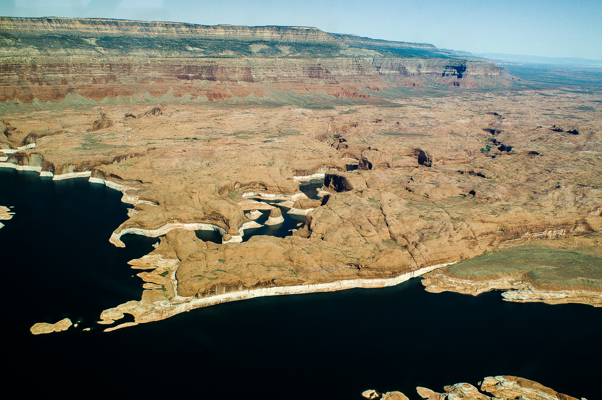
White Canyon

White Canyon
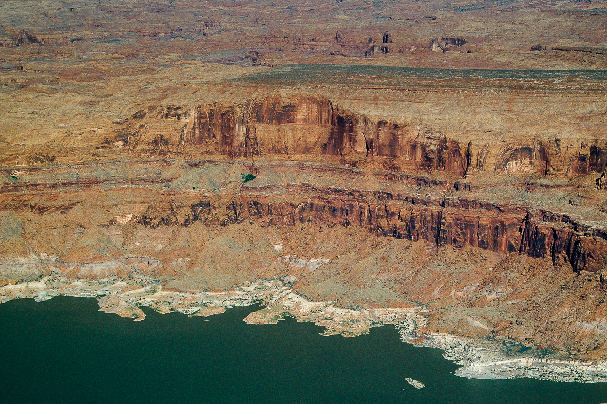
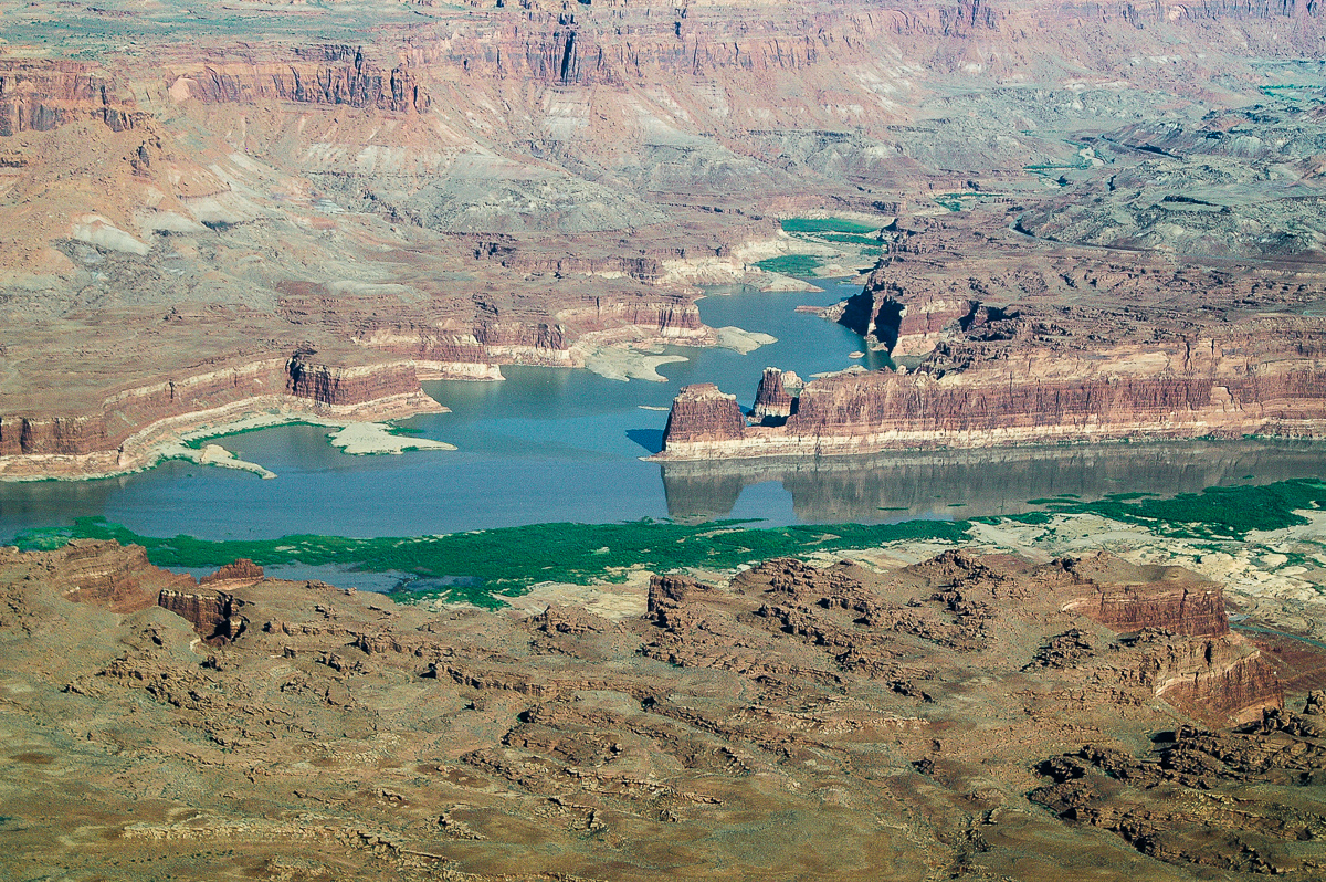
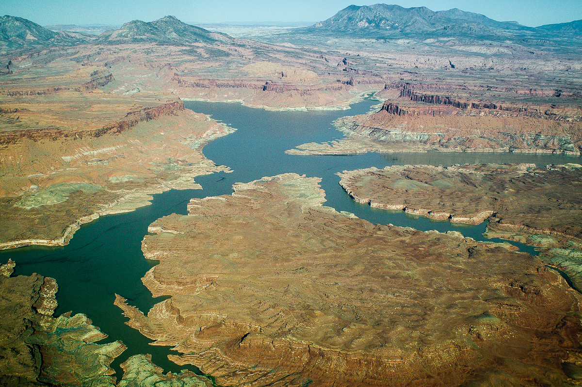
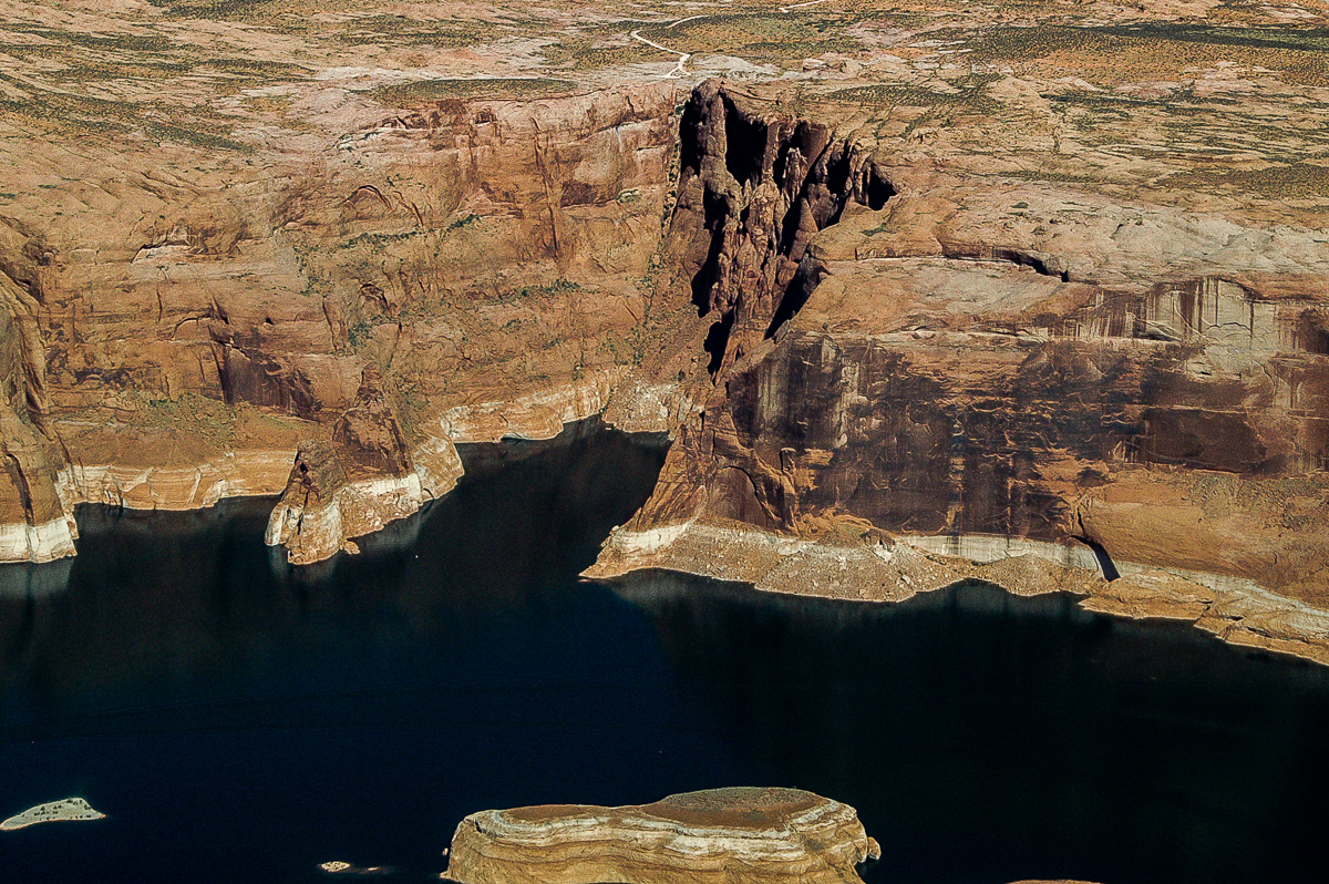
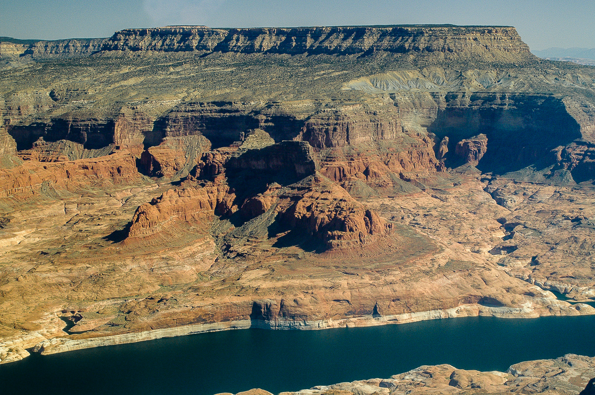
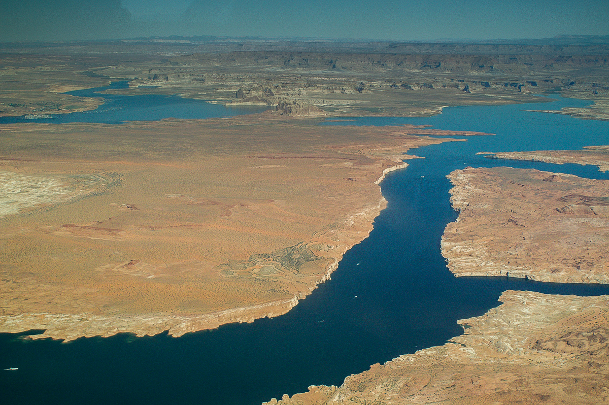
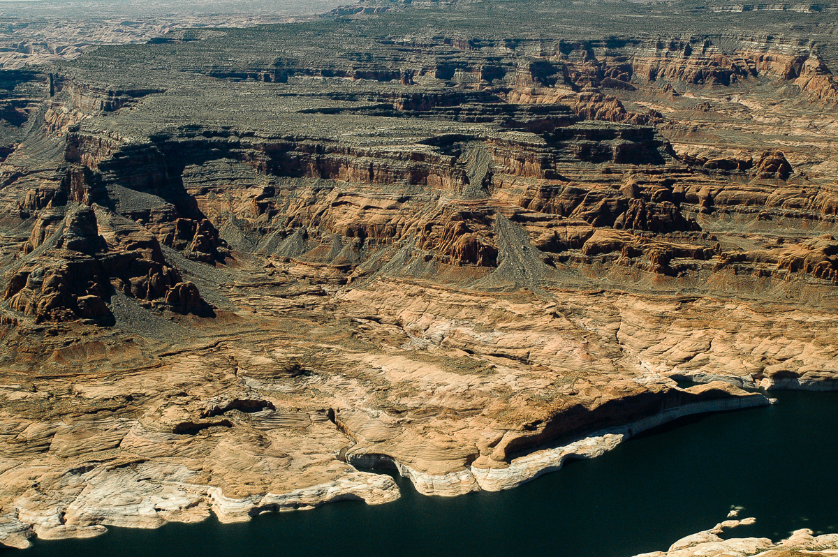
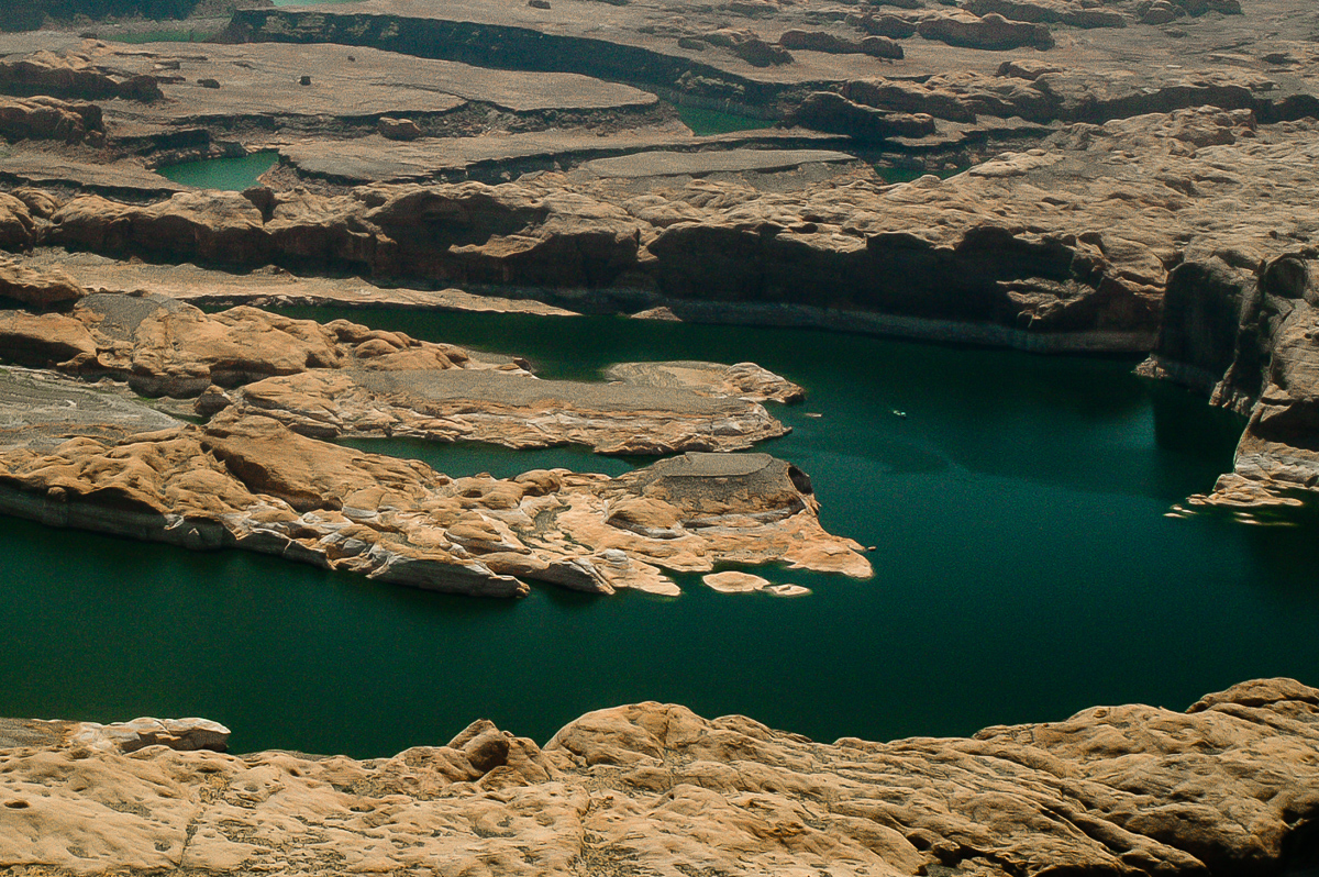
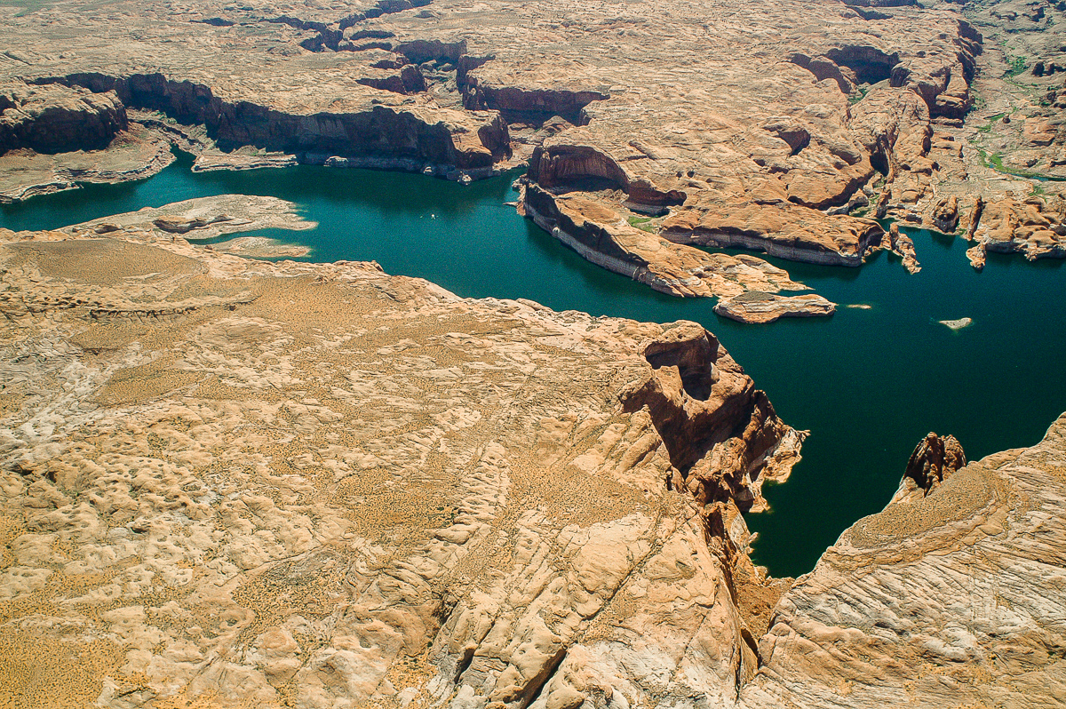
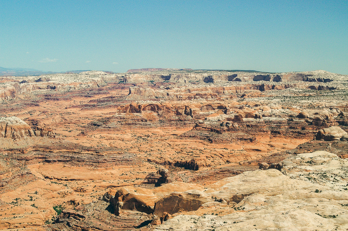
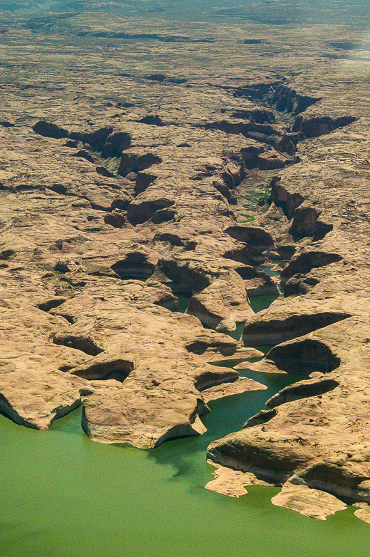
Glen Canyon
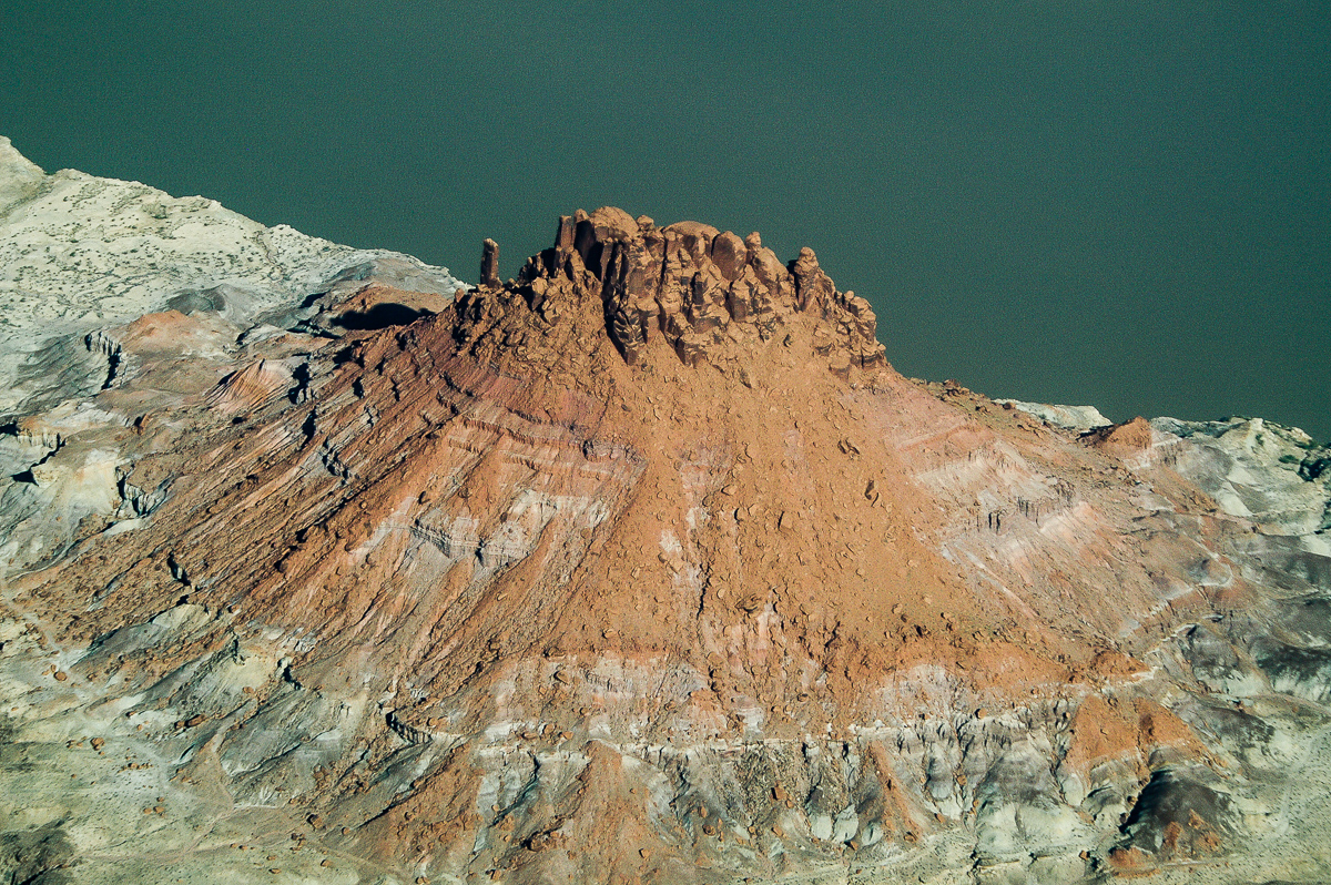
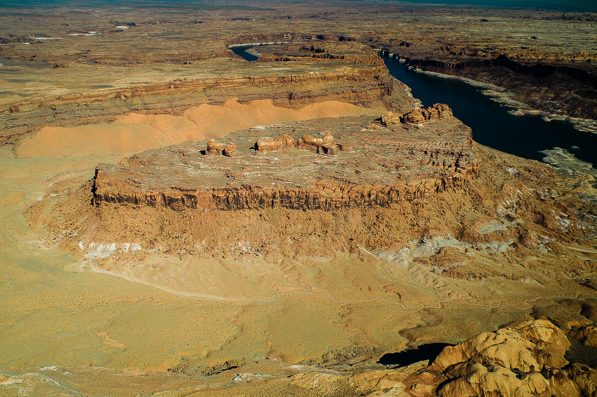
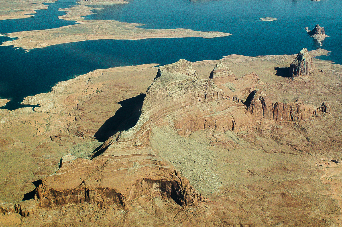
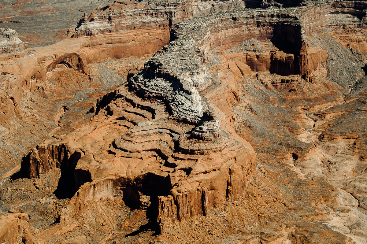
Castle Butte
Ticaboo Canyon
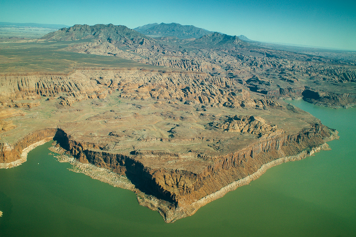
Good Hope Mesa

Tapestry Wall
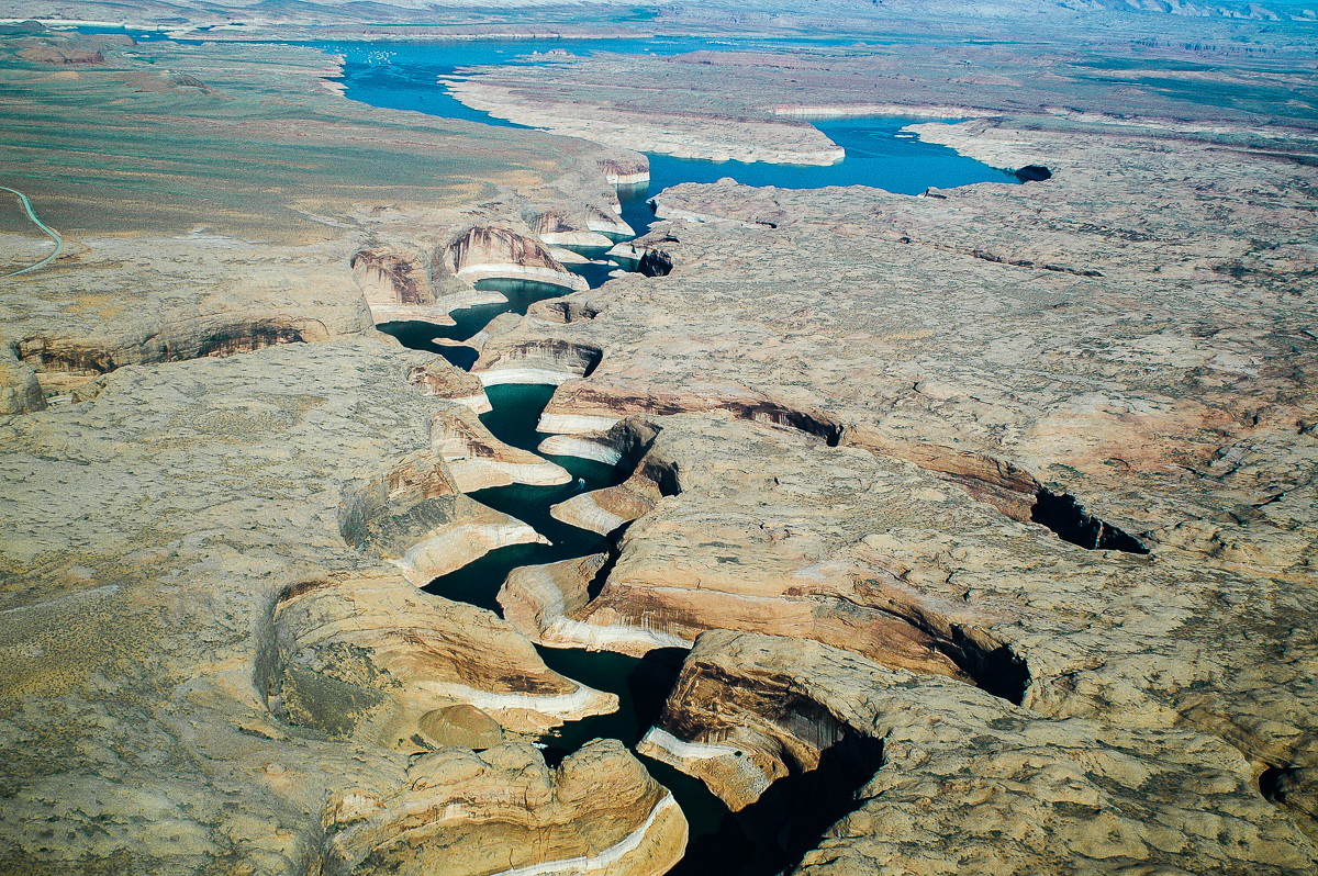
Forgotten Canyon
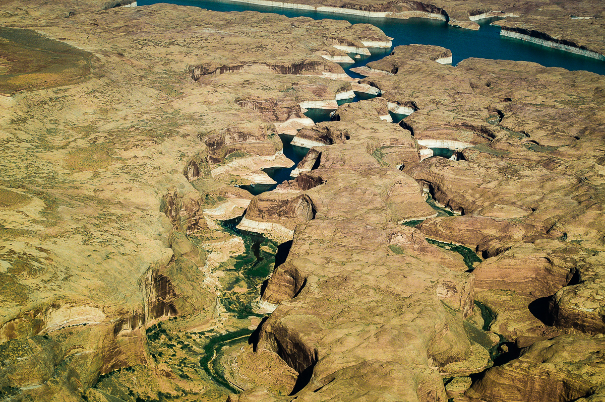
Moqui Canyon
The Rincon
The Rincon
To be continued.....
-
Post Thanks / Like - 3 Likes
-
02-21-2016 08:21 AM # ADS
-
02-22-2016, 06:39 AM #2
Chapter 2:
Chapter 2:
Hole in the Rock
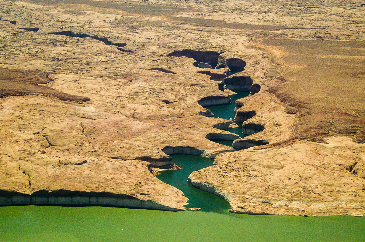
Nearly half of the way down is now covered by water.
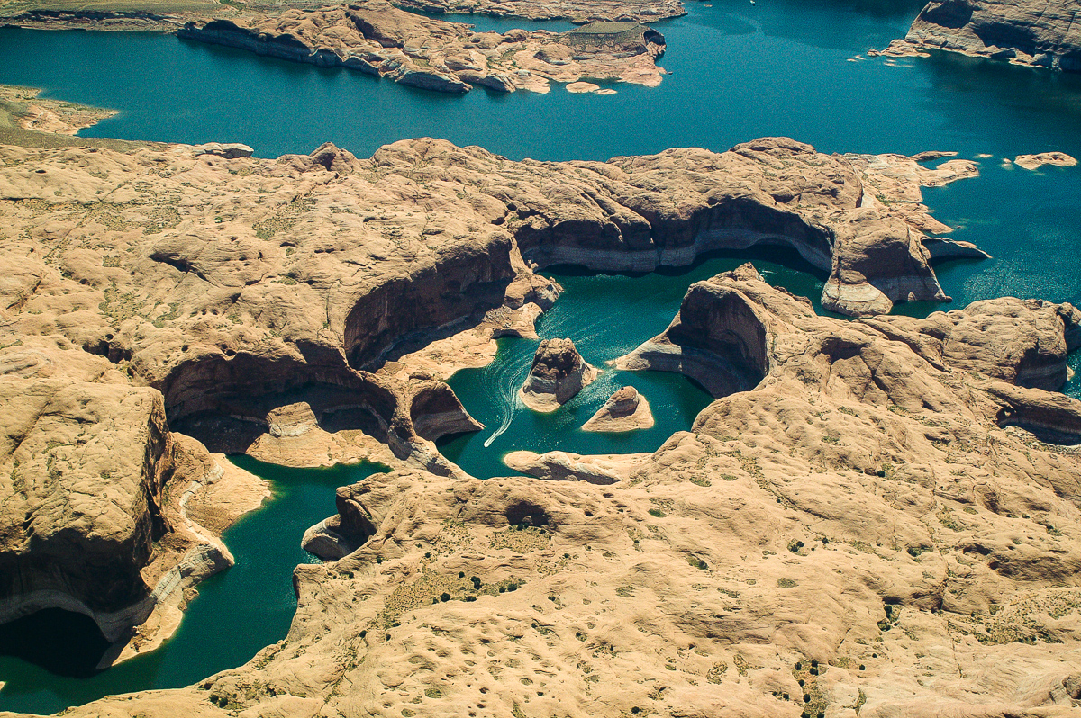
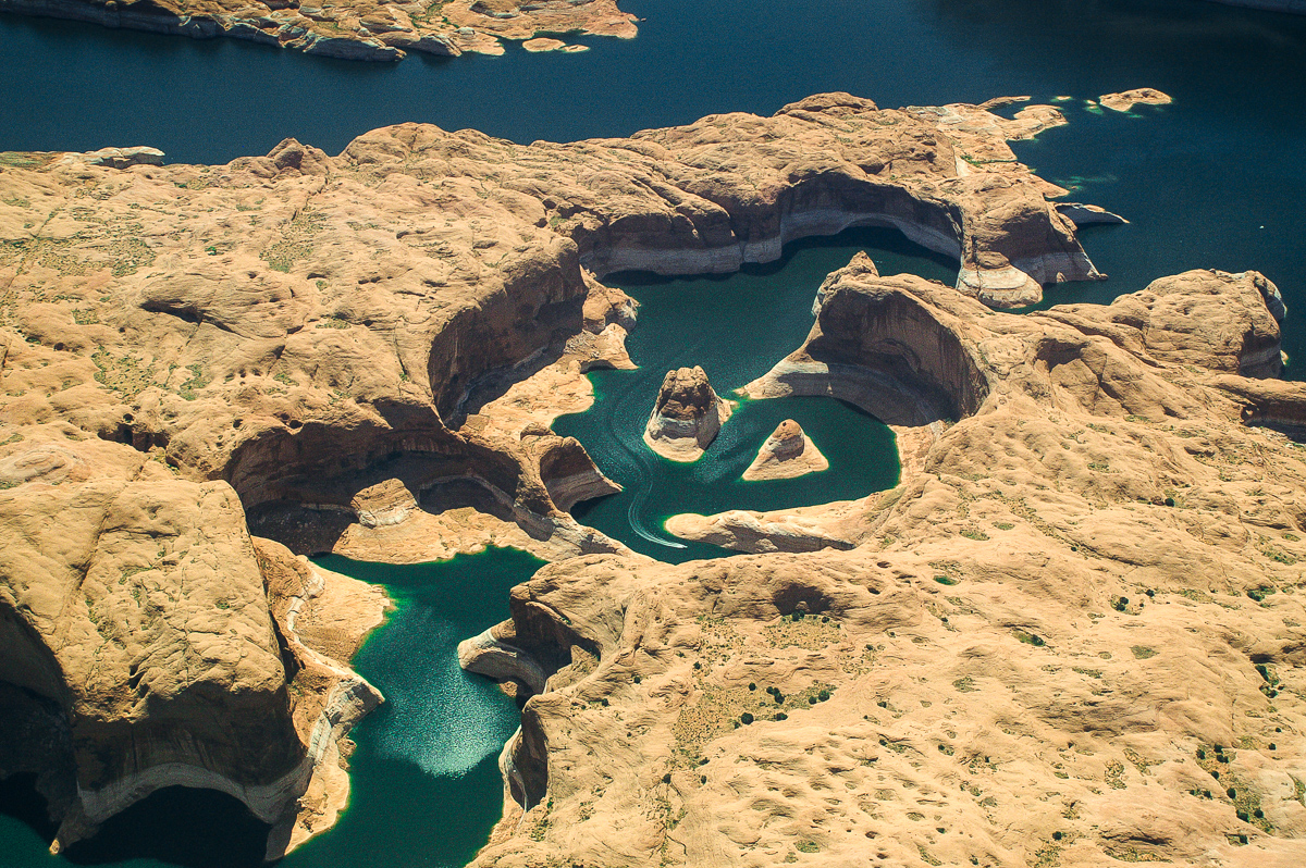
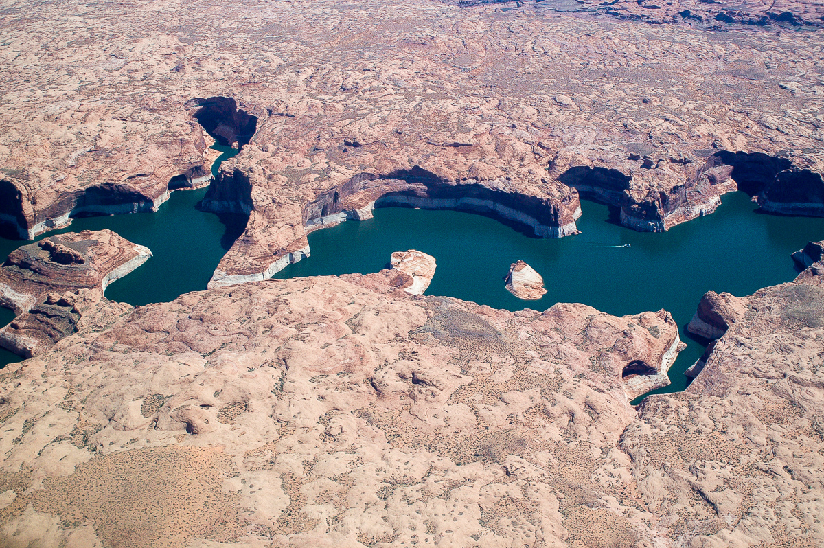
Reflection Canyon
North of Navajo Mountain. The trail leading to Rainbow bridge is visible even in the picture is technically mediocre.
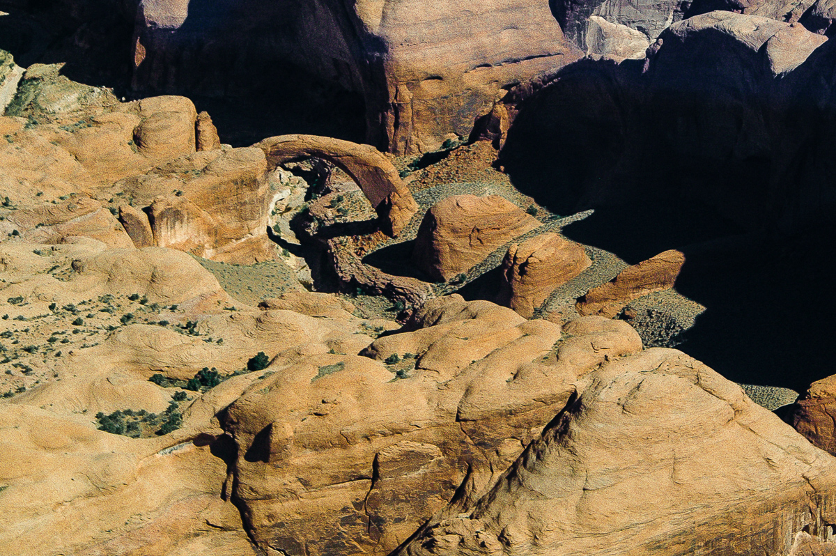
Several views of Rainbow Bridge.
Tim circled three times with the plane.
Forbidding Canyon
Navajo Point and Driftwood Canyon
Teddys Horse Pasture and Dangling Rope Marina
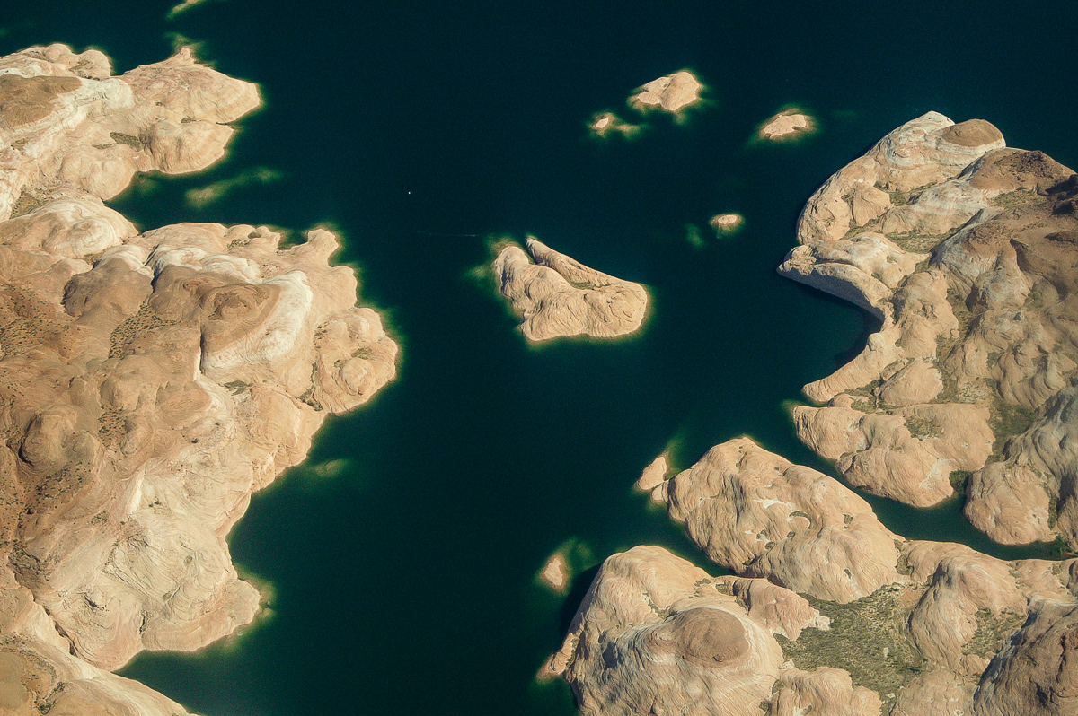
Propeller killers
Wetherill Canyon
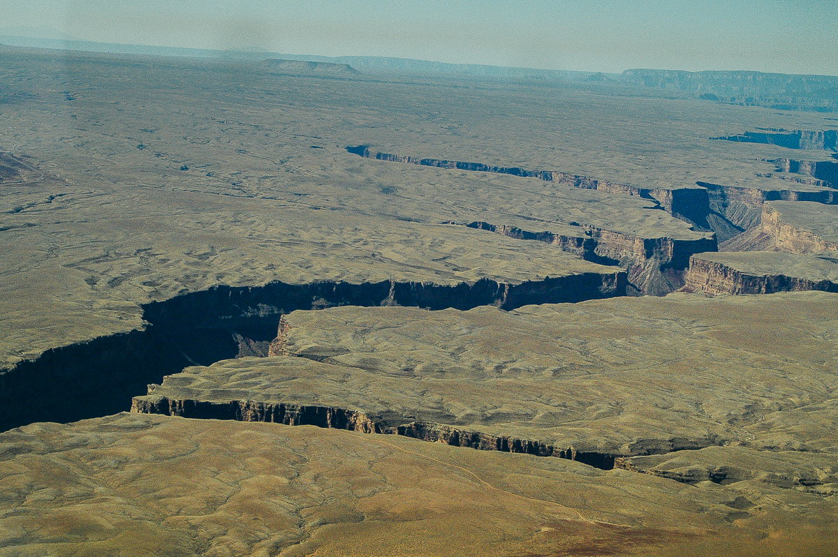
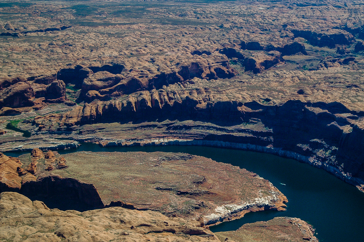
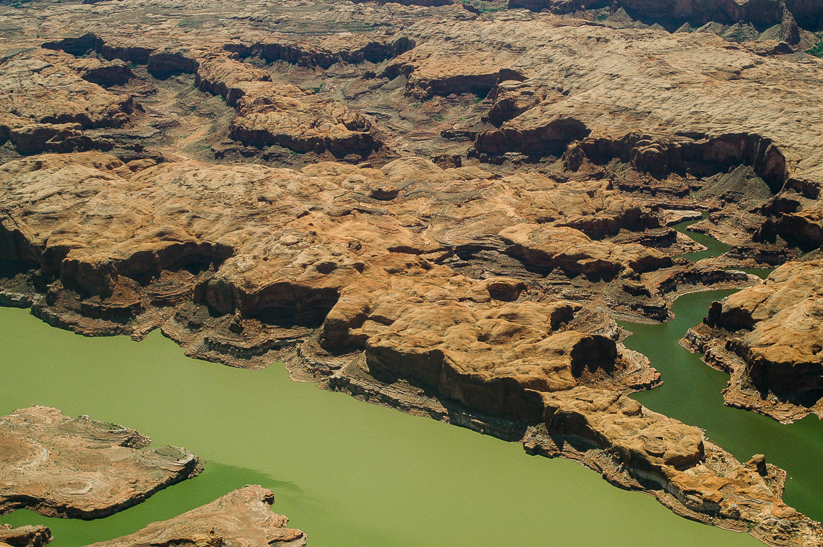
Drowned Goosenecks of the Colorado River
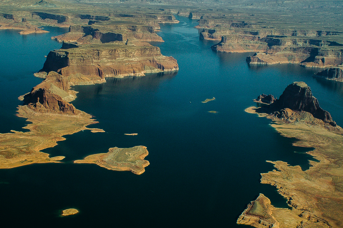
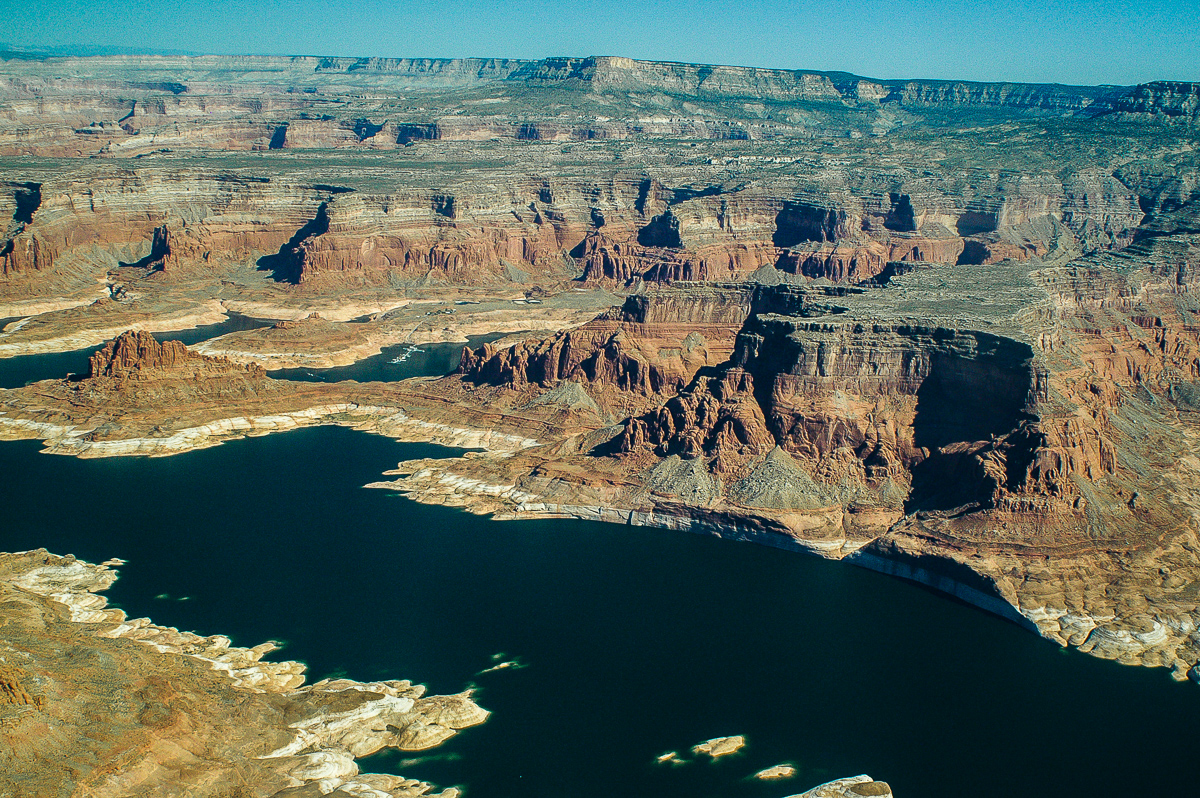
Last Chance Bay
Dominguez and Padre Buttes
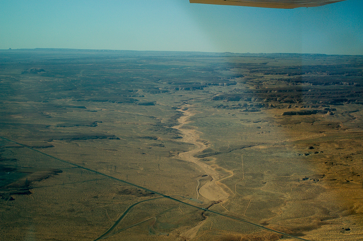
The Channel - Castle Rock Cutoff is dry and impassable
Too much window reflechtions - Upper Antelope Canyon
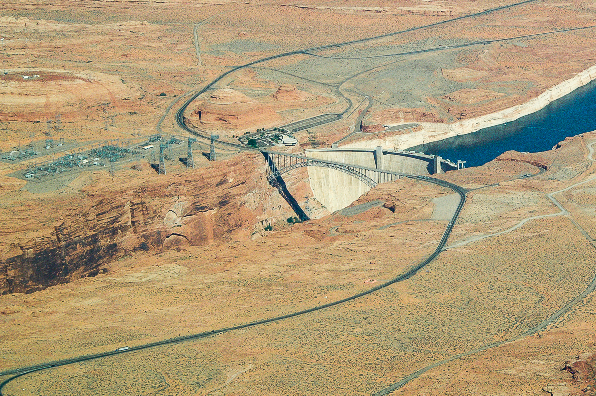
Glen Canyon Dam
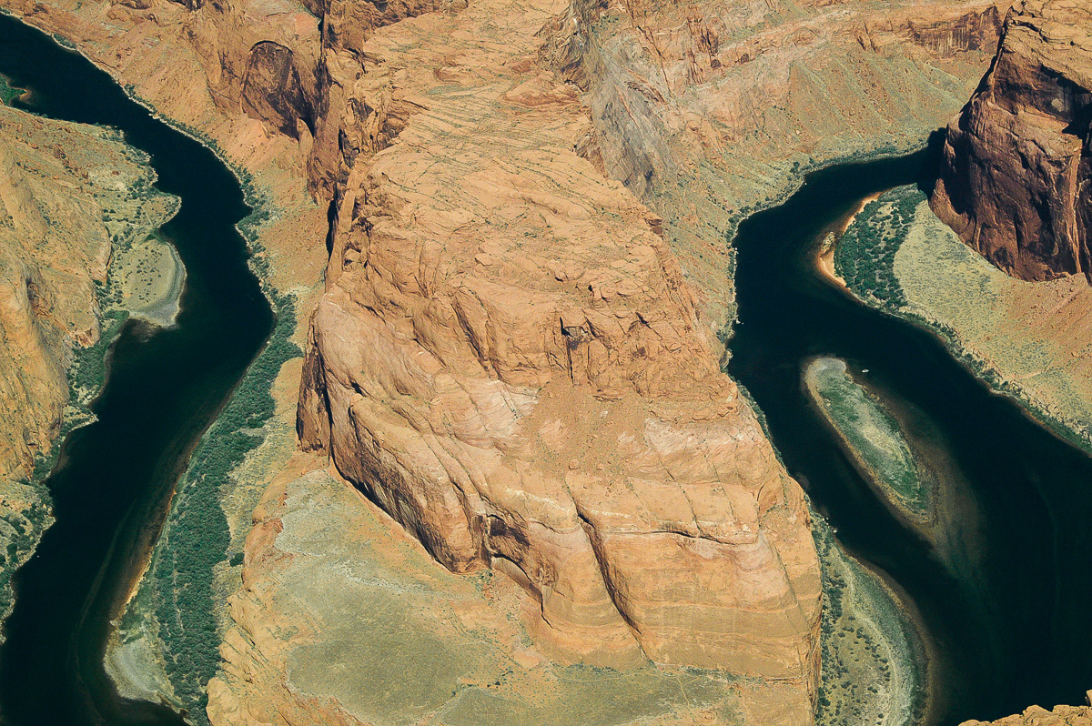
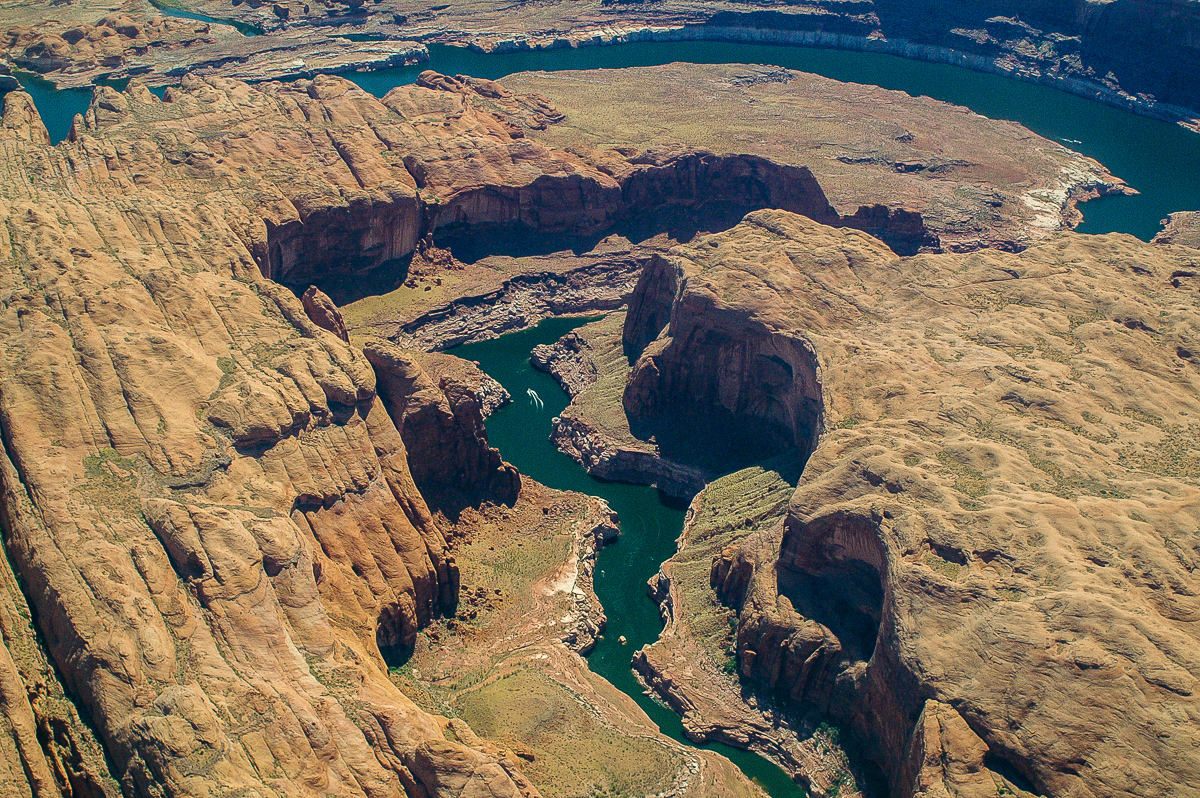
No hit of Bulls Eye: Horseshoe Bend
Paria River Canyon
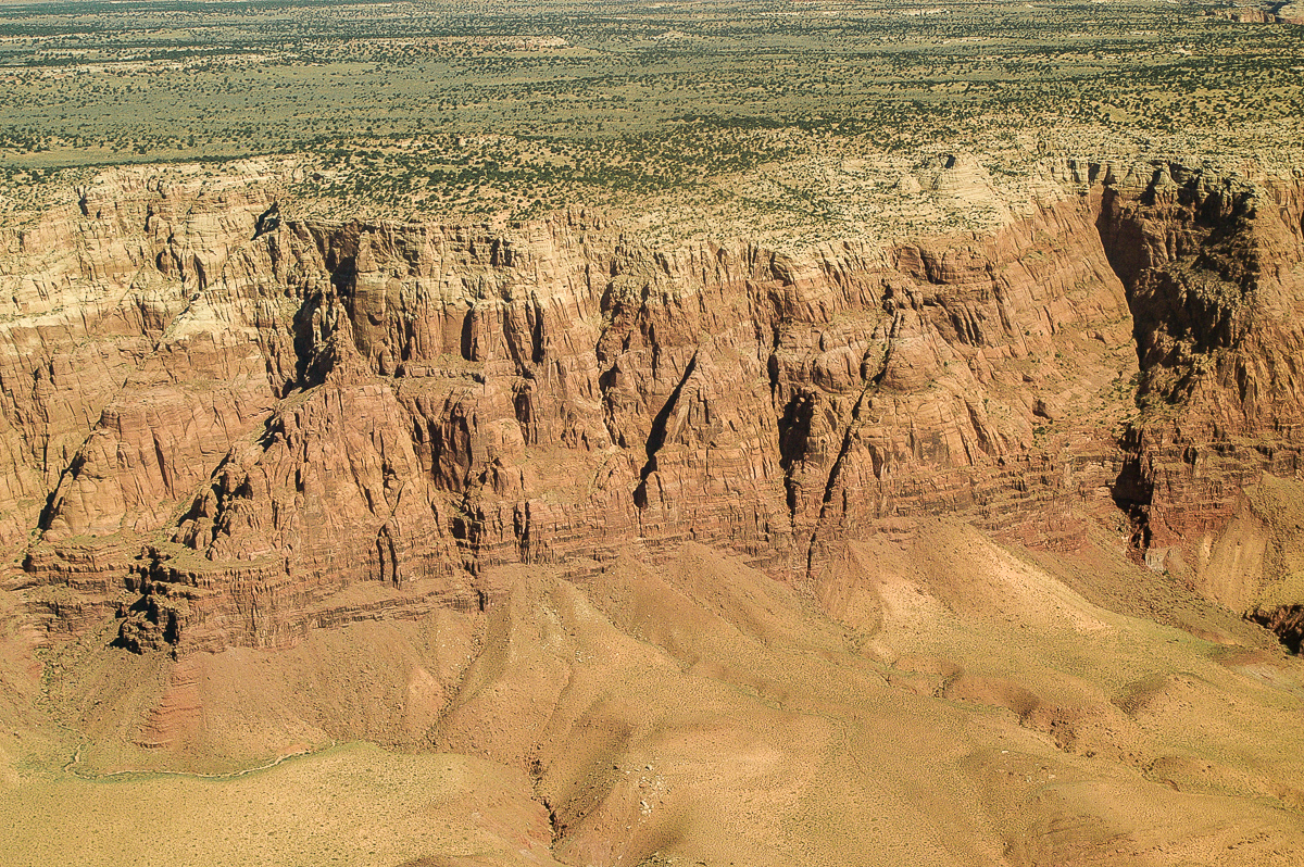
Vermilion Cliffs
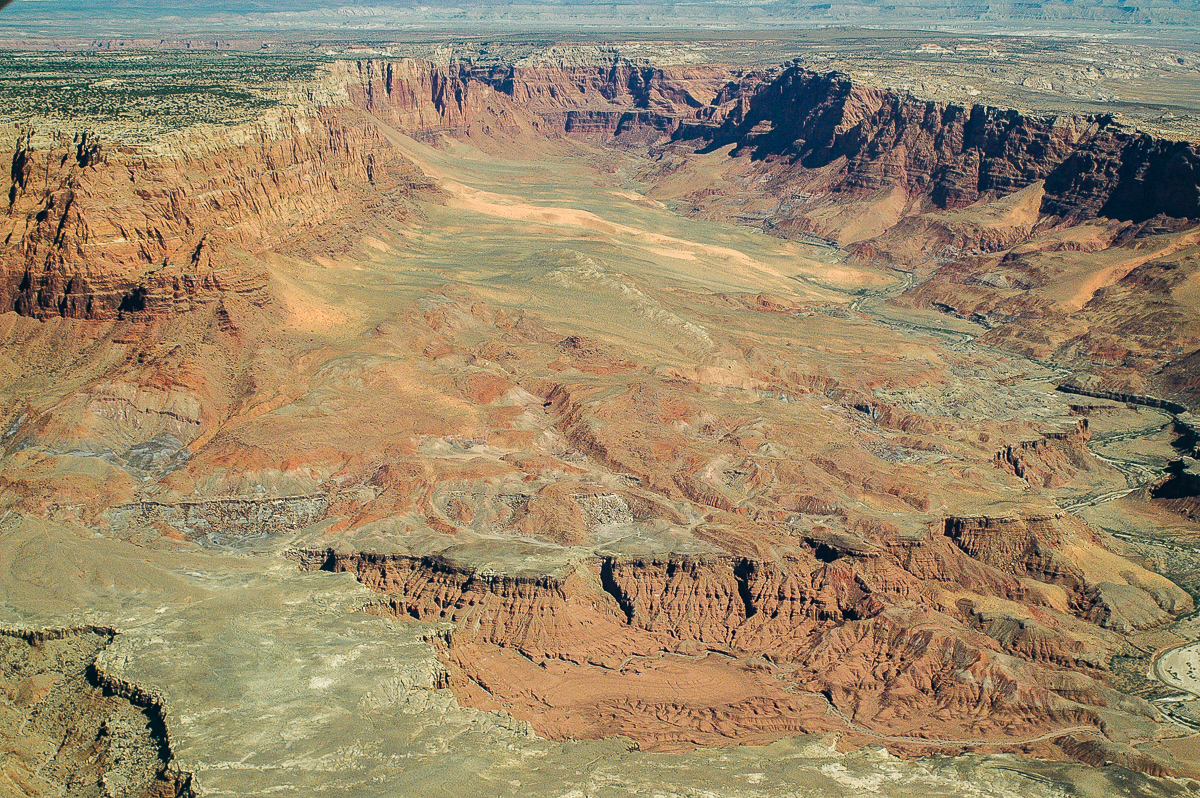
Marble Canyon

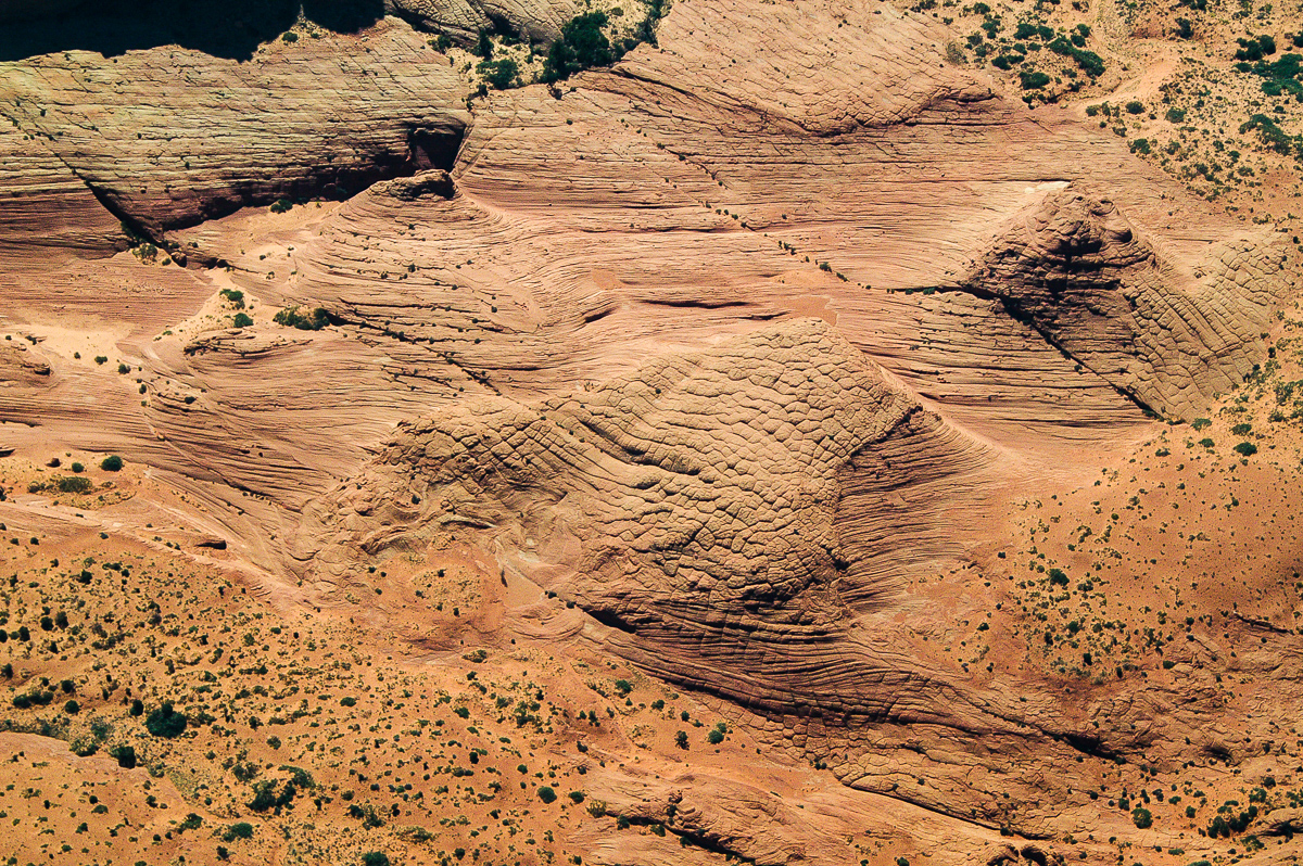
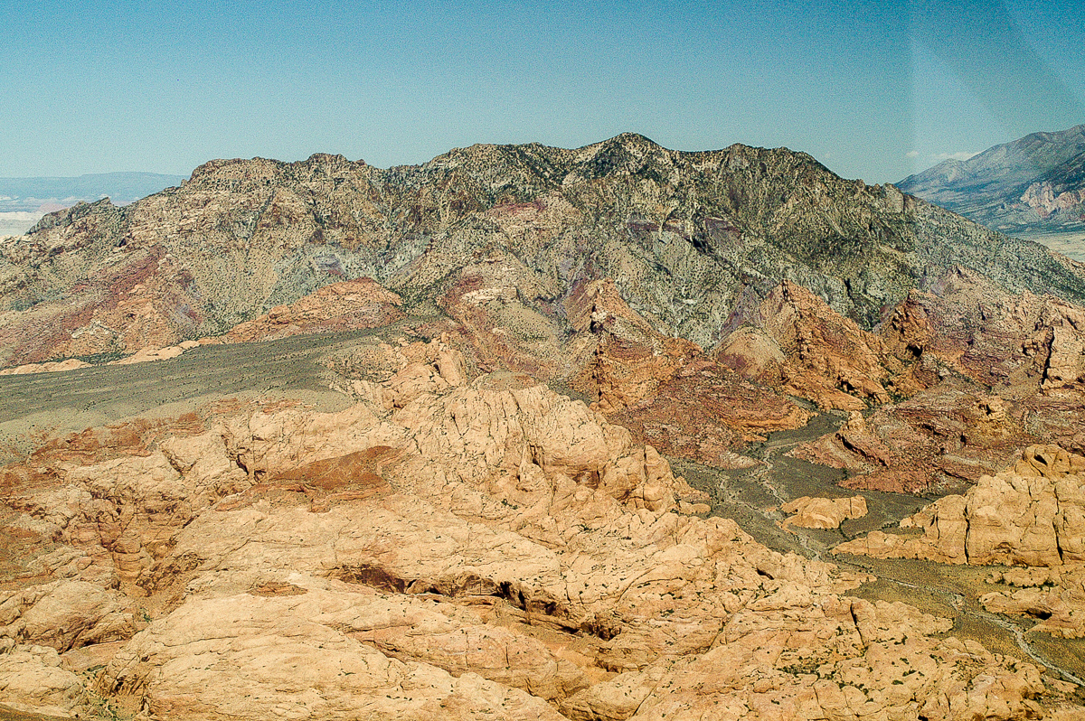
Approaching Coyote Butte
More to come....
-
Post Thanks / Like - 2 Likes
-
02-23-2016, 08:31 AM #3
Chapter 3:
Coyote Butte is a very special feature located at the Arizona - Utahb oder Line. One of these where looking down from a plane gives not necessarely the better view - it's a different one.
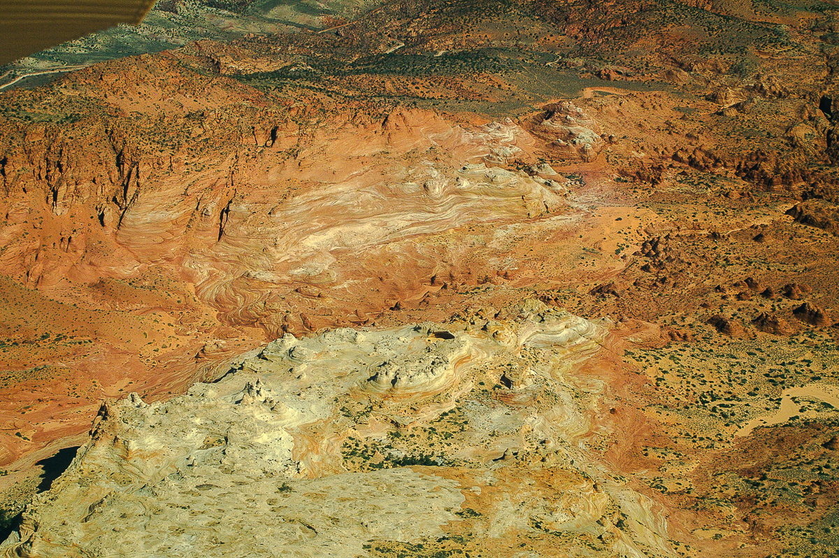
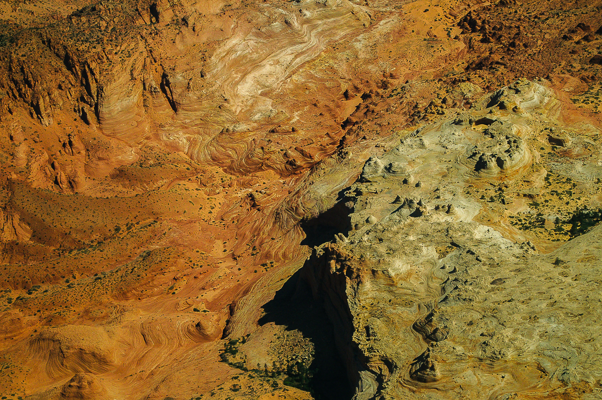

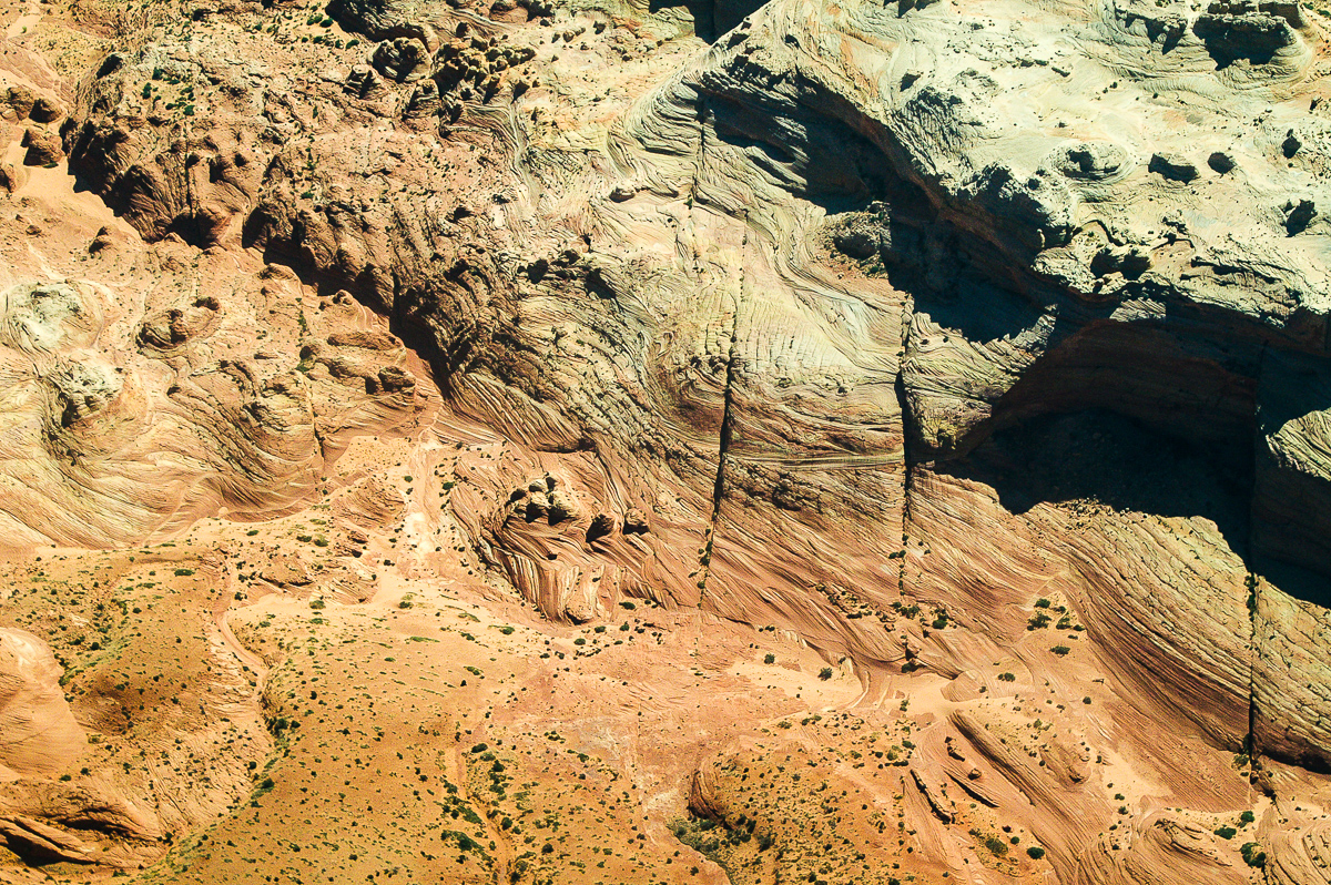

Coyote Butte North
This is where the Wave is located. Even if the Wave itself is not easy visible the colorful structures are awesome.
Buckskin Gulch and Paria River Canyon. Some kind of a slot confluence.
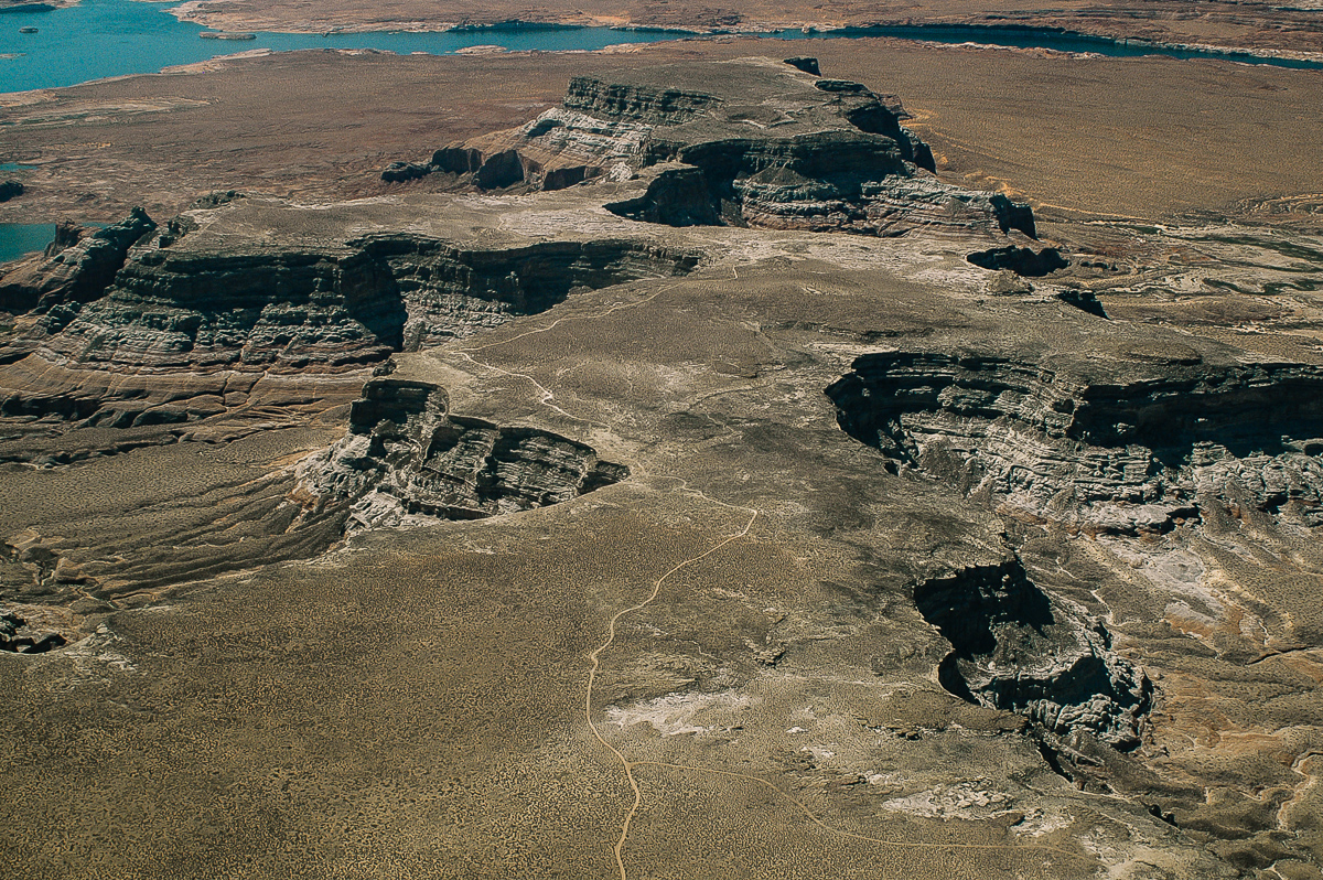
Nipple Bench north of Big Water
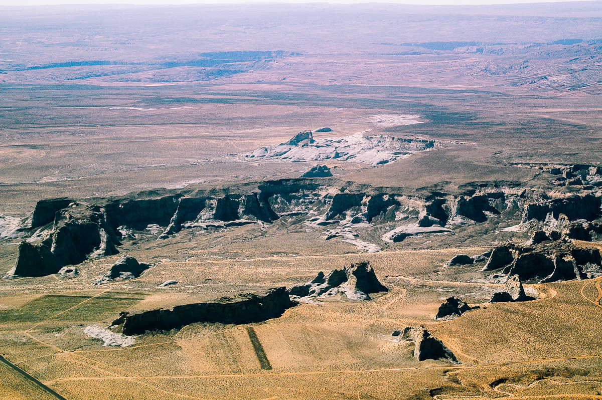
Stud Horse Point
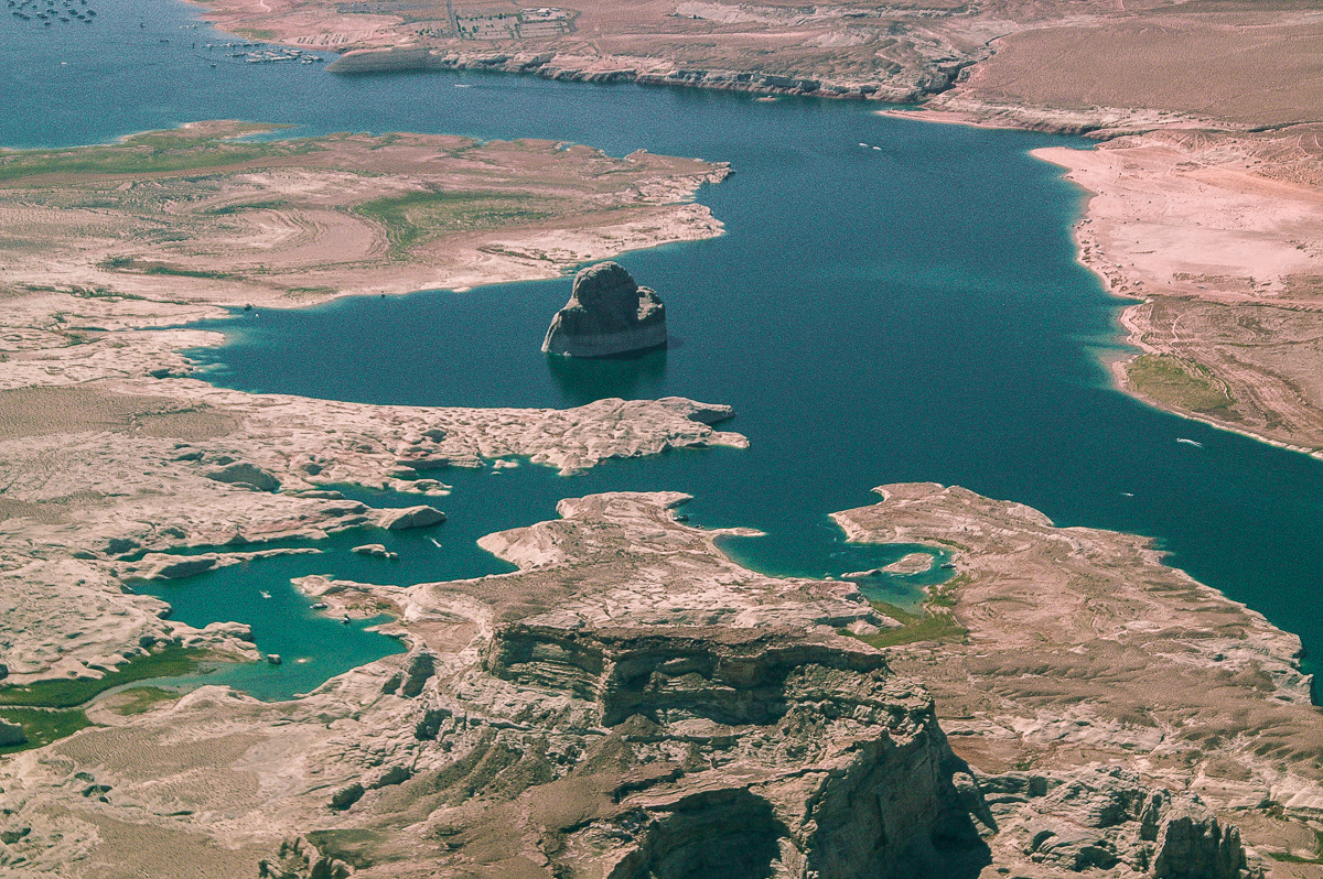
Lone Rock and Wahweep Marina
Wiregrass Canyon. The Cliffs are Called Mustard Cliffs. Must be due to the color.
Alstrom Point
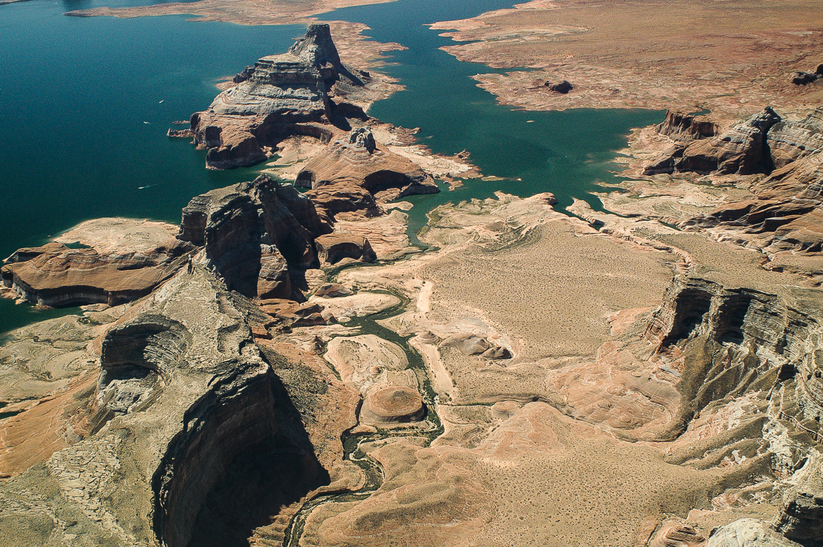
Little Alstrom Point
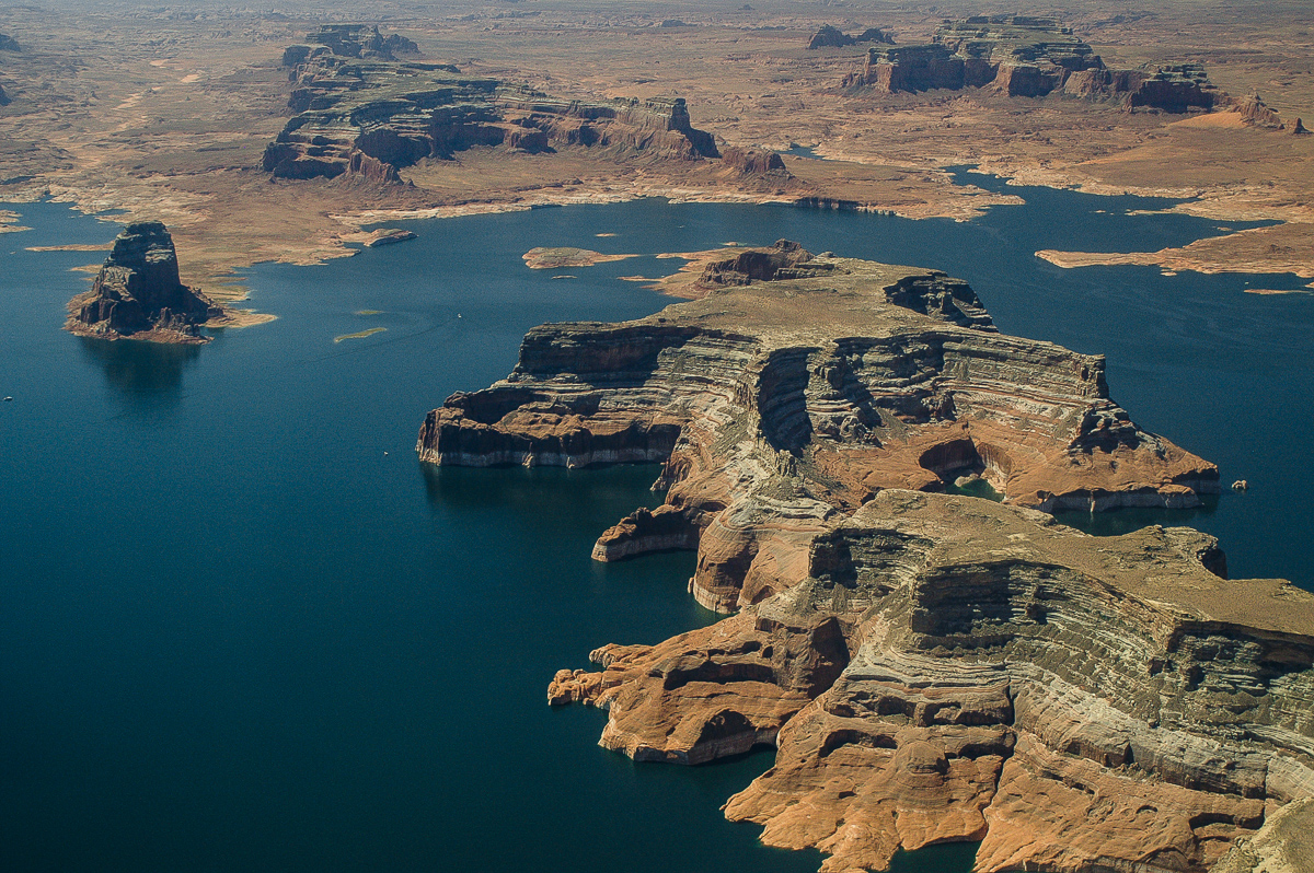
Gooseneck Point
Rock Creek
Dry Rock Creek
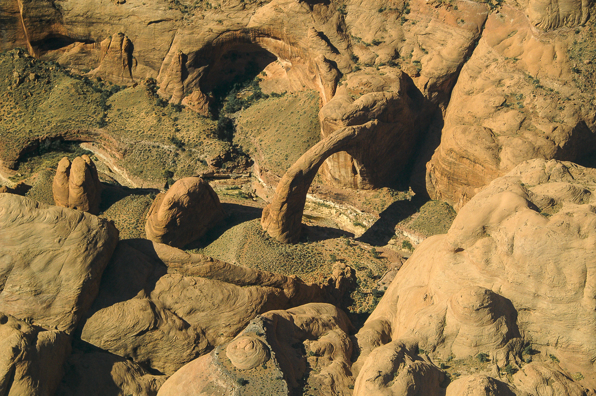
Little Arch Canyon
Balanced Rock Canyon below Navajo Point
Reflection Canyon
Mouth of San Juan River
Mouth of Llewellyn Gulch (more to the rigt on the left side of the River) and Cottonwood Canyon opposite to Hole in the Rock
Llewellyn Gulch
More to come....
-
Post Thanks / Like - 1 Likes
 oldno7 liked this post
-
02-25-2016, 08:25 AM #4
Chapter 4:
Again Hole in the Rock
On the other side Cottonwood Canyon where the Mormons carried on. The Chute was the next obstacle.
Escalante River
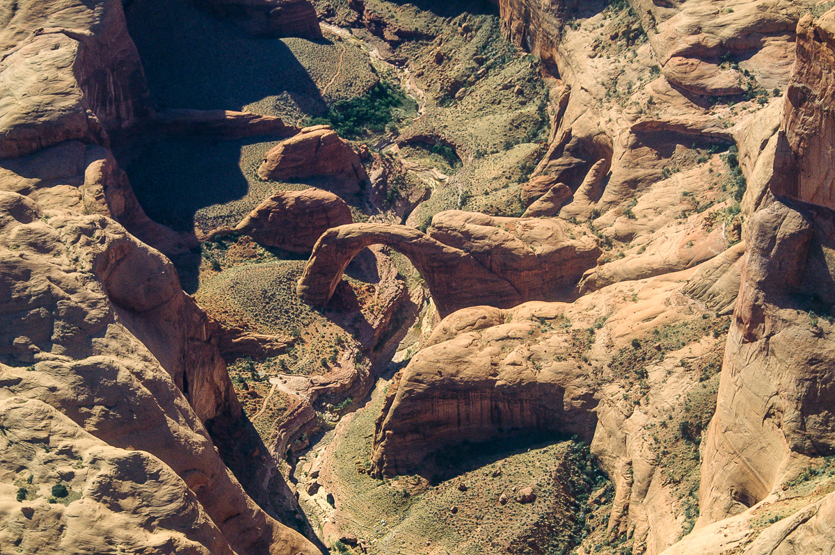
Stevens Arch from the South
Stevens Arch from the North
East of Stevens Arch
Stevens Canyon

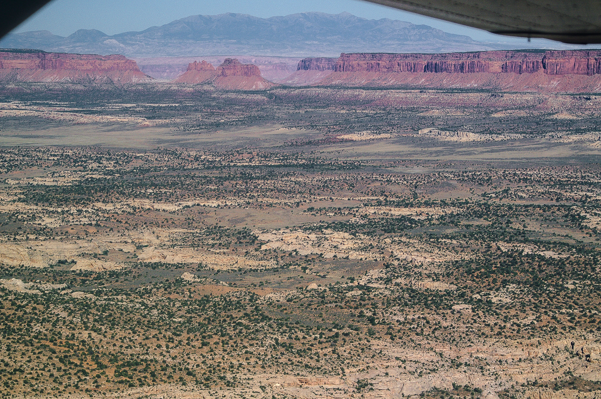
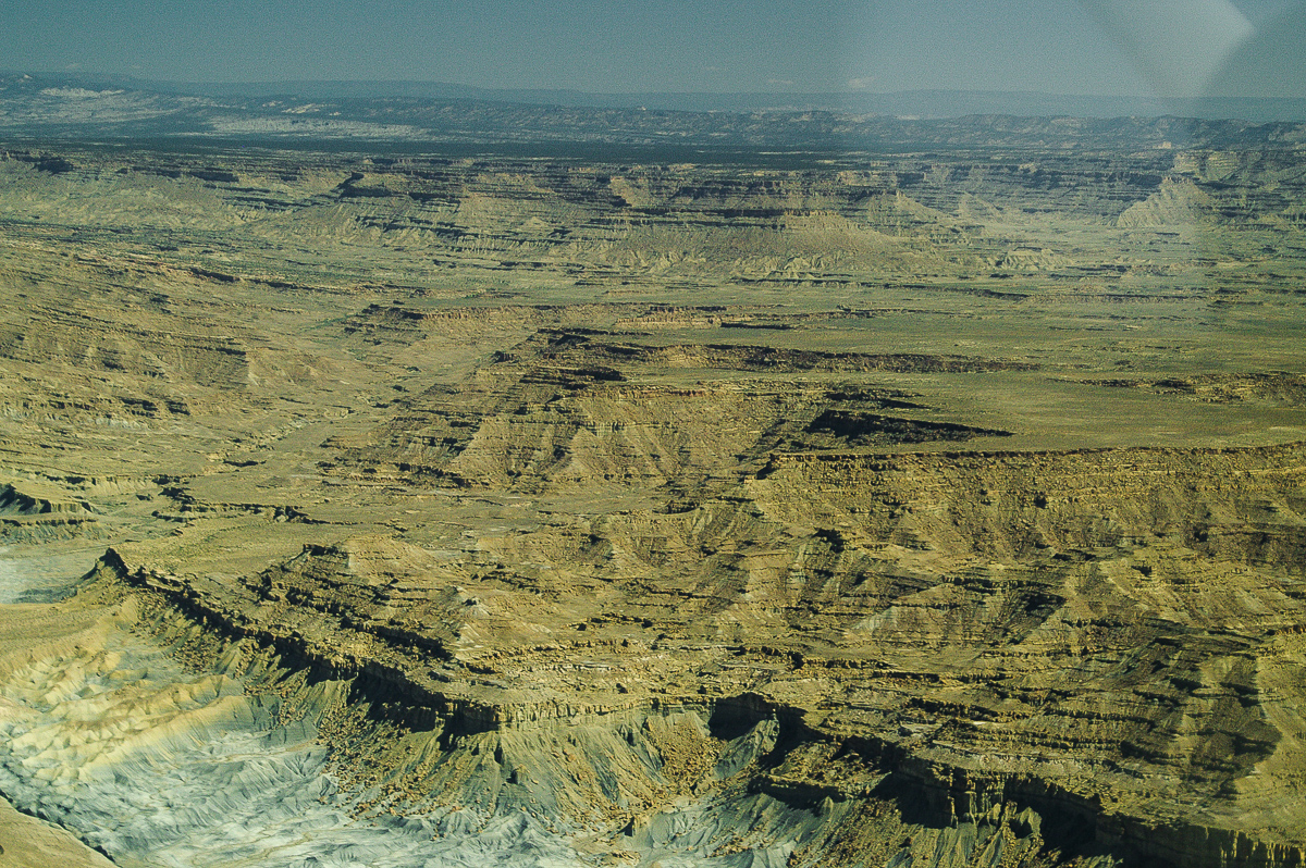
Waterpocket Fold

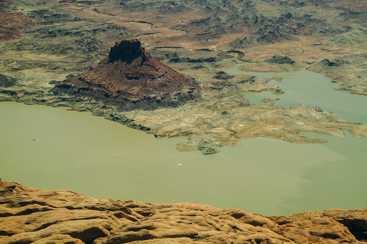
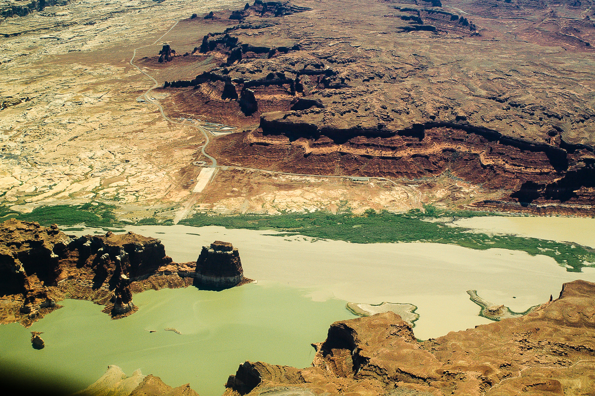
Moqui Canyon
Crystal Springs Canyon
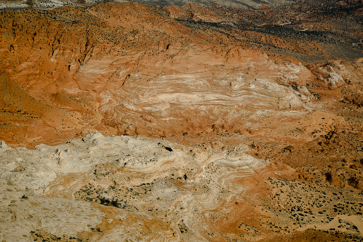
Easy to see how much sediments the water contains!
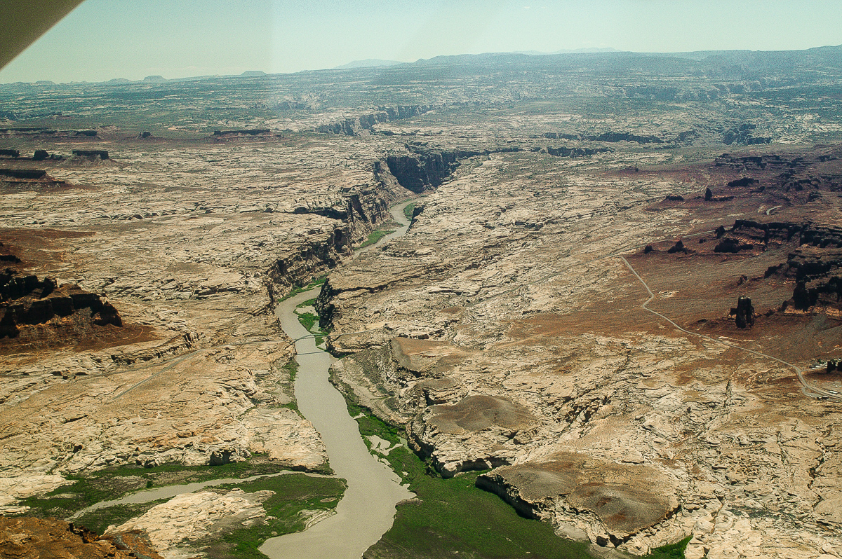
Forgotten Canyon
Cedar Canyon
Ticaboo Canyon
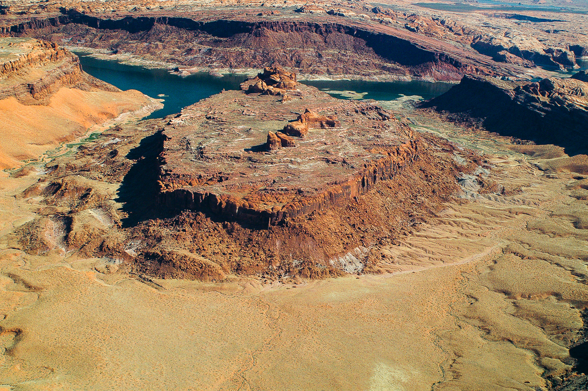
Castle Butte and Blue Notch Canyon
Scorup Canyon
Farley Canyon
Hite
Cataract Canyon, mouth of the Dity Devil River and the UT 95 bridge
Red Benches
Fiddler Cove Canyon
Hatch Canyon
Hatch Canyon and Dirty Devil River

Hatch Canyon and Gunsight Butte
Tim Martin flew through the right gap so deep that we had cliffs on both sides of the airplane.
To be continued......
-
Post Thanks / Like - 1 Likes
oldno7 liked this post
-
02-26-2016, 09:39 AM #5
Chapter 5:
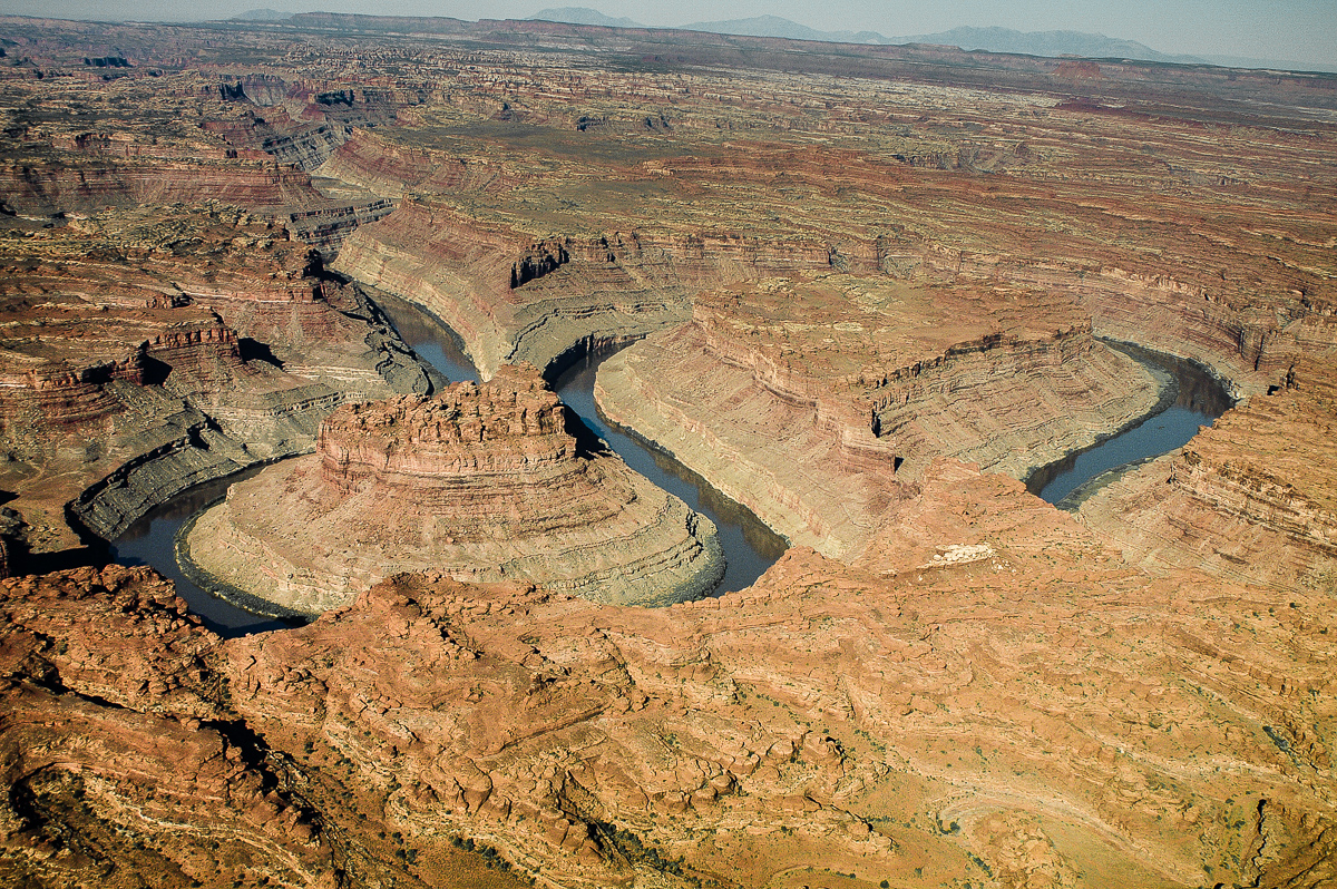
Colorado/Green River Confluence

Colorado River: The Loop
near Horsethief Canyon
Buck Canyon and White Rim
Gooseneck and Deadhorse Point
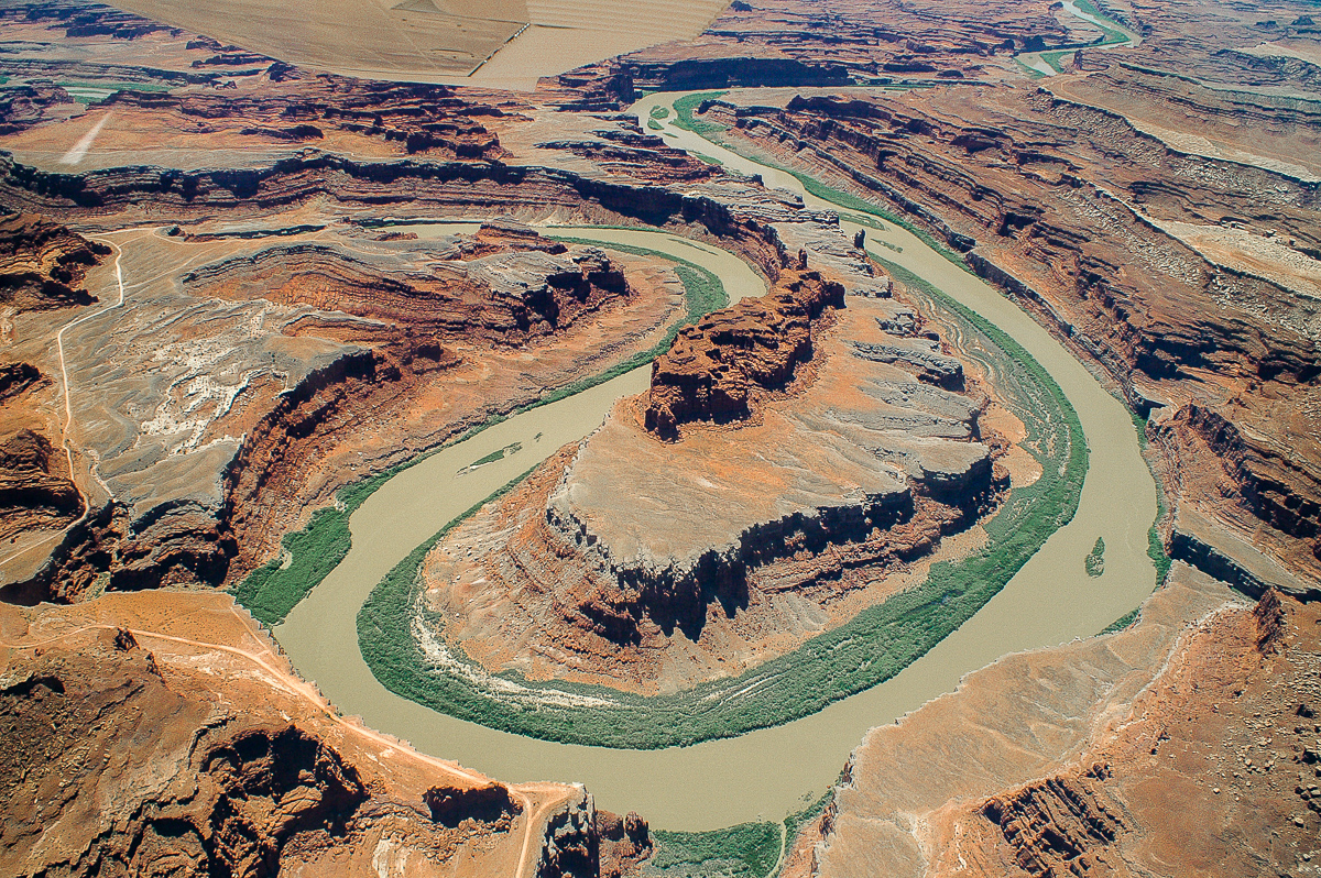
The Gooseneck and "Thelma and Louise - Point"
The end!
-
Post Thanks / Like - 3 Likes


 Reply With Quote
Similar Threads
-
Southern Utah
By Mtnseeker1 in forum MotorcyclingReplies: 5Last Post: 01-02-2015, 08:27 AM -
Hiking & Exploring Utah's San Rafael Swell -- 4th Edition -- Michael R Kelsey
By Sandstone Addiction in forum CanyoneeringReplies: 8Last Post: 04-25-2014, 04:30 PM -
[Trip Report] Southern Utah Ice
By nieder in forum Climbing, Caving & MountaineeringReplies: 16Last Post: 01-19-2014, 08:04 PM -
How well do you know Southern Utah?
By oldno7 in forum Hiking, Scrambling & Peak BaggingReplies: 29Last Post: 04-06-2010, 05:48 PM -
[Trip Report] Exploring the Maze in Utah
By killer in forum MotorcyclingReplies: 5Last Post: 11-21-2007, 06:09 AM
Visitors found this page by searching for:
Outdoor Forum
