

Results 1 to 5 of 5
-
12-17-2014, 04:37 AM #1
San Rafael Swell - The Western Slope - Slaughter Slopes
Heading back from Lone Tree Wedge we decide to stroll through the area for another two hours or so. At first we were heading to Mussentuchit Flat and going South to Cedar Mountain. Years ago we visited some point on the south end above Chimney Canyon where a trail starts down into the Chute.
Our maps (we use electronic topomaps on a notebook) showed a jeep Trail maybe 5 Miles long north of East Cedar Mountain. It ends on top of a cliff line and we thought there might be some views. Chimney Canyon Wash is more than 1,200 Feet below.
The area is called Slaughter Slopes and it is said that the name sticked to it after a large hunt for wild horses in the 1930ies.
Lets start with some pictures from the Mussentuchtit Flat.
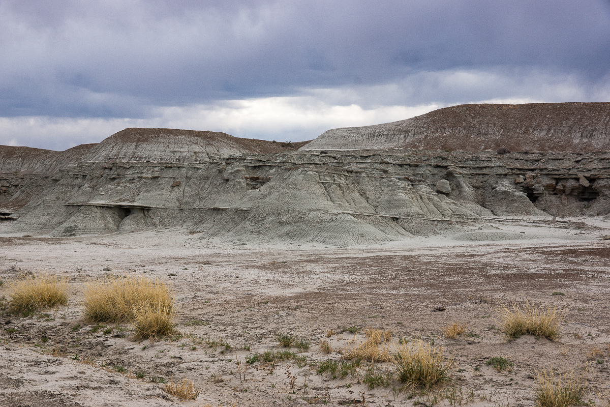
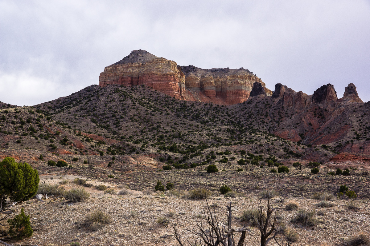
Hebes Mountain and the Upper Willow Spring Wash Badlands
Its easy to see that the strata is rising eastward to the middle of the Swell, but the grade is much less than on its eastern side - the reef! Hebes Mountain is capped by a resistant sill of cooled down volcanic material. More volcanic features can be seen around Cedar Mountain.
Grey in Grey - rocks and sky
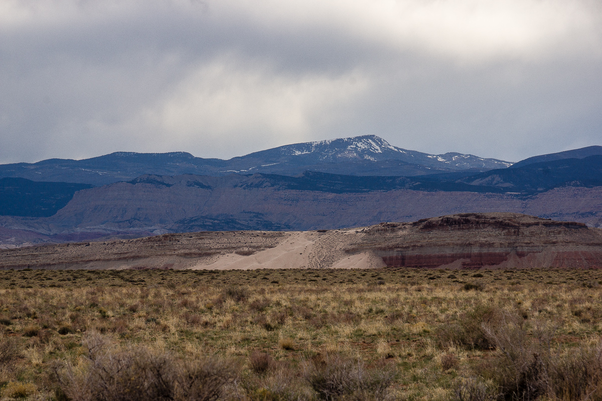
Mussentuchit sand dune
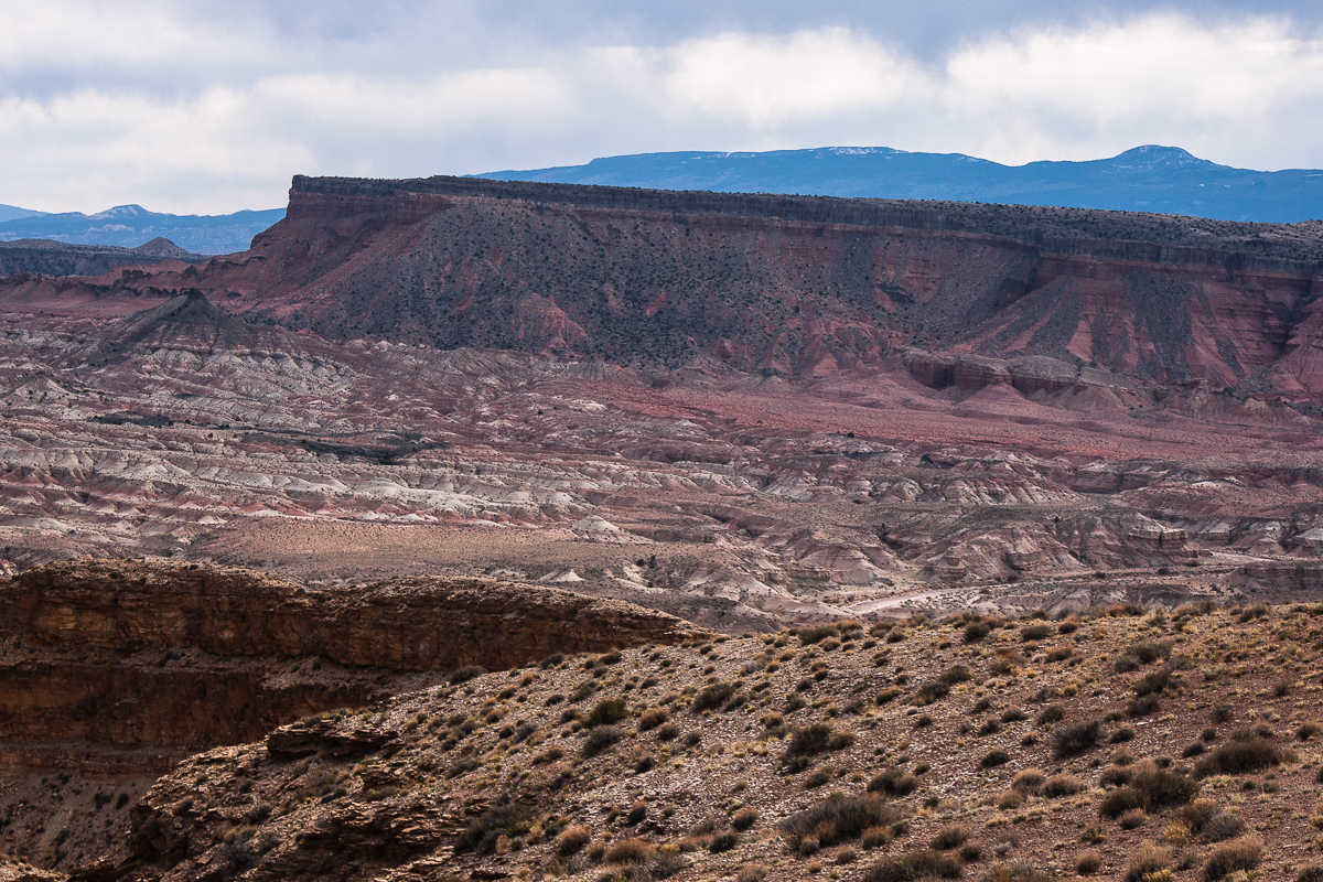
East Cedar Mountain
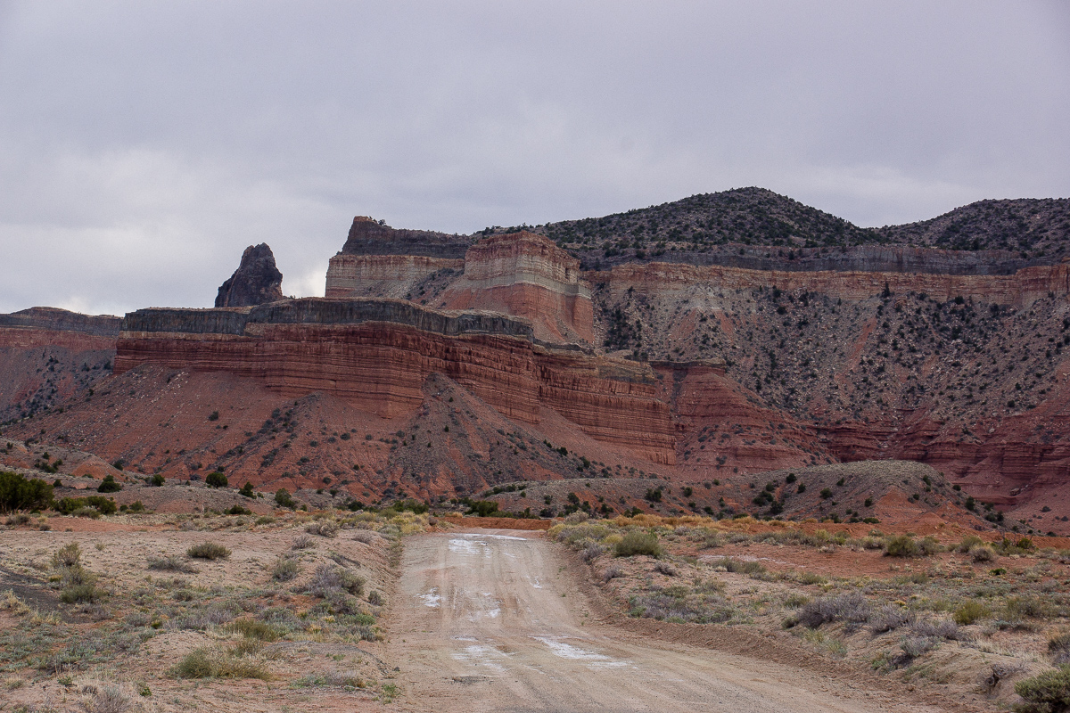
More sills and a volcanic neck at West Cedar Mountain
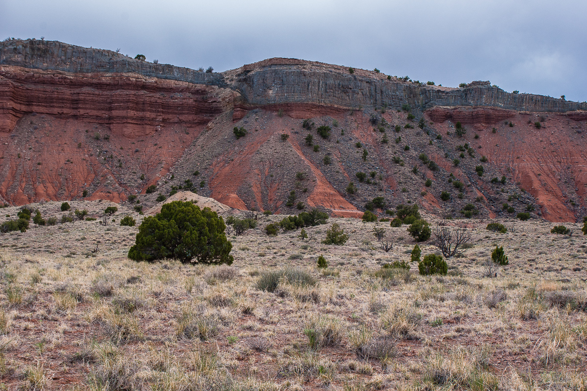
Debris from the sill
East Cedar Mountain again
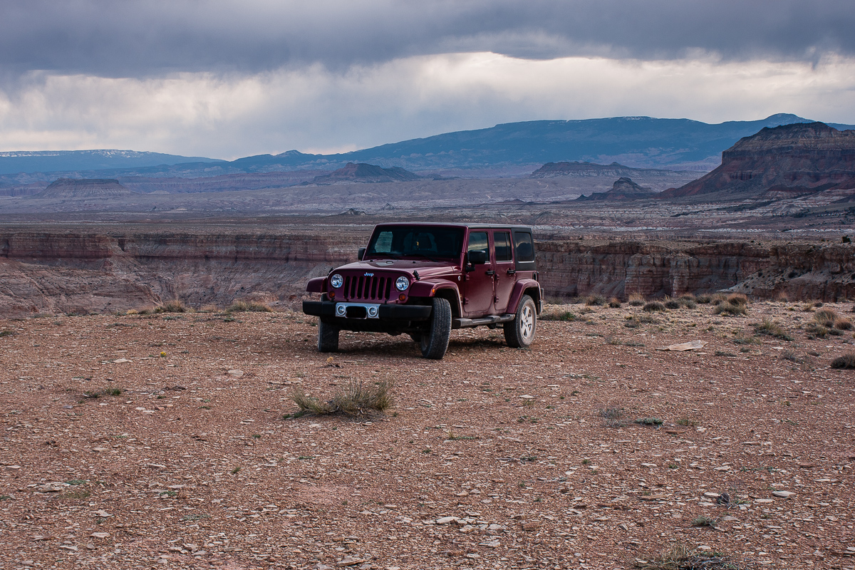
On a view point high above Chimney Canyon
Coordinates: 12S 0496420 4275710
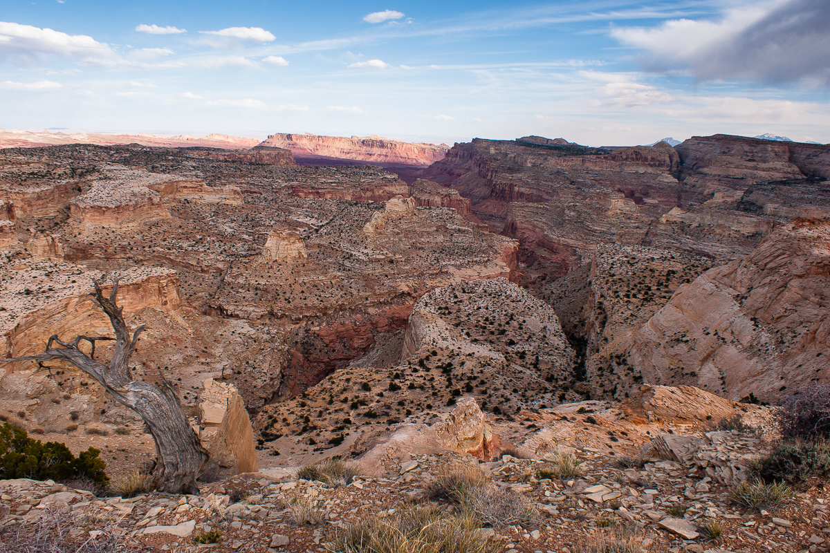
Chimney Canyon
Our maps read "Johns Hole"
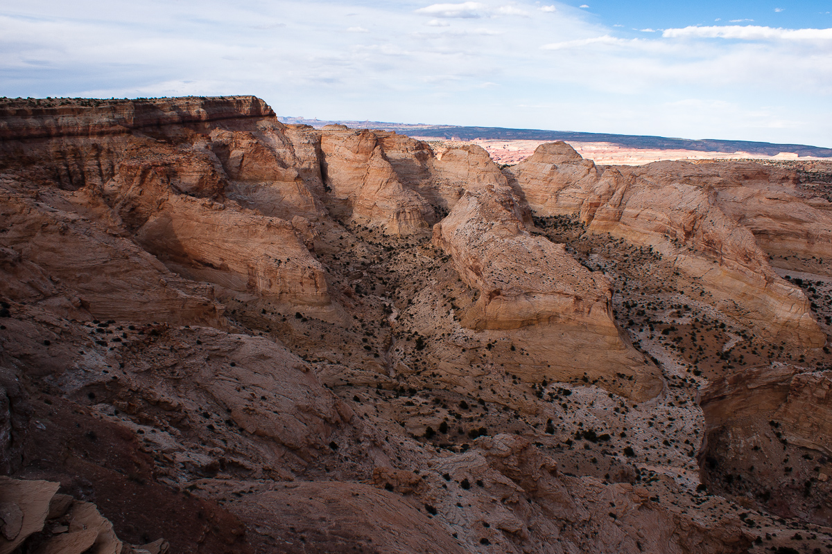
The trail runs along the rim in a northeastern direction. The maps don't show it anymore but it is still not too difficult to follow. We haven't explored it the whole lenght. (I guess it ends above the headwater of Ireland Mesa Canyon.)
After a little bit more than a mile we decided to stop, take some more pictures and later return to I 70 and Moab. It is 6:30 pm.

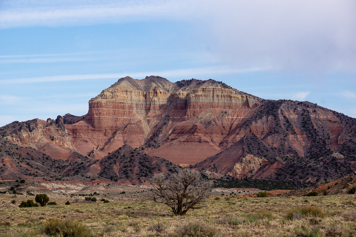
Tomsich Butte and Hondu (Hondoo?) Country

Using a "long" lens shows the top of Hondu Arch

Suddenly some sunshine in the evening

Looking back to Chimney Canyon
On the right the rim the trail follows to the northeast.

Muddy Creek Canyon, Factory Butte and the Hernry Mountains in an distance

Muddy Creek Gorge through the Reef
The dumps from the infamous Delta (Hidden Splendor) Mine can be seen. Years ago we travelled the gorge several times by car (SUV).

Zoomed in: Black Beauty Factory Butte

Red Dot below the rim
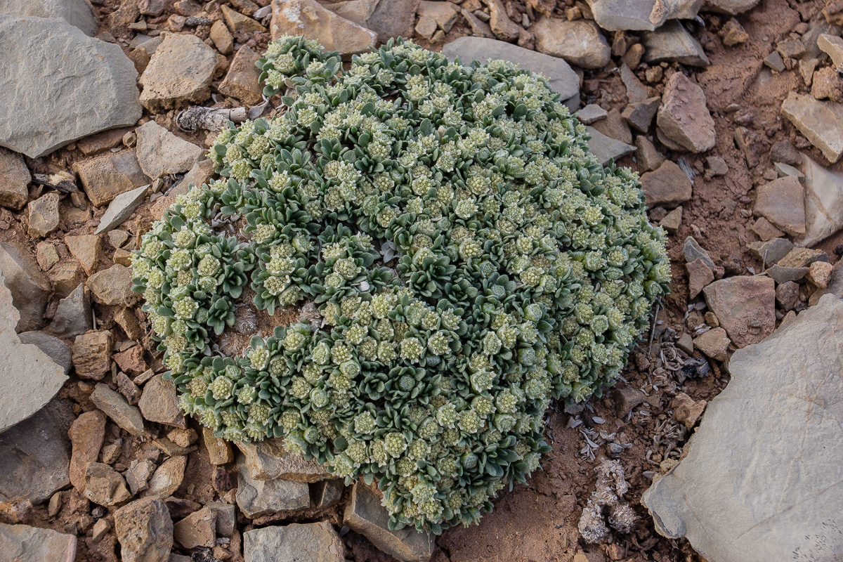
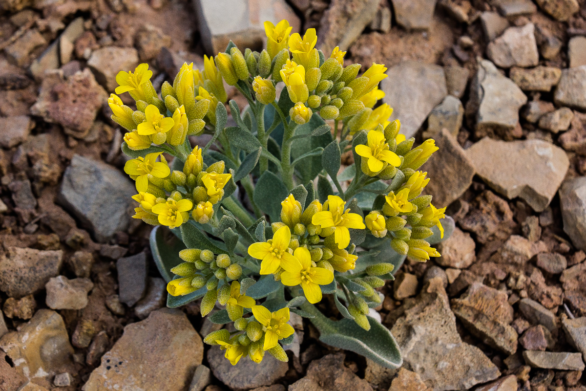
Flowers we found:
???
Newberry's Twinpod

Oreocarya flavoculata - Forget-me-not

Showy Stoneseed(?)

A last view in evening light over Chimney Canyon
We returned to the Interstate via Salt Creek Road entering the freeway at exit 108.
-
Post Thanks / Like - 2 Likes
-
12-17-2014 04:37 AM # ADS
-
12-17-2014, 04:30 PM #2
Cool! That Factory Butte picture - is that the northern part of the Henrys in the background? Bull Mountain or something?
Just where is it I could find bear, beaver, and other critters worth cash money when skint?
-
12-17-2014, 04:32 PM #3
Also, are those UTM meters coords? If so, why would it be 12S? Shouldn't we be in 12N?
Just where is it I could find bear, beaver, and other critters worth cash money when skint?
-
12-18-2014, 06:14 AM #4Yes, that is Bull Mountain.Bull Mountain or something?Utah is a very special and unique place. There is no where else like it on earth. Please take care of it and keep the remaining wild areas in pristine condition. The world will be a better place if you do.
-
12-18-2014, 07:15 AM #5
Thanks for the nice comments!
Right, the Factory Butte picture has Bull Mountain from the Henries in the background.
Coordinates are given in the UTM/UPS system which is basically metric. 12S has nothing to do with "South", it is a longitude zone marker. Coordinates on the southern hemispere have an "-" im front of the second number (4275710)
The UTM/UPS sytem is also used on the USGS Topomaps.
Iceaxe told me that the third picture from bottom up has to have the description "Oreocarya flavoculata - Forget-me-not", not "Phlox". Thanks for sharing the information.


 Reply With Quote

Similar Threads
-
[Trip Report] San Rafael Swell - The Western Slope and Lone Tree Wedge
By Hatchcanyon in forum Offroad 4x4, Side by Side and ATVReplies: 0Last Post: 12-14-2014, 04:10 AM -
[Trip Report] San Rafael Swell - The Western Slope and Mesa Butte
By Hatchcanyon in forum Offroad 4x4, Side by Side and ATVReplies: 0Last Post: 12-13-2014, 09:51 AM -
Snowshoe fun on the Western Slope
By abirken in forum Skiing, Snowboard, XC and SnowshoeingReplies: 15Last Post: 04-07-2012, 08:29 PM -
[Trip Report] Panorama of early morning storms and clouds over the Swell from Moroni Slopes
By Ryebrye in forum CanyoneeringReplies: 2Last Post: 08-14-2010, 08:22 AM
Visitors found this page by searching for:
Outdoor Forum
