

Results 1 to 12 of 12
Thread: Warner Valley
-
03-20-2011, 02:11 PM #1
Warner Valley
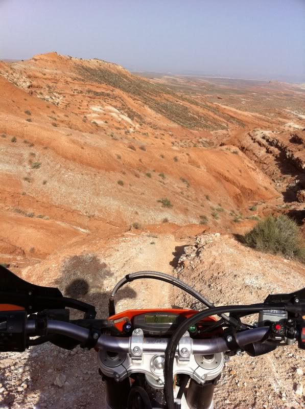
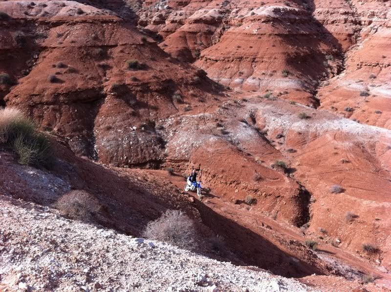
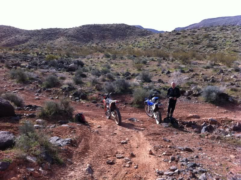
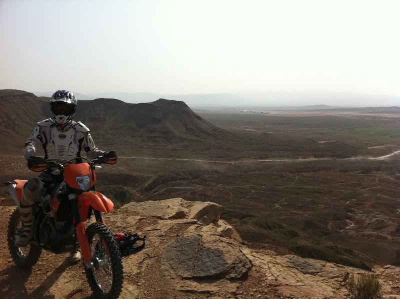
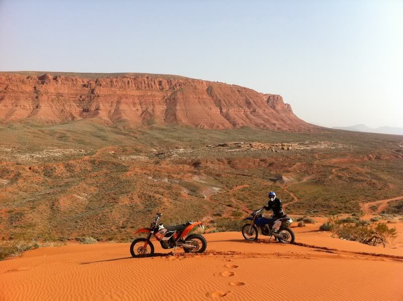
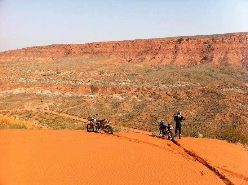
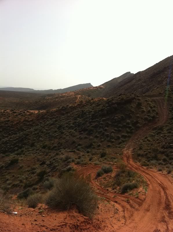
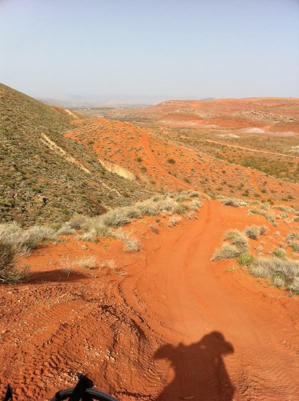
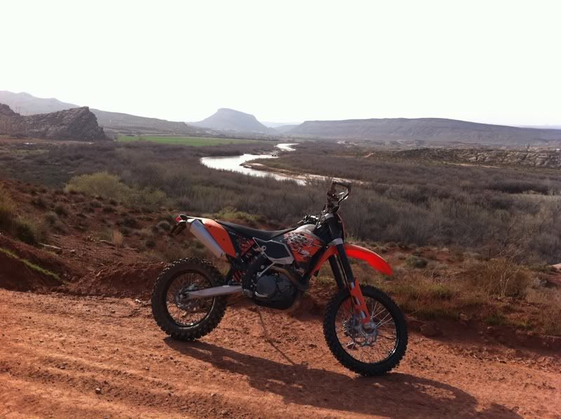
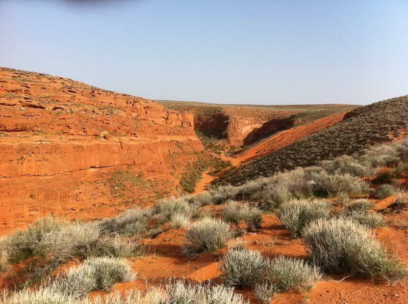
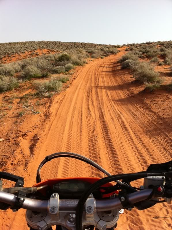
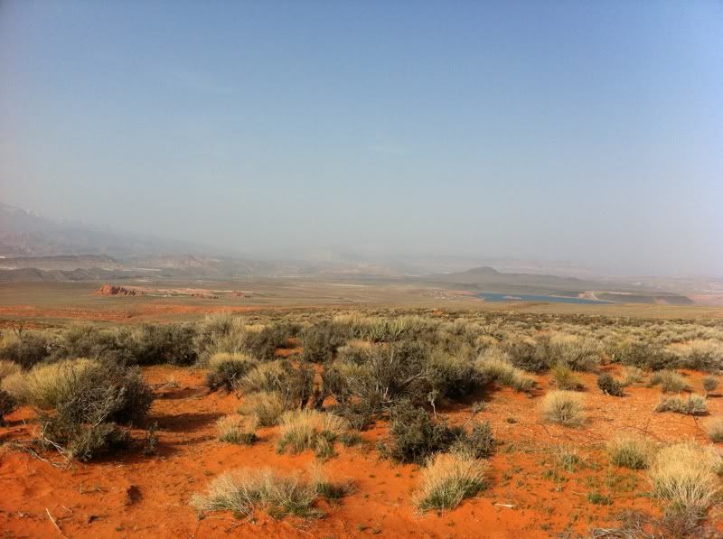
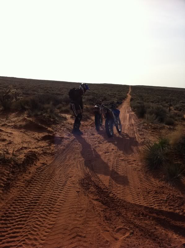
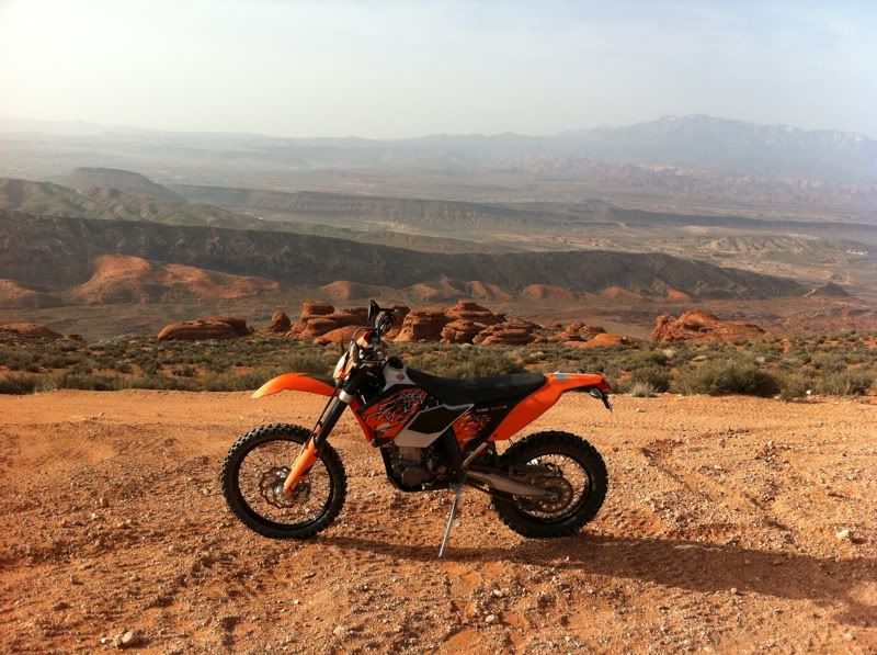
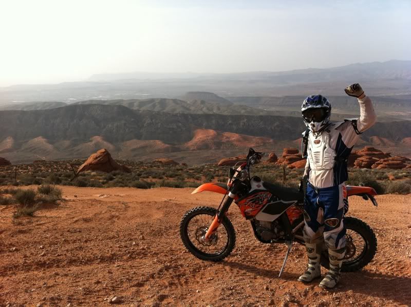
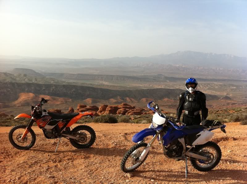
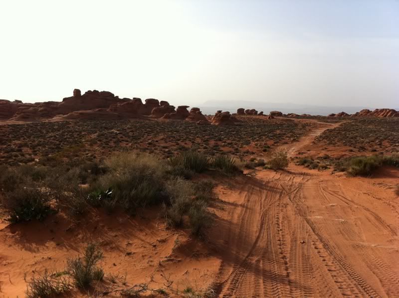
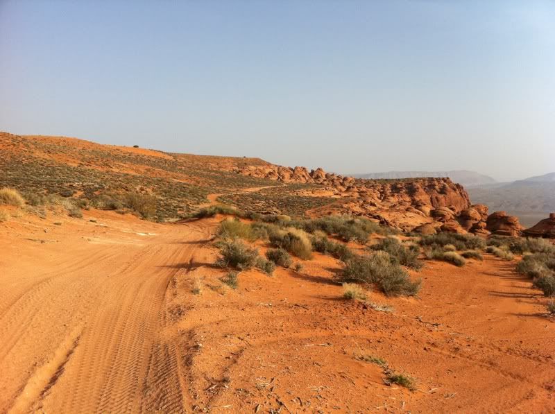
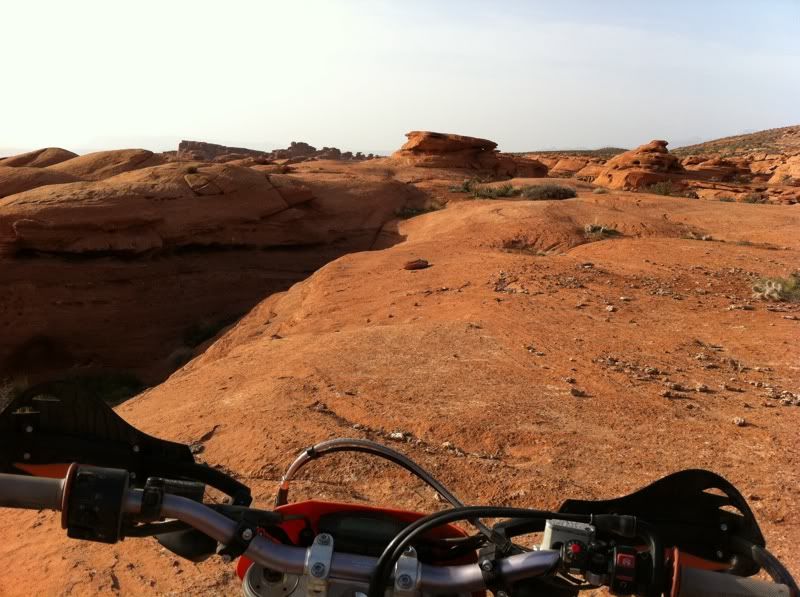
Garbanzo and I rode on Friday out at Warner Valley in St George. We had a GREAT time. Awesome weather + a great riding area + a fun riding partner + excellent views = ultimate motorcycle riding. We did have a few mechanical issues. I got a flat on the front during the morning ride and was forced to limp it back. That sucked! Garbanzo had some exhaust header issues...see another thread.
 We did a morning and an afternoon ride.
I will definitely be going back out to this area. On to the pix!

-
03-20-2011 02:11 PM # ADS
-
03-20-2011, 04:42 PM #2
I'm gonna need some info on that....
-
03-20-2011, 07:02 PM #3
 Originally Posted by double moo

Where is Warner Valley?
-
03-20-2011, 07:09 PM #4It's east of the in-n-out in washinton. @Garbanzo might be able to post a map. He has our tracks on his phone too. Originally Posted by moab mark
-
03-20-2011, 07:24 PM #5
Sounds like it is out by Washington Dam?
-
03-20-2011, 09:47 PM #6
Warner Valley Map
This is the area we rode in Warner Valley.
Viewing on a mobile device? Click this link to open the map: http://maps.google.com/maps/ms?hq=http:%2F%2Fmaps.google.com%2Fhelp%2Fmaps%2Ftour%2Fmapleft.kml&ie=UTF8&hl=en&msa=0&msid=212835560203901410014.00049ecba281ee96c18d8&ll=37.085072,-113.453401&spn=0.071757,0.169086&t=h&z=13 I just dropped by to see what condition my condition is in.
-
03-21-2011, 07:06 AM #7
Very nice pix and trip report!
-
03-21-2011, 09:58 AM #8
Awesome. I feel bad that I missed it. We usually park farther north behind washington where the little dirt road comes thru the hill. I can see from your map that you fuys turned back up on the slickrock at the top. There is a good trail that goes all the way around and back to the valley had you kept going.You can then follow a pretty sweet, whopped out trail along the base of the cliff all the way back to a smaller set of dunes.
Looks like you guys had fun. Too bad about all the bike issues. We'll hook up next time for sure.beefcake. BEEFCAKE!
-
03-22-2011, 07:17 AM #9
Next time, I think we'll start where you park on the north end. We want to make that loop along the East ridge from the North end of the Valley to the South end. There is also a Canyon as you're heading east up the North Side of the ridge. It heads East towards Sand Hollow. We want to try that next time as well. Go in the summer and take a swimsuit!!
 I just dropped by to see what condition my condition is in.
-
03-22-2011, 08:59 AM #10
Garbanzo,
Do you know the name of the road that takes you in on the South end?
Mark
-
03-22-2011, 03:26 PM #11
It's called Warner valley Road and it comes off of the Washington Fields Road. When we go to the south end we turn off of River road at the veterinarian center and follow 2450 south to 3000 east then 3650 south to the washington fields road.
beefcake. BEEFCAKE!
-
03-22-2011, 07:49 PM #12
Nelsonccc has it right. Here is more detail if you need it. Here is a map of the route I take from Telegraph Rd in Washington. It's pretty easy. In fact, If you stay on 300E (turns into Washington Fields) going South and stay on it all the way out, you'll hit a T in the road. Turn left, right, left, right and left. Simple!! You'll see the sign on your last turn that shows Warner Valley road. You get to the top of the hill and it puts you on a road that parallels the West side of the valley from that point going South. I just park somewhere at the top of the hill (there are plenty of areas, mostly shooting areas) and go for it!!. I hope that helps.
Viewing on a mobile device? Click this link to open the map: http://maps.google.com/maps?f=d&source=s_d&saddr=300+E+Telegraph+St,+Washington,+Utah+84780&daddr=Warner+Valley+Road,+Washington,+UT&hl=en&geocode=FfyPNgIdfA08-Sl3soUov1vKgDFHq4D25K8Few%3BFat1NQIdjXk8-SnPInzMylDKgDGZMwvA2rrwOA&mra=pd&sll=37.098727,-113.486243&sspn=0.099812,0.264187&ie=UTF8&ll=37.067232,-113.438988&spn=0.199707,0.528374&t=h&z=12 I just dropped by to see what condition my condition is in.


 Reply With Quote


Similar Threads
-
[Trip Report] Pine Valley Mountains - South Valley via Whipple
By Garrett1104 in forum Backpacking & CampingReplies: 11Last Post: 06-29-2011, 05:49 PM -
[Trip Report] Warner Valley, Toroweap, Silver Reef
By Udink in forum Offroad 4x4, Side by Side and ATVReplies: 7Last Post: 06-06-2011, 07:55 PM -
Pop Warner Parents Brawl
By DiscGo in forum General DiscussionReplies: 13Last Post: 03-08-2007, 08:01 PM -
Death Valley, FYI
By Rev. Coyote in forum General DiscussionReplies: 10Last Post: 02-15-2007, 09:26 PM
