

Results 1 to 9 of 9
Thread: Capitol Reef Area
-
01-23-2011, 06:50 PM #1
Capitol Reef Area
I hit up the Capitol Reef area for the first time this weekend. I did a long loop around and through the park, starting out southbound on the Notom-Bullfrog Road, then west on the Burr Trail to Boulder, then north on UT-12 to Torrey, and finally back on UT-24 east toward Hanksville. It was just over 400 miles round-trip from home, and I spent about 13.5 hours on the road. It was basically an exploratory trip, preparing for a multi-day trip later in the year.
http://udink.org/geo/CapitolReefArea.kmz
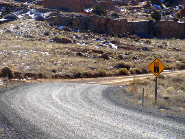
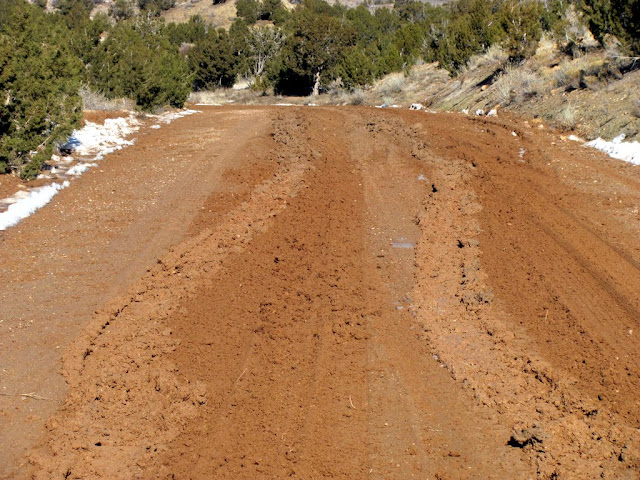
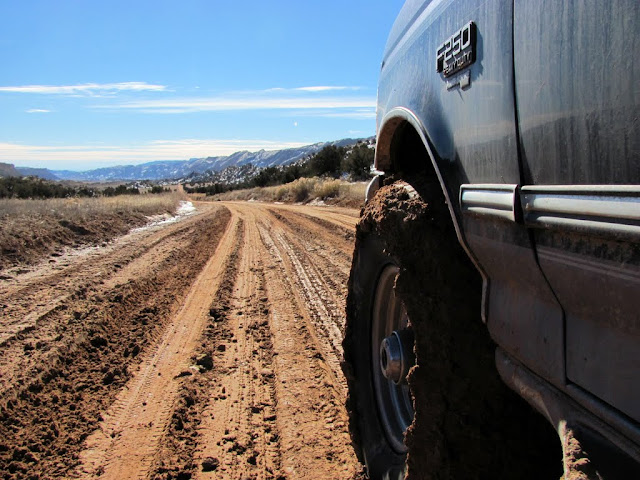
It's been a very long time since I've been as far south as Hanksville, and I'd never actually been west of there. I topped off my fuel in Hanksville and headed west on UT-24, then south on the Notom-Bullfrog Road. I stopped at Notom, then stopped to find a geocache before eventually entering Capitol Reef National Park. Up until that point the roads were nice, but once I got near Bitter Creek Divide, there were some fairly muddy spots all the way to the Burr Trail junction.
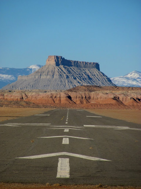
Hanksville airport with Factory Butte in the distance
Eastern park boundary on UT-24
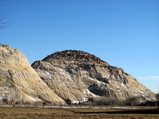
Notom with Capitol Reef rising up behind it
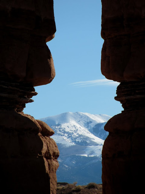
Mt. Ellen viewed between some Entrada Sandstone formations
End of the pavement at the Wayne-Garfield county line
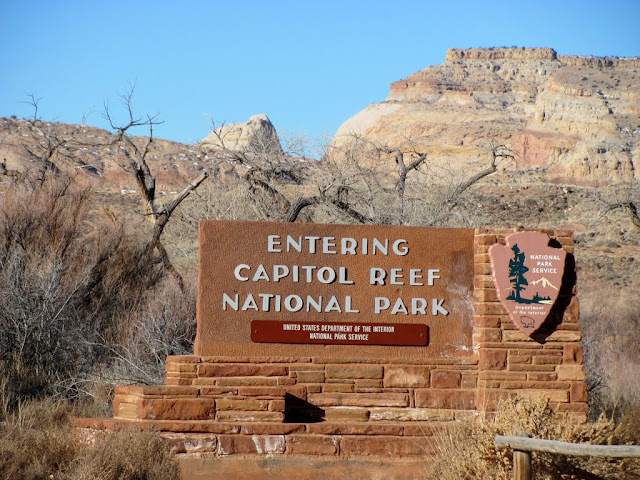
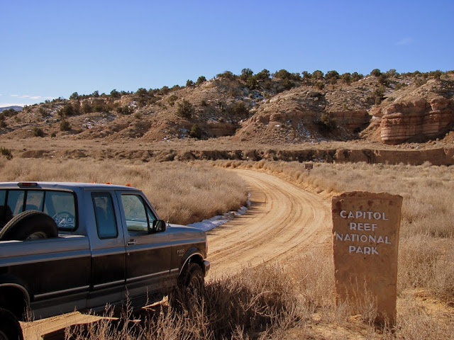
Park boundary
Mud on the Notom-Bullfrog Road
A little mud on the tires
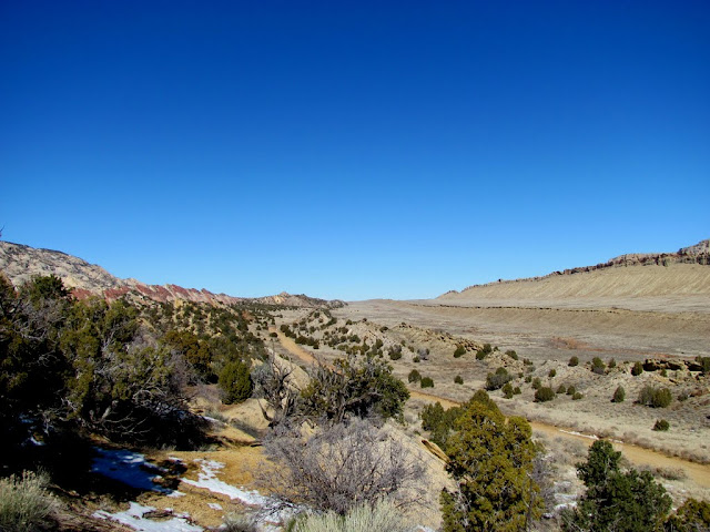
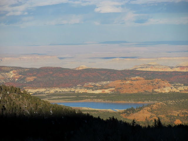
Valley east of Capitol Reef
Mt. Pennell

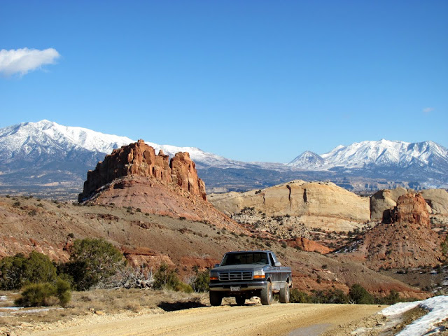
Notom-Bullfrog Road

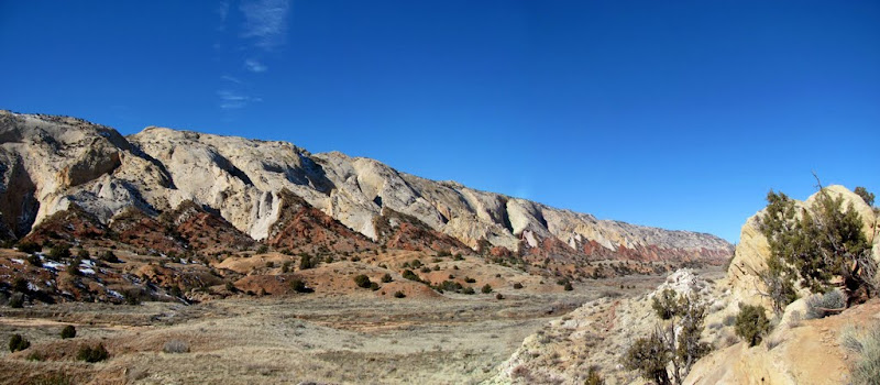
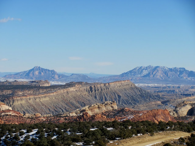
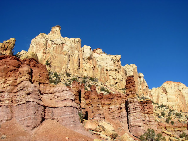
Capitol Reef pano
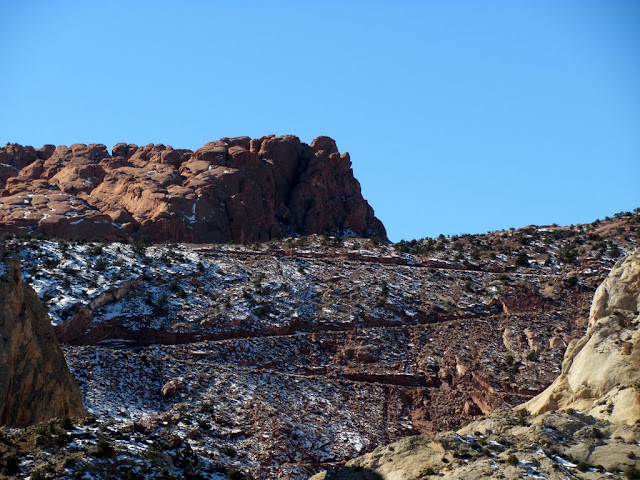
I wasn't sure what to expect of the Burr Trail switchbacks. I'd seen photos of the switchbacks and they didn't look scary, but with all the mud I'd encountered and snow that I'd seen, I was wary. Except for a few small snowy/icy spots on the southern hairpin turns though, it wasn't bad, and I made it up easily in 2WD (still got the blood pumping, though). At the top of the switchbacks, I tried going to the picnic area, then on the side road to Upper Muley Twist Canyon, but both roads were pretty muddy and I didn't want to tear them up. Instead, I stuck to the main road and found a spot to eat lunch, then headed west out of the park and into GSENM. I cruised across to Long Canyon and made my way to Boulder, then headed north on UT-12.
Burr Trail switchbacks
Looking down from near the top of the switchbacks
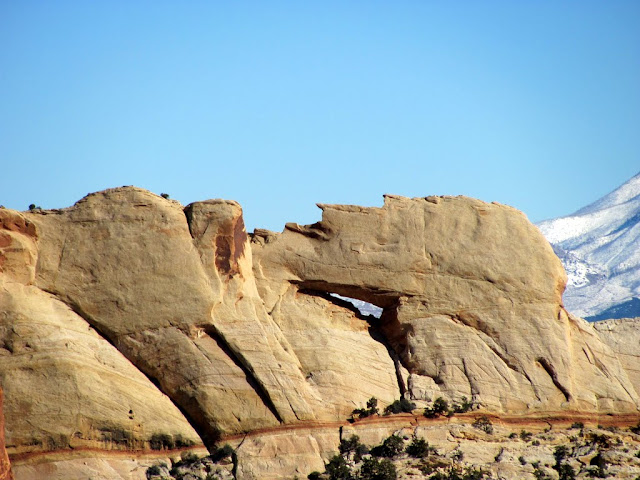
Peek-a-boo Rock
The Burr Trail west of Upper Muley Twist Canyon
Swap Mesa with the Little Rockies in the distance (Mt. Holmes on the left, Mt. Ellsworth right)
View from the Long Canyon overlook
Formations in Long Canyon
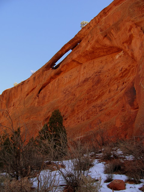
Natural arch in Long Canyon
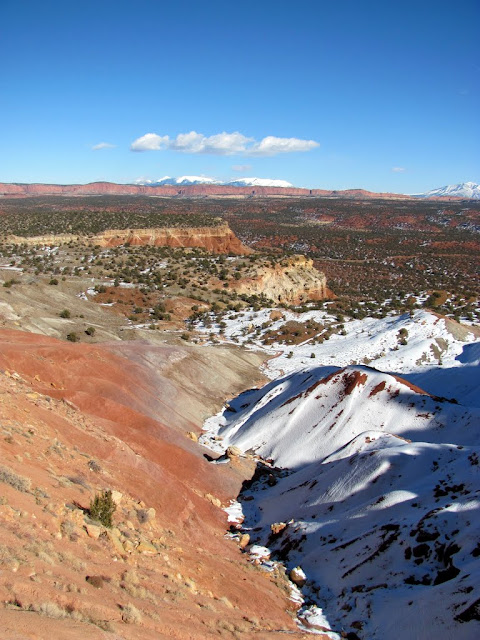
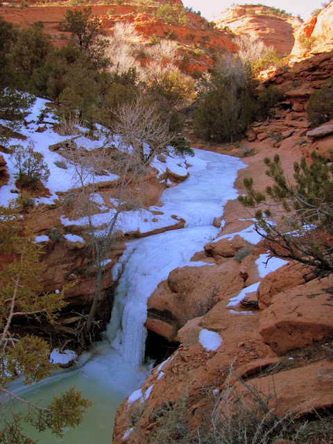
Frozen spring near the Gulch
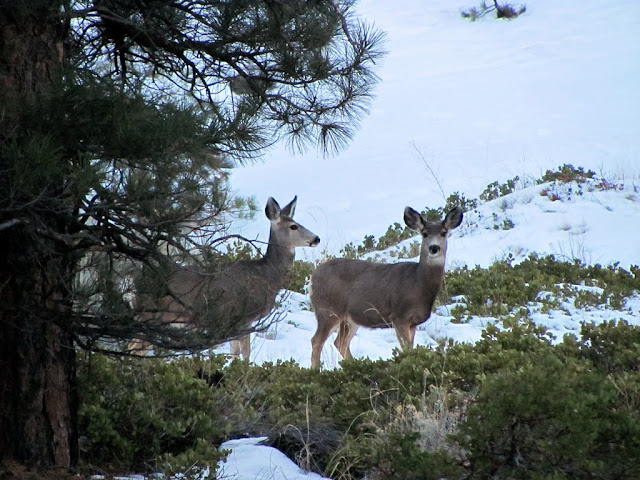
Deer near Boulder
Sugarloaf near Boulder
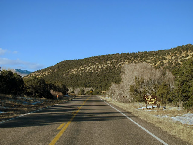
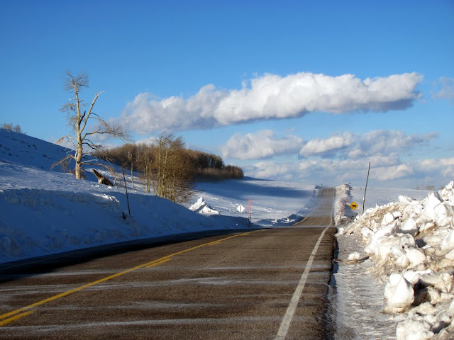
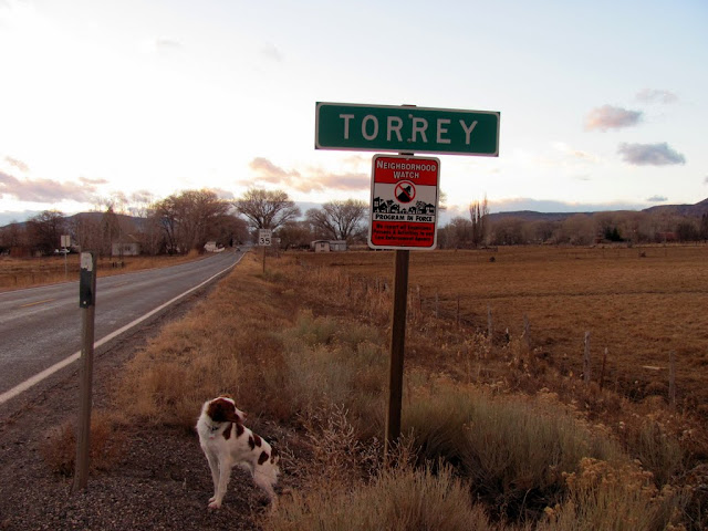
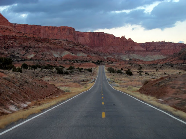
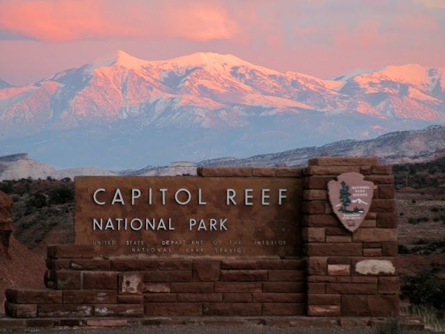
There were some overlooks on UT-12 between Boulder and Torrey that afforded gorgeous views east into Capitol Reef, especially since the sun was getting low in the sky. By the time I got to Torrey, the sun had set and I stopped taking so many photos, but I did snap a few on my way through Capitol Reef. When I reached the park boundary once again, the sun was still shining on the Henry Mountains, and I got a few very nice shots. Once I reached the west end of the park it was almost fully dark, and the rest of the drive home was spent beginning to plan my next trip to the area.
Entering Dixie NF
View from UT-12
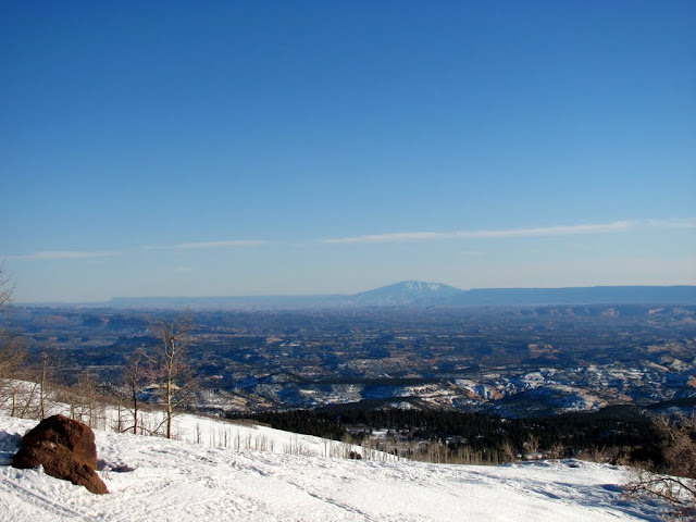
The summit on UT-12 between Boulder and Torrey
Lower Bown's Reservoir
Capitol Reef
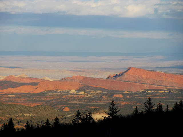
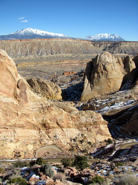
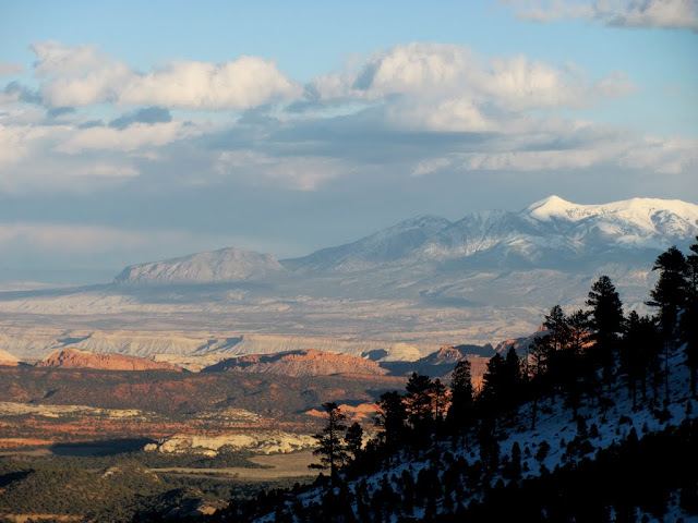
The Henrys
Cap Reef and the Henrys
Torrey and Torrey
UT-24 between Torrey and Capitol Reef
Entering Capitol Reef again
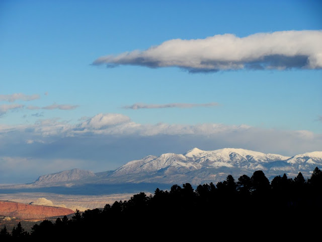
Henry Mountains

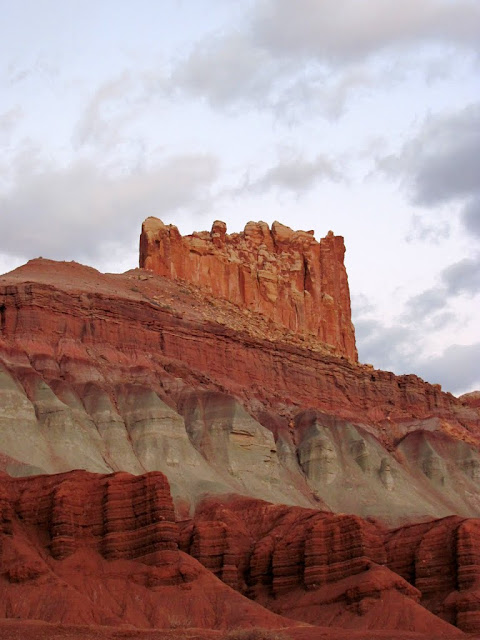
The Castle
Factory Butte
http://picasaweb.google.com/Dennis.U...pitolReefArea#
My blog entry (lotsa words 'n stuff):
http://udink.org/2011/01/23/capitol-reef-area/
-
01-23-2011 06:50 PM # ADS
-
01-23-2011, 06:56 PM #2
Looks like a fun day :)
-
01-23-2011, 07:16 PM #3Bogley BigShot


- Join Date
- May 2007
- Location
- We're all here, because we ain't all there.
- Posts
- 19,424
Nice TR Dennis, some of my old stomping grounds. Was there any activity at the Sandy Ranch?
I used to have a connection there and spent a few winter nights in their bunkhouse.
-
01-23-2011, 07:23 PM #4
-
01-23-2011, 10:25 PM #5
 thanks for sharing
livinutoutdoors.com
thanks for sharing
livinutoutdoors.com
Don't talk unless you can improve the silence.
The trout do not rise in the cemetery, so you better do your fishing while you are still alive. SGH
-
01-24-2011, 08:02 AM #6
Sweet pics man. That road looks nasty!
-
01-24-2011, 06:09 PM #7
Nice peektures man.

-
01-27-2011, 08:51 PM #8
Nice trip.
-
01-27-2011, 10:43 PM #9
Brings back some memories. I need to get back out that way. Thanks for sharing!
It is good that warriors such as we meet in the struggle of life... or death. It shall be life. - Ten Bears, "The Outlaw Josie Wales"


 Reply With Quote


Similar Threads
-
Biking around Capitol Reef
By StudChild in forum Mountain Biking & CyclingReplies: 1Last Post: 03-29-2010, 06:13 PM -
where to camp near Capitol Reef?
By Stick in forum CanyoneeringReplies: 3Last Post: 09-19-2008, 02:41 PM -
Capitol Reef Suggestions
By DiscGo in forum General DiscussionReplies: 4Last Post: 09-19-2008, 09:14 AM -
Capitol Reef area
By PMGuernsey in forum CanyoneeringReplies: 6Last Post: 03-17-2008, 02:21 PM -
Capitol Reef pics 6/7
By Shan in forum Hiking, Scrambling & Peak BaggingReplies: 20Last Post: 06-13-2006, 06:51 AM
