

Results 1 to 5 of 5
-
10-18-2010, 11:50 AM #1
Mary's Nipple (Musinia Peak), Etc.
I've been wanting to hike Mary's Nipple (also known as Musinia Peak) for a while now--I kept seeing it from the US-89 corridor in northern Sevier and southern Sanpete counties, staring down prominently from the Wasatch Plateau, for the past couple of years. A friend and I finally decided to go there this past weekend before it got snowed-in. While we were at it, we drove around and visited several lakes and reservoirs in the area and enjoyed the fall colors.
http://castlecountry.org/geo/MarysNippleEtc.kmz
We got an early start because my friend got off work from the mine near Scofield at 6:00AM, and we reached the starting point for the hike at around 9:15. It was only 1.2 miles from there to the peak, but with 1,600' of elevation gain. It started out moderately steep, climbing through stands of aspen and a few open areas. About halfway to the peak it got extremely steep, and we found a gully to scramble up that made it a bit easier. There was another section of moderately steep ground, then one last very steep scramble to the top. It took two hours to reach the top, and we spent about 30 minutes up there taking photos. It took another hour to hike back to the truck.
View of Mary's Nipple at sunrise, taken from Twelvemile Canyon

Another view of the peak from Skyline Drive
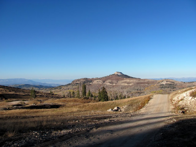
Mary's Nipple from the start of our hike

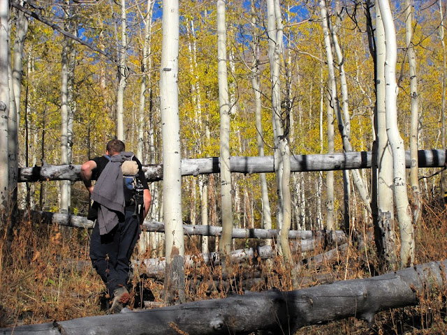
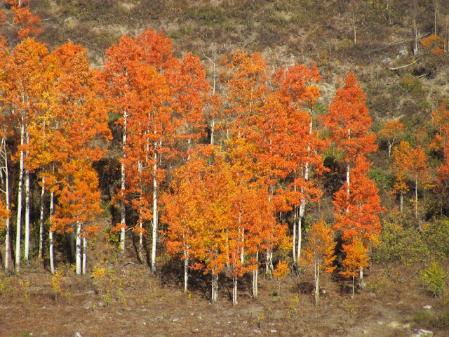
Hiking through the aspen
Nearing the really steep part

The gully

View north from the base of the steep part of the hike

View east toward White mountain

The last steep part before reaching the peak

View west from the peak

View northwest off the peak, looking down into Twelvemile Canyon

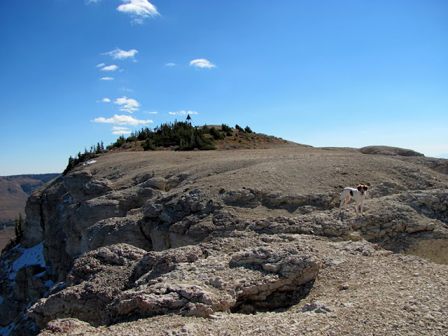
View east toward the summit
Panorama looking west

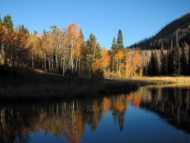
After the hike, we just puttered around, finding a few geocaches and enjoying the scenery. We drove east off of Skyline Drive and descended down toward Henningson Reservoir, curving north around Block Mountain and eventually rejoining Skyline. We ate lunch at the campground at Twelvemile Flat, then drove west and then south along a very rough road around the base of Mt. Baldy. We went to Deep Lake and the WPA Ponds, then headed back north across Twelvemile Canyon and hit the South Fork of Sixmile Canyon, checking out the Sixmile Ponds. We called it a day there and headed home back down through Twelvemile Canyon.
A small pond near the head of Beaver Creek
Colorful aspens
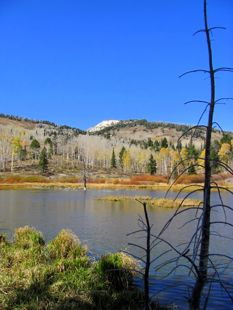
Upper WPA Pond and Mt. Baldy

Deep Lake

Upper Sixmile Pond
South Fork of Sixmile Canyon

Sunset on Mary's Nipple, taken from Twelvemile Canyon

http://picasaweb.google.com/Dennis.U...arySNippleEtc#
-
10-18-2010 11:50 AM # ADS
-
10-18-2010, 01:09 PM #2
as i drove by there along i70 sunday i thought that would be a fun peak to hike. the colors in the fishlake nf were just fantastic ! looks like a great day.
signature
-
10-18-2010, 01:36 PM #3
Excellent photos. Looks like an awesome peak, err, nipple to climb.
-
10-18-2010, 03:52 PM #4Bogley BigShot


- Join Date
- May 2007
- Location
- We're all here, because we ain't all there.
- Posts
- 19,424
I'm thinking that all the pioneer women were named Mary or Molly.

-
10-18-2010, 09:07 PM #5
Mary's nipple-- She's a butte!


 Reply With Quote


Similar Threads
-
[Trip Report] Mary's, Blue and Grassy
By LOAH in forum FishingReplies: 0Last Post: 08-02-2010, 09:49 AM -
[News] Marys Nipple? Shag Hollow?
By Iceaxe in forum Hiking, Scrambling & Peak BaggingReplies: 5Last Post: 02-10-2009, 10:54 AM -
[Trip Report] Peak Baggin' in Zion with Courtney - Destination Peak
By tanya in forum Hiking, Scrambling & Peak BaggingReplies: 24Last Post: 12-31-2007, 03:46 PM -
[Trip Report] Francis Peak/Bountiful Peak
By shlingdawg in forum Offroad 4x4, Side by Side and ATVReplies: 1Last Post: 09-20-2005, 04:46 PM
