Results 1 to 6 of 6
-
09-27-2010, 10:28 AM #1
Logan Canyon Sampler (for lack of a better name....)
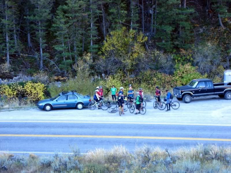
We strung together a bunch of singletrack segments to make a large point to point ride in Logan Canyon. We started at Tony Grove Lake and ended up at the mouth of Logan Canyon 37 miles later. My Garmin told me that we had accumulated 6000' vertical feet of climbing and just over 9000' feet of descending. It was a long, tough day, but well worth it in the end. I of course forgot my camera, but MtnBkr had one. All the pictures below are his (posted with permission).
Trails we rode in order:
1.) Blind Hollow
2.) 1.5 miles on Temple Fork Jeep Road
3.) Temple Fork Sawmill
4.) Another 1.5 miles on Temple Fork Jeep Road
5.) Willow Creek
6.) Rick's Canyon
7.) 9 miles of jeep road
8.) Spring Hollow
9.) River Trail
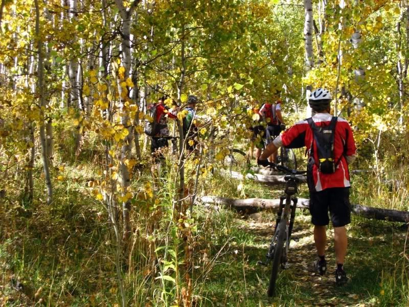
Bryce showing how to ride singletrack with one hand...(top of Blind Hollow)
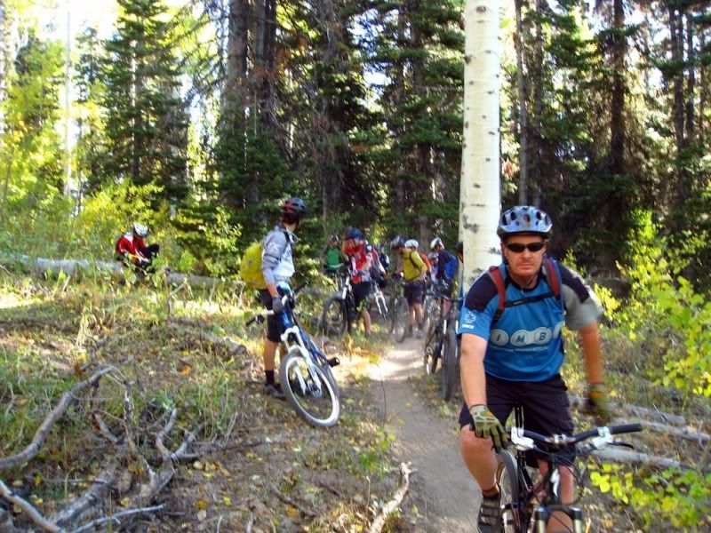
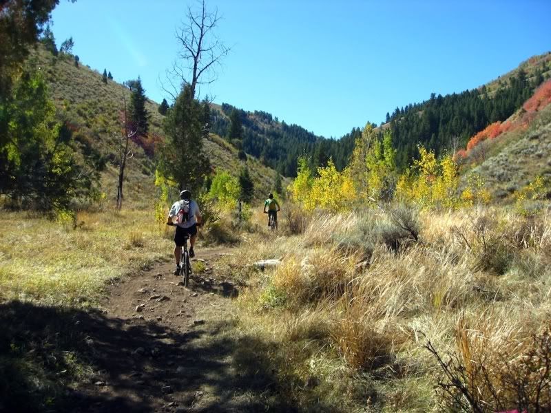
Blind Hollow Singletrack
First Regroup point at Logan Canyon highway
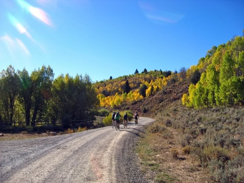
Temple Fork Road (easy climb)
Temple Fork Sawmill Trail (great beginner singletrack, mellow climb)


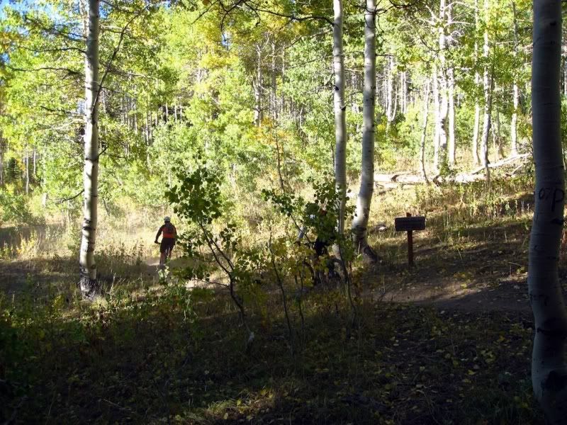
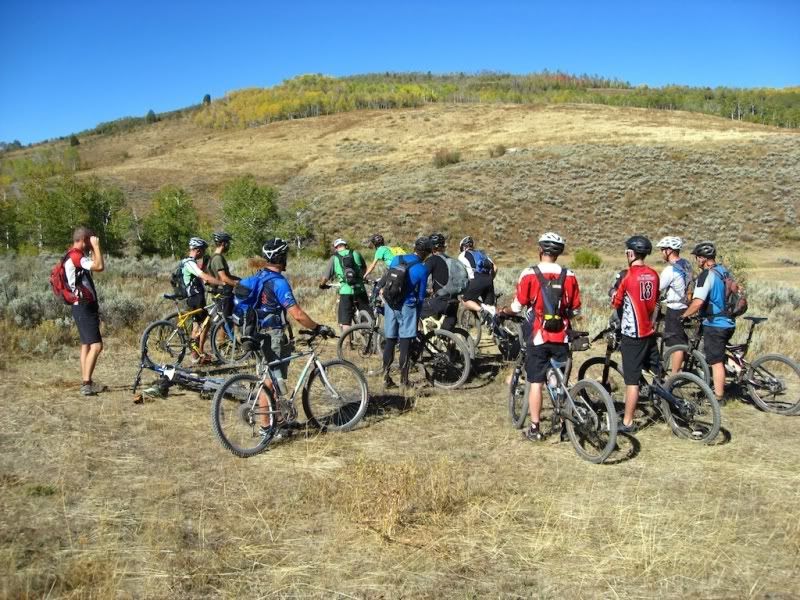
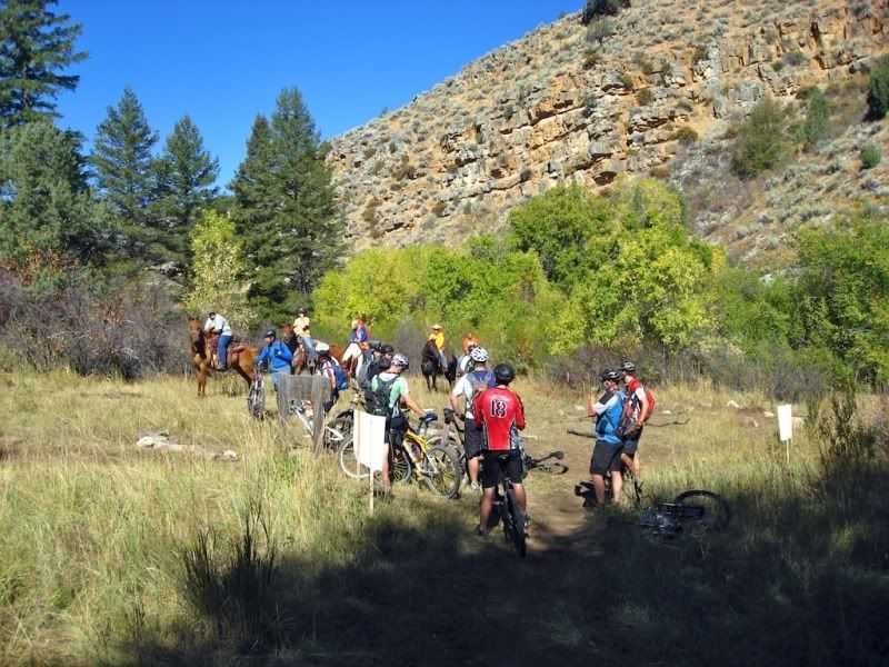
Regroup at the top of Willow Creek
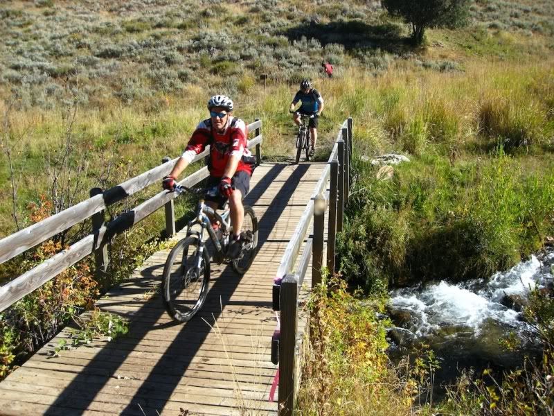
"Nice Hike" on Willow Creek, the other side of the creek has no logs....
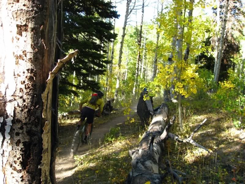
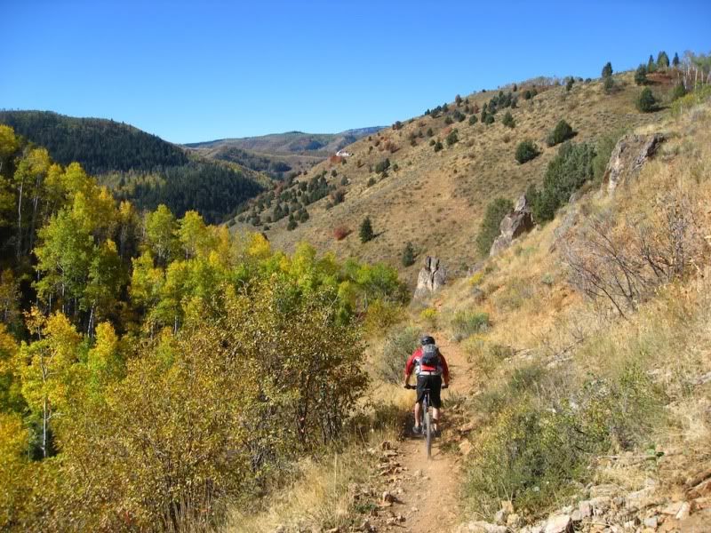
Willow Creek singeltrack, very fun descent, mildly technical in places
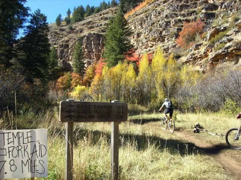
Rick's Canyon - Willow Creek Junction
Rick's Canyon - difficult, technical climb
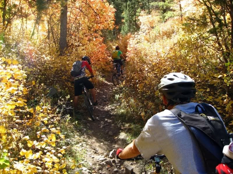
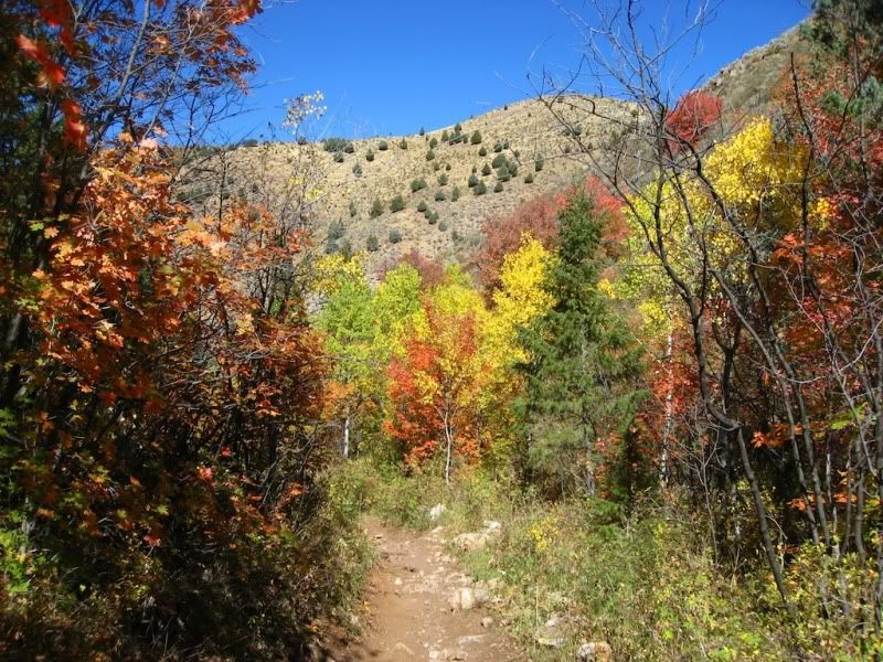
Fall Colors
The camera didn't come out for the 9 mile jeep road slog followed by the AWESOME singletrack descent of Spring Hollow.
-
09-27-2010 10:28 AM # ADS
-
09-27-2010, 10:50 AM #2
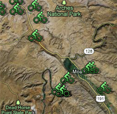
Let's try this map thing one more time.....
Viewing on a mobile device? Click this link to open the map: http://maps.google.com/maps/mm?ie=UTF8&hl=en&ll=41.803042,-111.668506&spn=0.20858,0.445976&t=h&z=12
-
09-27-2010, 01:19 PM #3
That's awesome.

On the map, your link is either just showing the area, or maybe it's a private map?
This is the link you're inserting in the tags, if you can view your waypoints when clicking this link, try signing out of your google account and see if they're there again:
http://maps.google.com/maps/mm?ie=UT...45976&t=h&z=12
-
09-27-2010, 01:21 PM #4
You guys are friggin' animals! Nice report and photos.

-
10-04-2010, 04:15 PM #5
very nice report, looks like a hell of a ride! Some great trails up there in Logan, need to get up there more next summer.

Two wheels are better than four, keep the rubber side down.
-
10-05-2010, 09:20 AM #6
Sorry I missed it but if I had things to do over, I'd still pick canyoneering in the Swell.

You should've listened to Jim B's whining on last Wednesday's ride. You'd a thought he was some sort of pantywaist. seen all good people turn their heads each day so satisfied I'm on my way...


 Reply With Quote


Similar Threads
-
Logan Canyon Sampler
By neilether in forum Mountain Biking & CyclingReplies: 15Last Post: 09-24-2010, 02:41 PM -
Logan Canyon?
By Sombeech in forum Boating, Rafting, Kayak and CanoeReplies: 3Last Post: 06-11-2010, 12:41 PM -
[Conditions] Logan Canyon Trails
By accadacca in forum Mountain Biking & CyclingReplies: 5Last Post: 06-03-2010, 12:08 PM -
Logan canyon Monday
By packfish in forum Skiing, Snowboard, XC and SnowshoeingReplies: 0Last Post: 03-27-2009, 12:19 PM -
Logan Canyon Trails
By accadacca in forum Mountain Biking & CyclingReplies: 1Last Post: 08-29-2005, 11:29 AM