

Results 1 to 11 of 11
-
09-15-2010, 10:41 AM #1
Castle Valley-Skyline Loop, 3 days and 321 miles
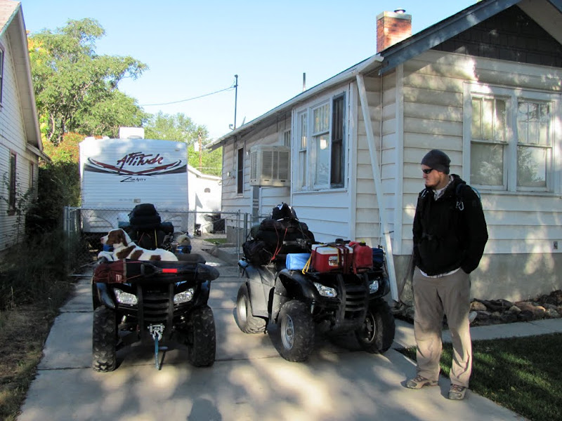
My friend Chris and I left my house in Price on Thursday morning with ATVs loaded up with camping gear and food/water for three days. The plan was to travel through the northwestern San Rafael Swell to Ferron, then up Ferron Canyon to the Black Dragon Trail and to Joe's Valley, where we would camp near Grassy Lake for the first night. The following day we would continue up to Skyline Drive and follow it north, dropping into Mt. Pleasant for fuel and spending the night at some undetermined spot along Skyline. On the third day we'd planned on following Skyline Drive north all the way to the old Tucker rest area on US-6 in Spanish Fork Canyon, then turning up the Starvation road and going to Scofield, then over the mountains into the Consumers area, though Helper, and back to Price.
http://castlecountry.org/geo/CastleV...kylineLoop.kmz
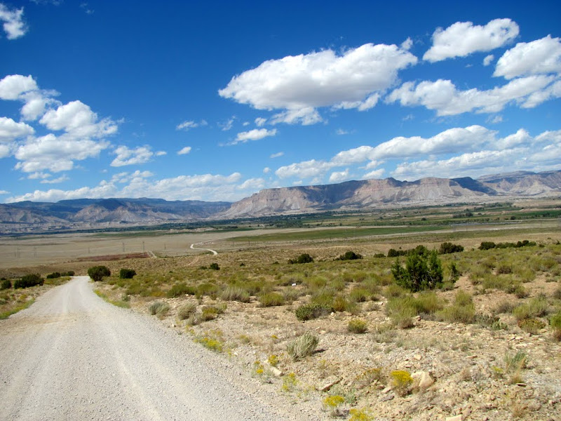
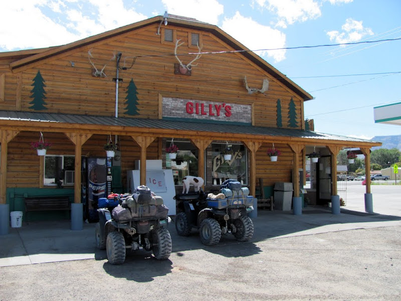
The day started out windy and continued that way until after nightfall. We made good time on the gravel roads out of Price and into Wellington, crossed US-6 in Wellington and took Farnham Road toward Mounds at the northern end of the Swell. From there it was nice gravel roads through the Swell all the way to Buckhorn Well, where we took the Fuller Bottom turnoff and crossed the San Rafael River. After the river crossing, we followed a rougher two-track road around the Little Wedge just north of North Salt Wash and Sid's Mountain. We met up with the Dutch Flat road leading into Ferron, and my engine started sputtering about half a mile from Ferron. My fuel tank was getting low and I had to turn the fuel switch to "Reserve" in order to make it to Gilly's, where we fueled up and ate lunch at the nearby city park.
Leaving my house in Price
Gravel road between Price and Wellington

Coal Creek Road leading into Wellington
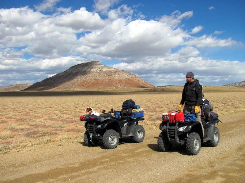
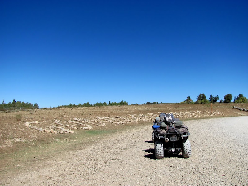
Our first views in the San Rafael Swell

Almost to Buckhorn Well
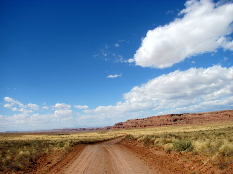
The road to Fuller Bottom
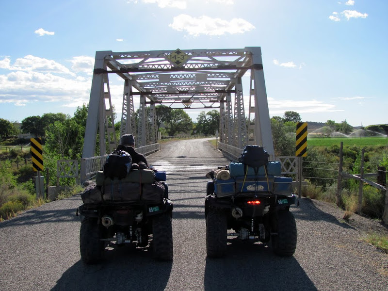
Crossing the San Rafael River
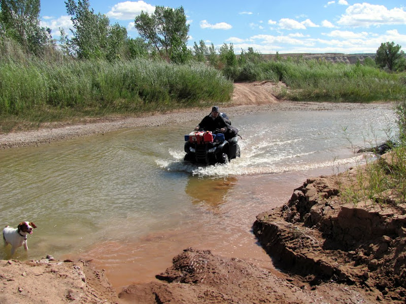
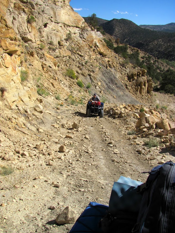
Near Sid's Mountain
Nearing Ferron
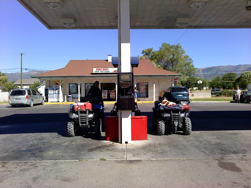
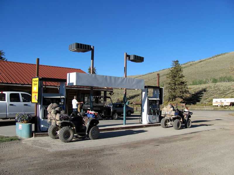
Fueling up at Gilly's

Gilly's
After lunch we passed through west Ferron, around Millsite Reservoir, and into Ferron Canyon. We turned at the Black Dragon Trail and followed it up and over to Joe's Valley Reservoir. From there we headed west up the switchbacks toward Skyline Drive, taking the turn toward Grassy Lake where we made our first night's camp. We'd traveled about 120 miles on day 1.
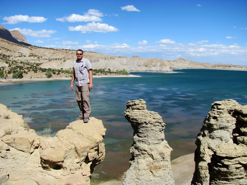
Stopped by Millsite to scramble around on some rock formations
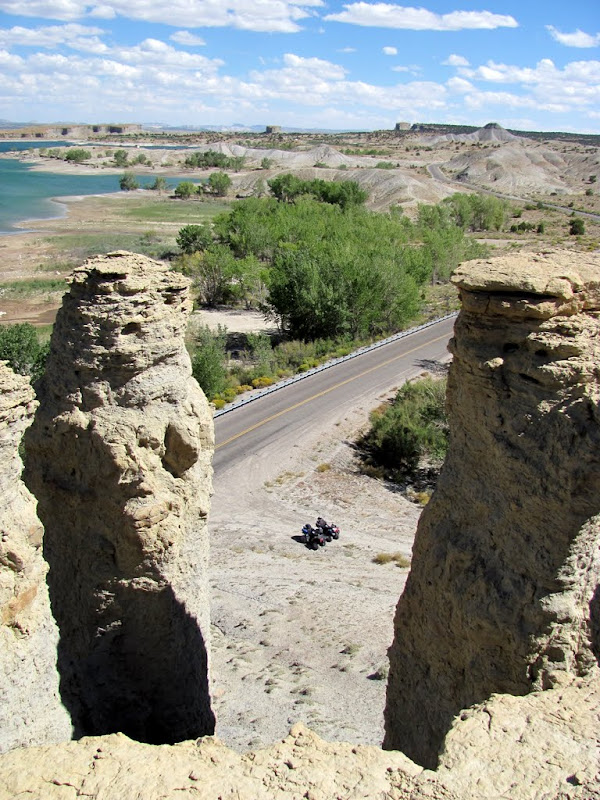
Overlooking Millsite
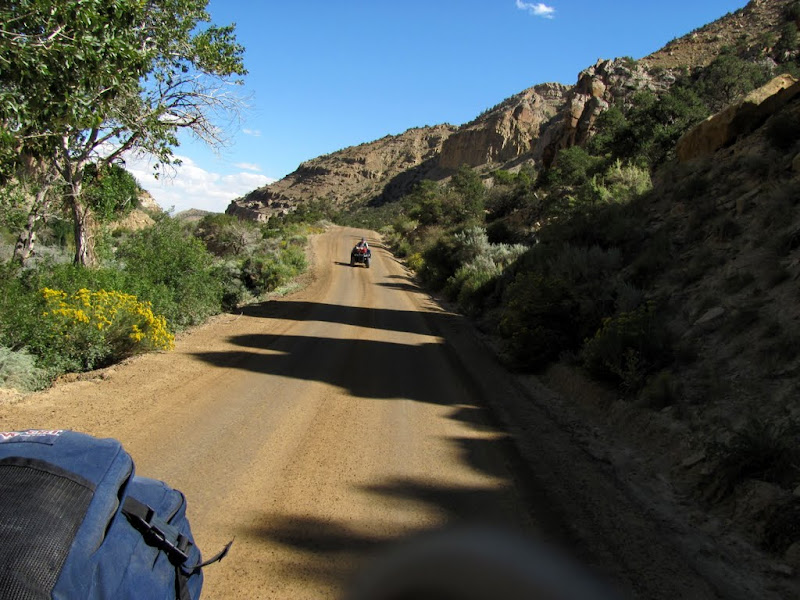
Ferron Canyon
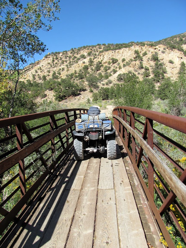
Bridge over Ferron Creek at the Black Dragon trailhead
Beginning of the Black Dragon Trail

Climbing up the initial steep portion of the trail
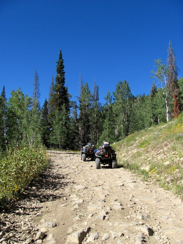
About halfway along the Black Dragon Trail to Joe's Valley
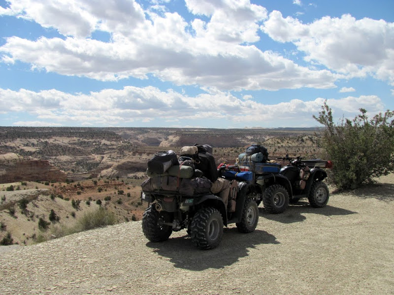
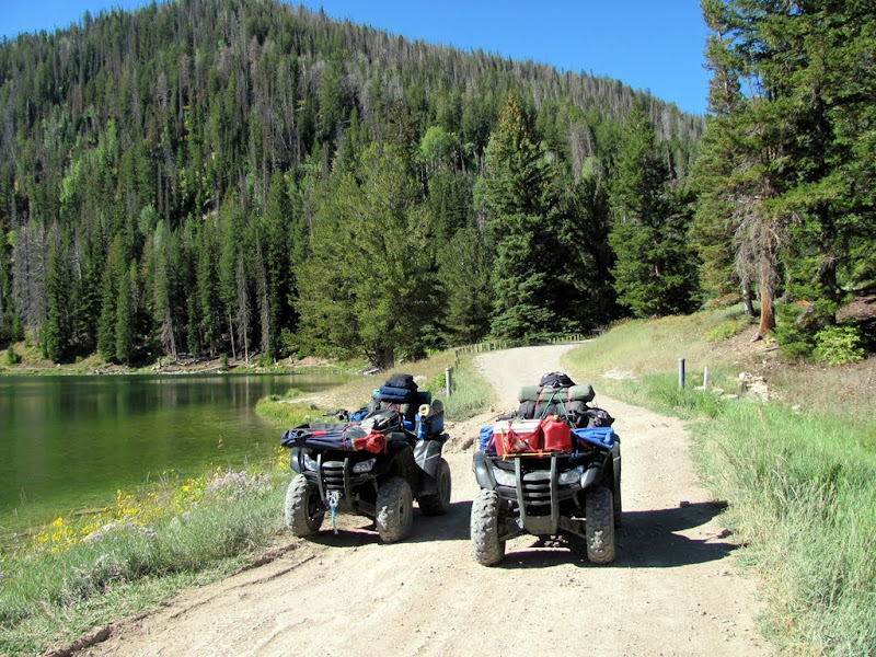
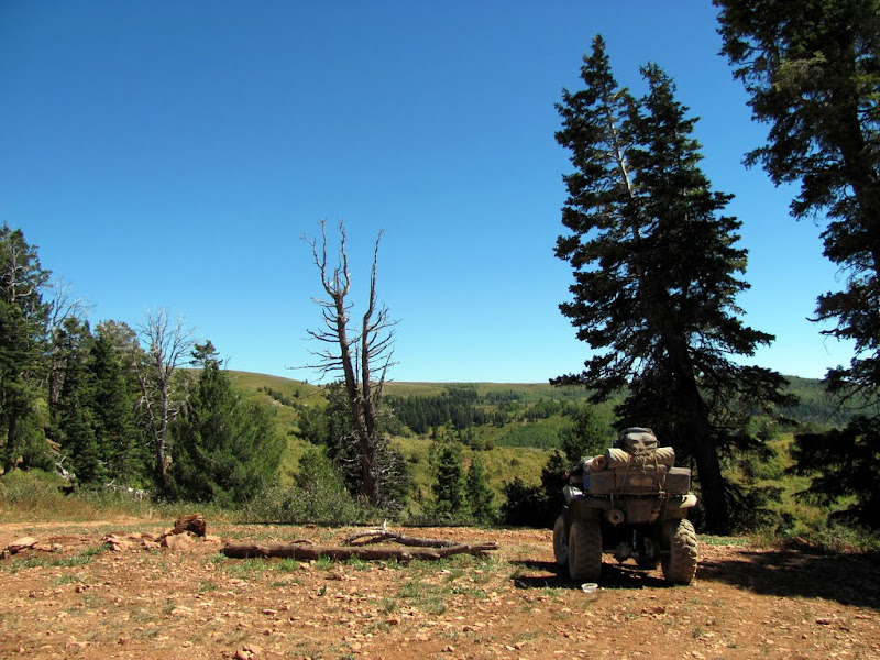
Joe's Valley Reservoir

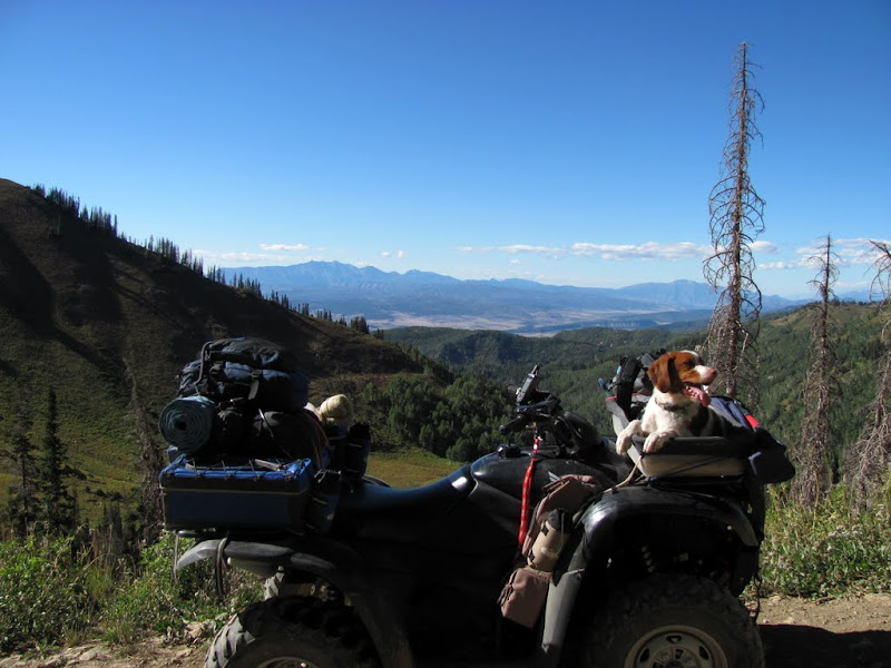
Above Joe's Valley
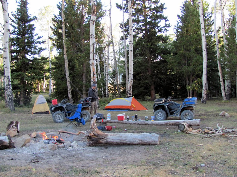
Our camp for the night
The campfire lighting up the aspens

-
09-15-2010 10:41 AM # ADS
-
09-15-2010, 10:42 AM #2
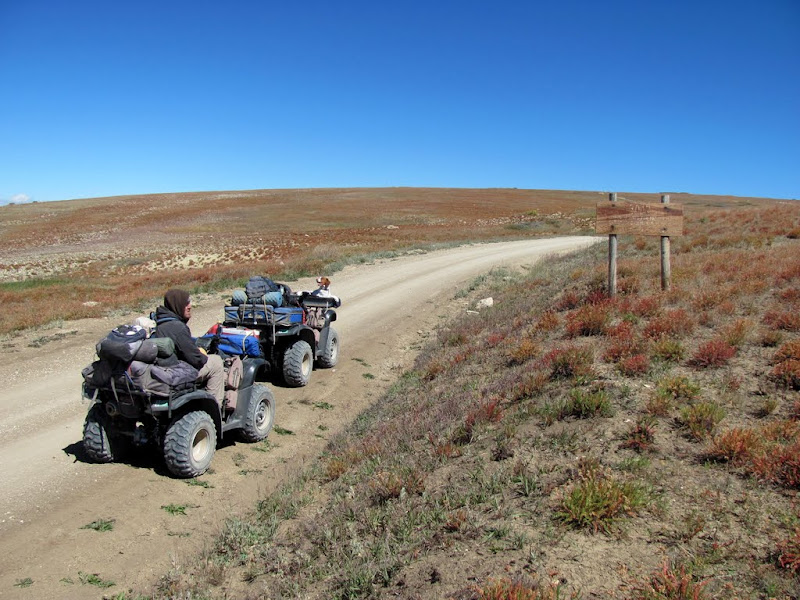
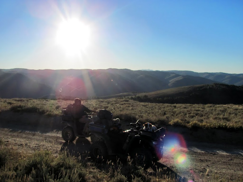
I slept poorly that night and woke up the next morning with some shoulder and arm pain that lasted until that evening. It was a rough day, with some rough roads along the way. We made it to Skyline Drive and followed it north, stopping to find some geocaches and just see the sights. The road leading down into Mt. Pleasant was pretty ugly, but we needed to fuel up there. I'm thinking now that Spring City would have been a better place for fuel. It was getting late in the day by the time we left Mt. Pleasant, and it was cold enough at over 10,000' on Skyline Drive that we didn't want to camp that high, so we high-tailed it north on Skyline until we lost some elevation. We crossed UT-31 at the top of Fairview/Huntington canyons, and followed a couple of miles of pavement on UT-264 to connect with northern Skyline Drive before finding a place to camp. Total distance for the day was about 85 miles.
Breakfast on day 2--banana bread and coffee

The frost on my seat shows how cold it was

Pete's Hole
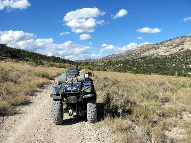
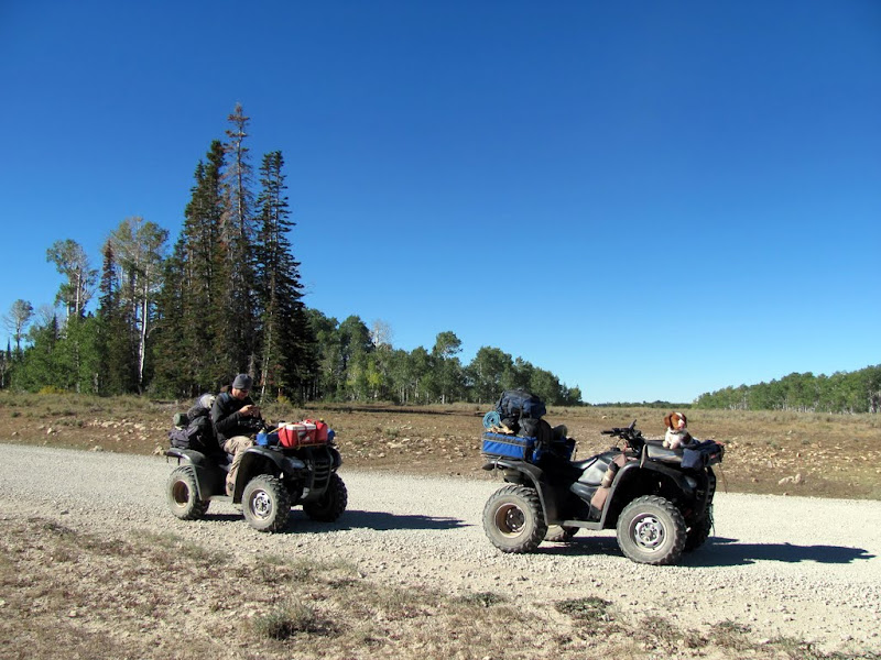
On the way to Skyline Drive
Ephraim Tunnel

Skyline Drive
Big Horseshoe panorama

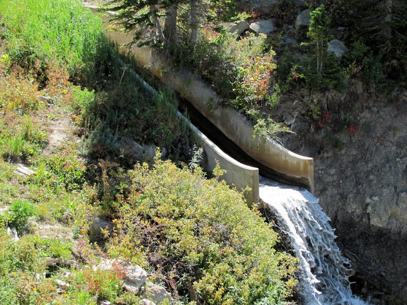
Parked near the Spring City Tunnel

Outflow from the Spring City Tunnel
Fueling up in Mt. Pleasant
Up the rocky road from Mt. Pleasant to Skyline Drive
Above Pleasant Creek Canyon
Second night's camp

After sunset

-
09-15-2010, 10:47 AM #3
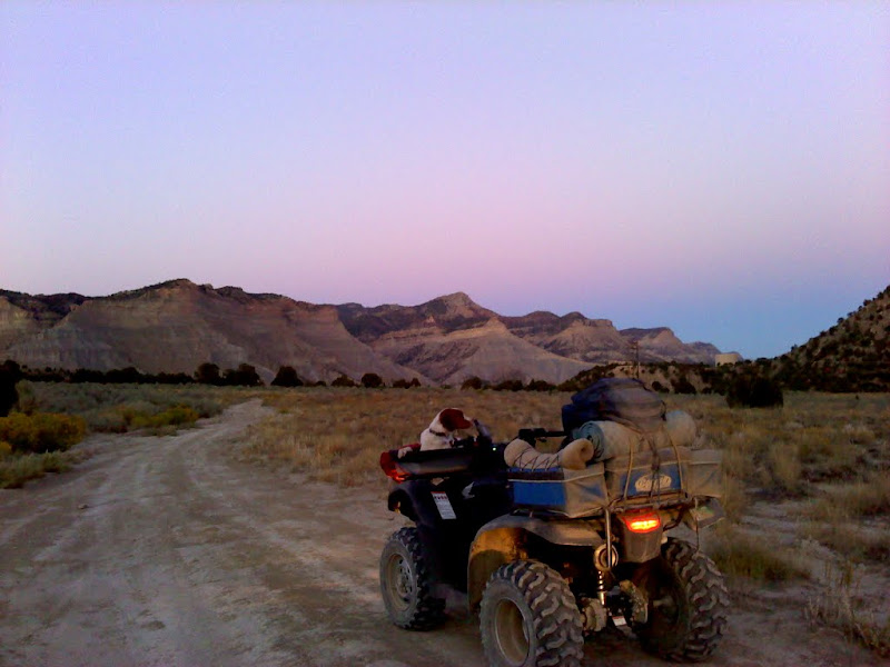
Day three started out well. My arm and shoulder were feeling better and I got a good night's sleep. We'd found plenty of firewood, so I got a fire roaring and had some coffee while Chris slept in. We didn't get rolling until about 10:00AM, and we had a lot of ground to cover before getting back to Price. We continued to follow Skyline Drive north, but took a lot of little detours throughout the day to find geocaches. We reached the old Tucker rest area on US-6 in Spanish Fork Canyon, where there used to be a dirt road curving around to the next canyon to the east, however with the recent road work on the highway, that road was gone. We had to follow the shoulder of the highway with traffic zipping past at 60+ miles per hour, but it was only for about two-tenths of a mile. We had turned south and were heading toward Scofield, and the Starvation road was pulverized to several inches of fine dust, which made for some not very fun riding. We both ran low on fuel and switched over to our reserves just before beginning the climb up to the ridge that leads to Scofield. The fuel gauge needles were on empty for the last ten miles, and we cheered as we made it to the gas station in Scofield without running out (though we had an extra 2-gallons in case we needed it).
Morning on day three--the condensation was frozen on my tent

On the road again
Along Skyline Drive, where somebody spelled out "GOD BLESS AMERICA" with rocks
Overlooking Brown's Peak, with Mt. Nebo in the background on the right

Our lunch spot
Finding a geocache near Tucker

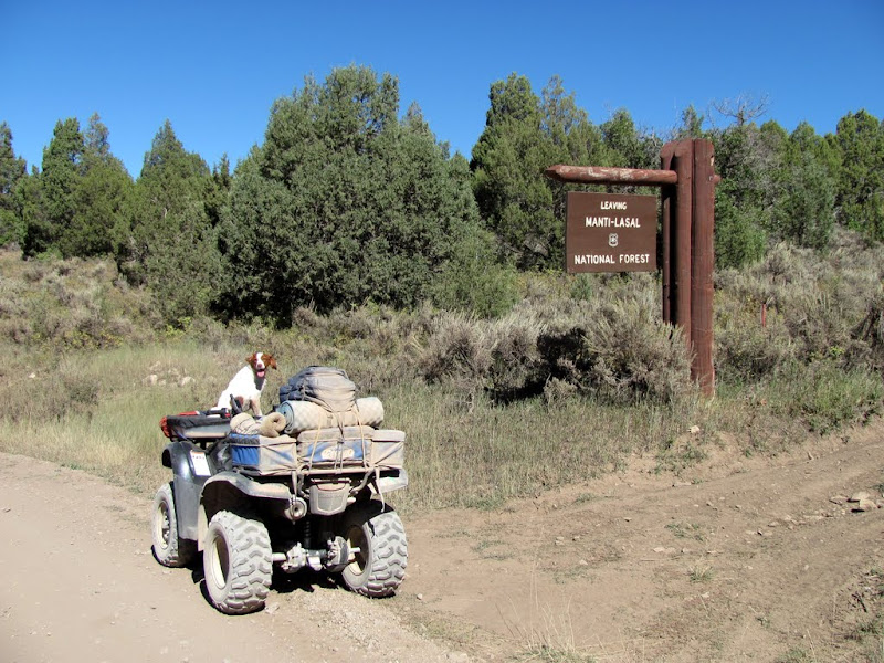
Leaving the national forest
US-6 at Tucker

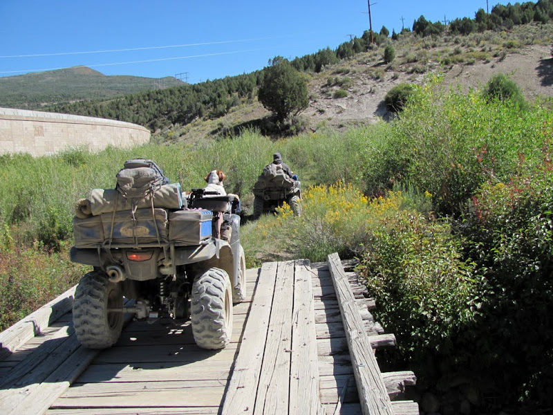
Crossing the bridge to the Tucker cemetery
Stopped here to switch over to my fuel reserve

Climbing out of Starvation Creek toward Scofield

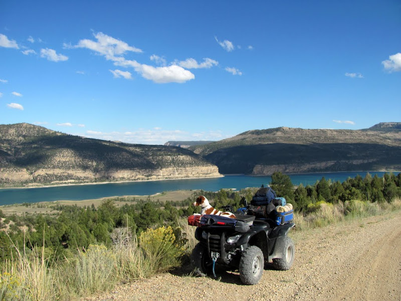
Our first view of Scofield Reservoir

Riding on "Empty"

Fueling up at the Snack & Pack in Scofield
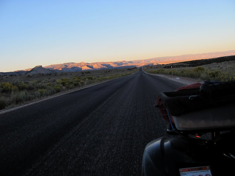
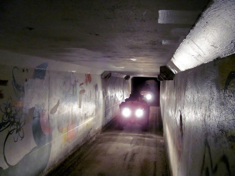
The sun was beginning to set behind the mountains while we were in Scofield. We had to follow the asphalt on UT-96 for a few miles south before reaching the dirt again near Skyline Mine. There was a coal train blocking the railroad crossing, so we followed the pavement for a bit longer until reaching the end of the tracks, then followed a gravel road back to the bottom of Broad's Canyon. We climbed up Broad's Canyon and dropped down into the Consumers area. We followed more pavement on Consumers Road before taking some dirt roads into Helper. We crossed under US-6 through the tunnel, followed the old railroad grade toward Kenilworth, then finally climbed up onto Wood Hill and then descended into Price well after dark. We'd covered about 115 miles for the day.
Going around the coal train

Gravel road paralleling the tracks

The top of Broad's Canyon
Almost to Consumers Road

Cruising along Consumers Road
Between Consumers Road and Helper

Almost to Helper
The tunnel under US-6 in Helper
After passing through Helper

Dropping down into Price, about a mile from home

All told, we covered 321 miles, found 29 geocaches, spanned an elevation gain/loss of 6,000 feet, and had the time of our lives. I'm already starting to think of ideas for my next such trip. :) If you want to read my full writeup of the trip, check it out here on my website. Here's a slideshow and link to the rest of the photo gallery.
http://picasaweb.google.com/Dennis.U...eySkylineLoop#
-
09-15-2010, 12:07 PM #4
Now that's epic on an ATV
 .
.
How may miles do you figure on a tank of fuel? I hit 84, another 20 on reserve and not one foot more.
The old Tucker rest stop was a favorite of mine sad to see it gone.
Great pictures and report! Thanks
-
09-15-2010, 12:28 PM #5The longest stretch between fuel was from Mt. Pleasant to Scofield, which was 107 miles. I figure I had another 5 more miles (maybe 10 at the very most) before I ran completely out. The ATVs are Honda Rancher 420s with 3.4-gallon tanks.
 Originally Posted by fourtycal

Yeah, it sucks about the Tucker rest stop. I was surprised that UDOT eliminated the road connecting Skyline with Starvation. At least I'm not the only one to have ridden on the shoulder of the highway, there's getting to be a pretty good trail in the gravel there already.
-
09-19-2010, 03:47 PM #6
Kewlness! This was an epic trip dood. Whoah!

-
09-24-2010, 05:17 PM #7
Wow! Looks like an amazing trip. Thanks for sharing!
-
09-24-2010, 07:02 PM #8
nice one D
how many miles did your dog run?
where is this exactly?

-
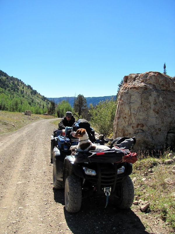
09-24-2010, 07:25 PM #9I'm not sure, but it wasn't a whole lot. I didn't bring enough water to let her run much of the way, and it was mostly fast gravel roads where she couldn't keep up anyway. Whenever we were going slow or I knew there would be a reservoir or stream ahead, I'd let her off to run though. Originally Posted by Summit
It's on the north rim of North Salt Wash, at about N 39 Originally Posted by Summit
-
09-24-2010, 07:29 PM #10
SWEET!!!!!! What an awesome ride!!!!
-
09-26-2010, 03:37 PM #11
Excellent trip report!


 Reply With Quote


Similar Threads
-
[Trip Report] 5 Days......Red Castle
By benlittle in forum Backpacking & CampingReplies: 23Last Post: 08-21-2007, 11:48 AM -
[Trip Report] TR-- Green Valley Loop
By Sombeech in forum Mountain Biking & CyclingReplies: 16Last Post: 02-06-2007, 09:35 PM -
Green Valley Loop Video Remix
By Sombeech in forum Mountain Biking & CyclingReplies: 3Last Post: 01-05-2007, 06:29 PM -
Boulder Mountain Trails / Cathedral Valley loop
By brettyb in forum Hiking, Scrambling & Peak BaggingReplies: 4Last Post: 10-24-2006, 03:35 AM -
TR -- Green Valley Loop *helmet cam* Feb '06
By Sombeech in forum Mountain Biking & CyclingReplies: 9Last Post: 02-22-2006, 11:31 PM
