

Results 1 to 4 of 4
Thread: Water Canyon and Bruin Point
-
06-18-2010, 04:20 PM #1
Water Canyon and Bruin Point
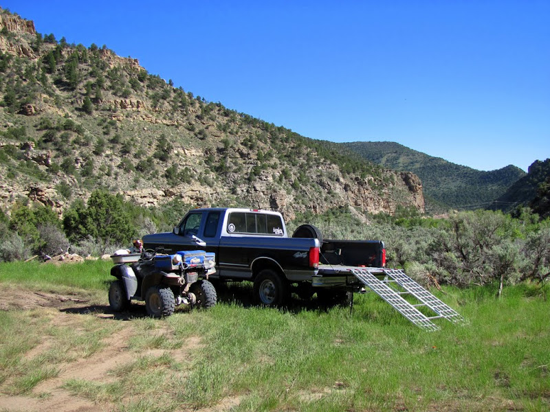
I went for a quick evening ride after work yesterday near East Carbon/Sunnyside. I parked the truck near the rodeo grounds just past Sunnyside, then unloaded the ATV and started riding. There was some rock art near where I started the ride, so I had to do the short hike to check it out.
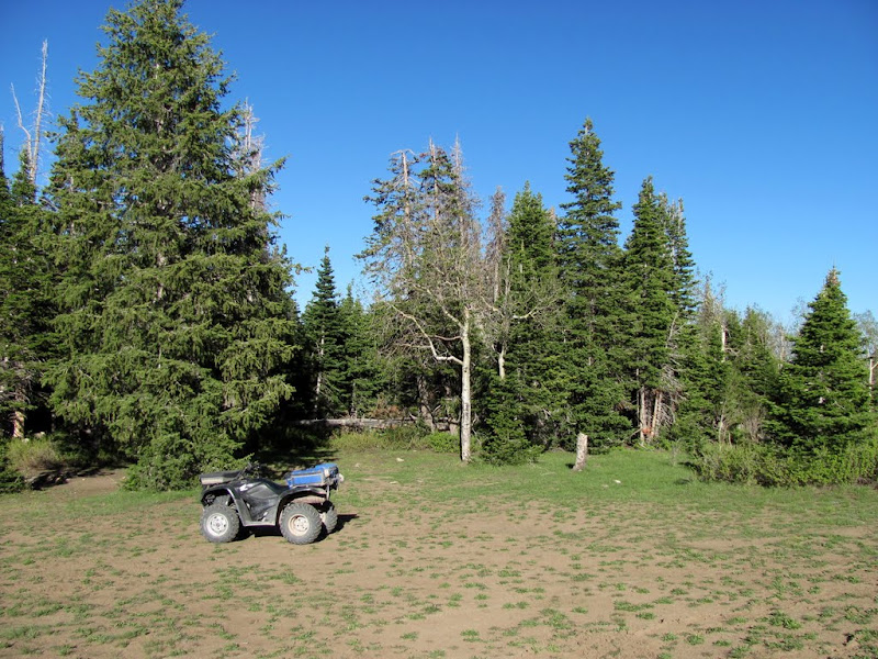
Unloaded and ready to ride (sportin' a Bogley sticker now!)
Pictographs
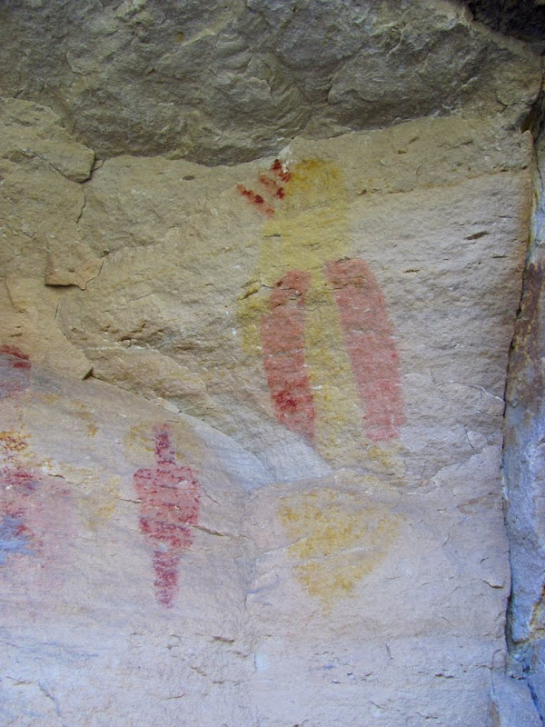
Pictographs
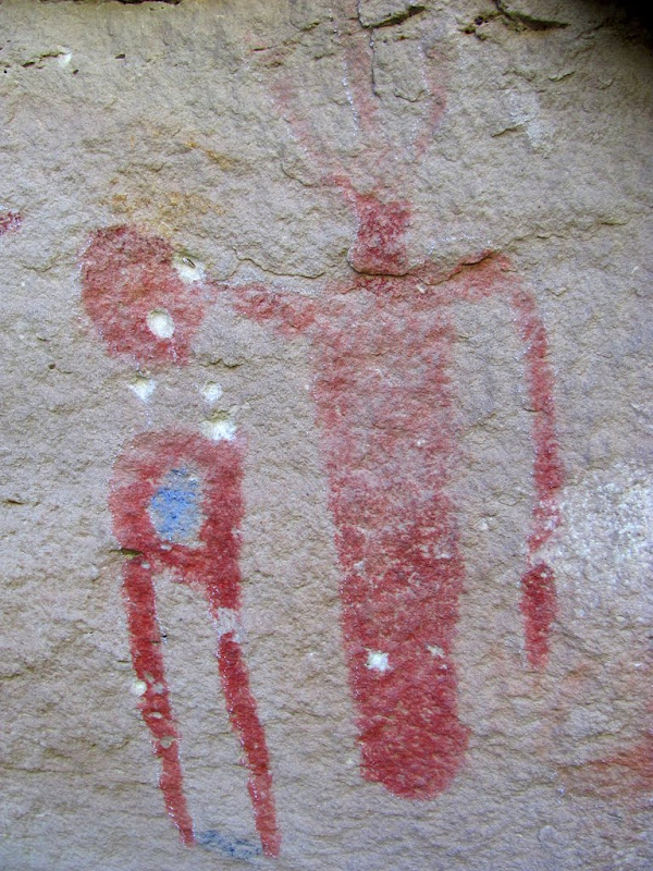
Petroglyphs

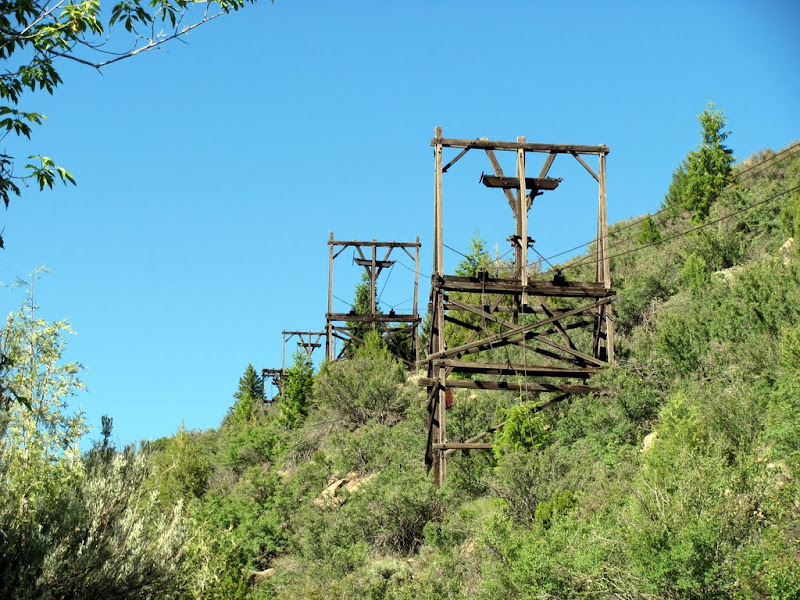
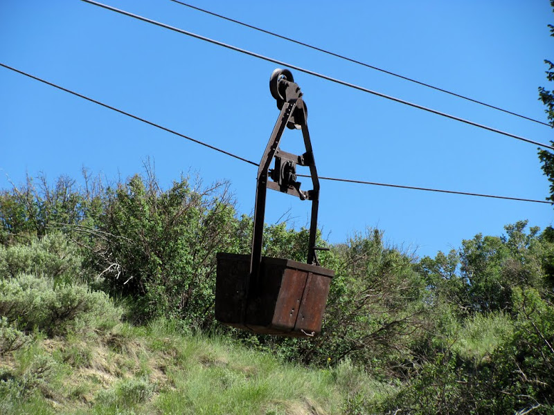
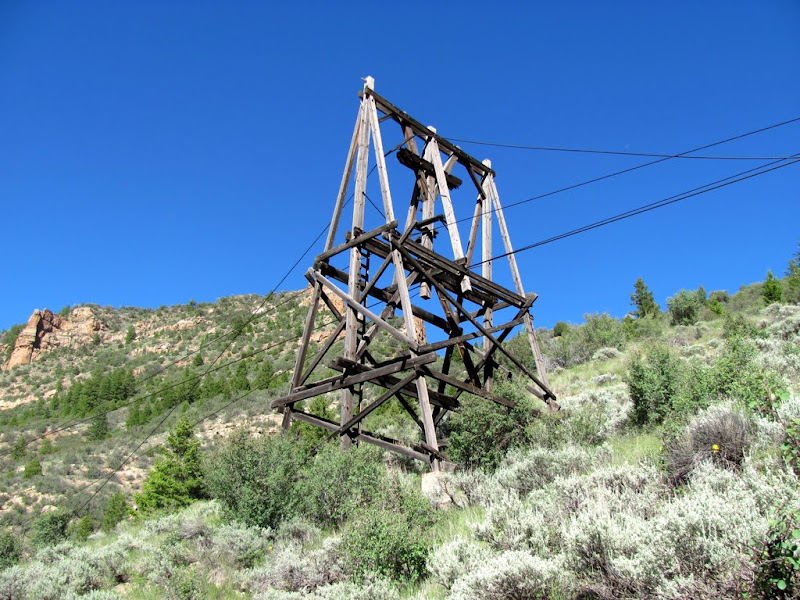
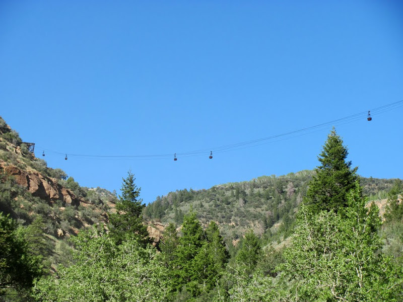
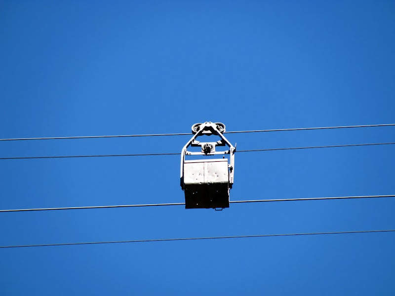
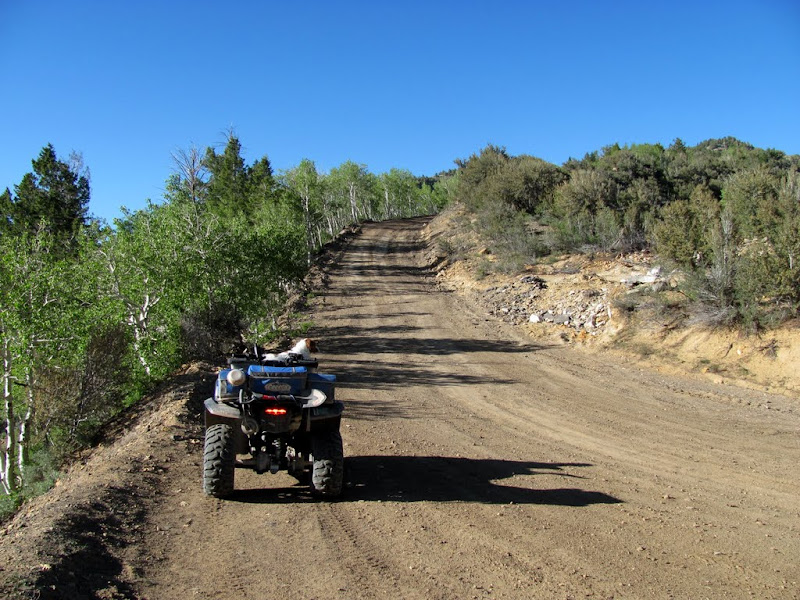
The road through Whitmore Canyon is paved, but it's a graded dirt road through Water Canyon and for the climb up to Bruin Point. In Water Canyon there's an old aerial tram that hauled what they called "rock asphalt" from a mine about halfway up the canyon. Cable is still strung and ore buckets are still suspended (some a few hundred feet in the air), though the tram hasn't been in use for almost 80 years. I stopped briefly at the mine to check out the top end of the tram, then kept climbing up the steep road to Bruin Point.
The road in Whitmore Canyon

Tram support structures in Water Canyon
A suspended ore bucket
Another support structure that I hiked up to
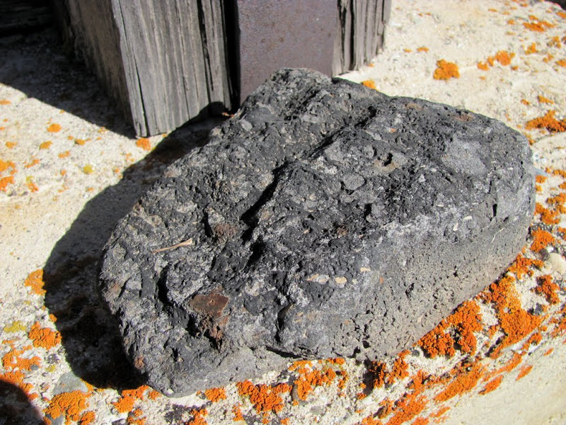
"Rock asphalt"
The tram where it crosses the canyon
Zoom of an ore bucket about 200' overhead
Mechanism at the top end of the tram
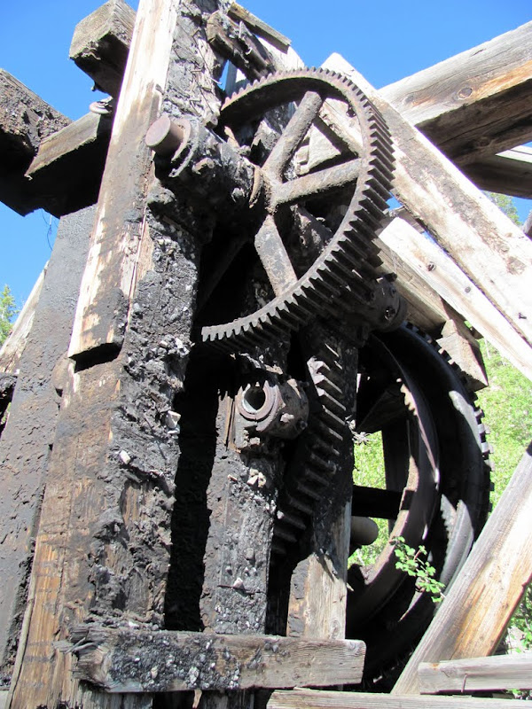
More stuff at the top of the tram

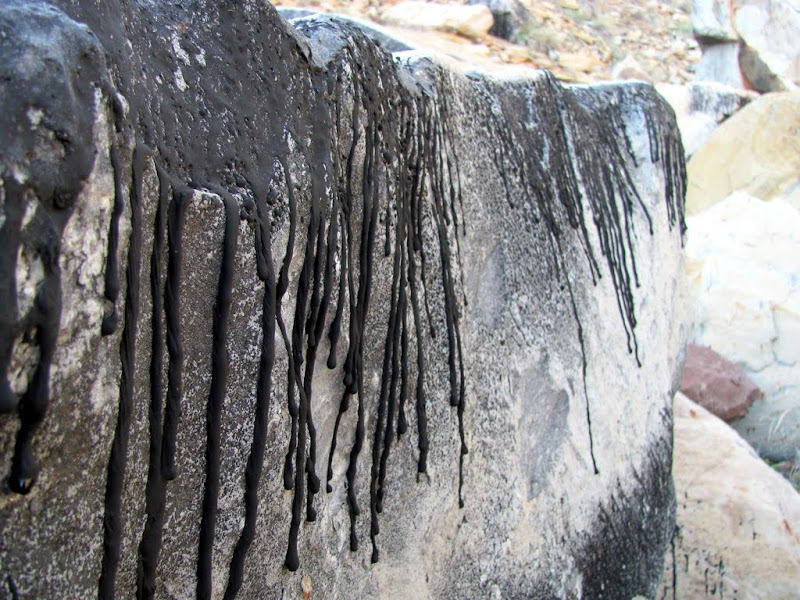
Tar/asphalt seeping out of the sandstone
Just below the old mine site
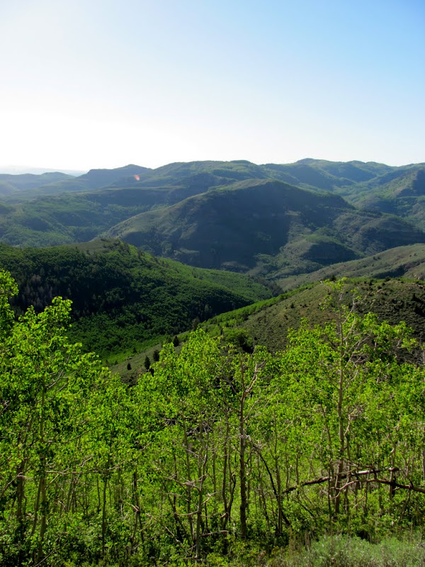
View into South Patterfore Canyon and the Right Fork of Whitmore Canyon
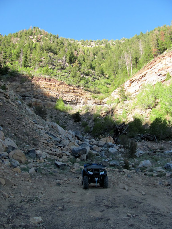
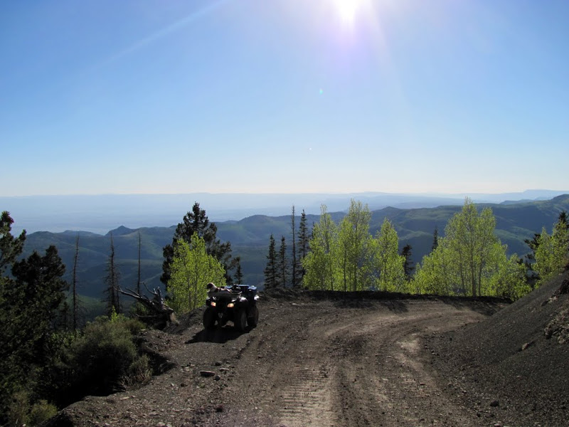
Still climbing up to Bruin Point
Almost to the top
From Bruin Point, I rode northeast a short distance to check out a possible camp spot for an overnight ATV trip I'm planning for this summer. I also rode down the Dry Canyon road for a bit, but it was fully shaded and very cold, and I was wearing shorts and a t-shirt, so I turned around and headed back for the truck.
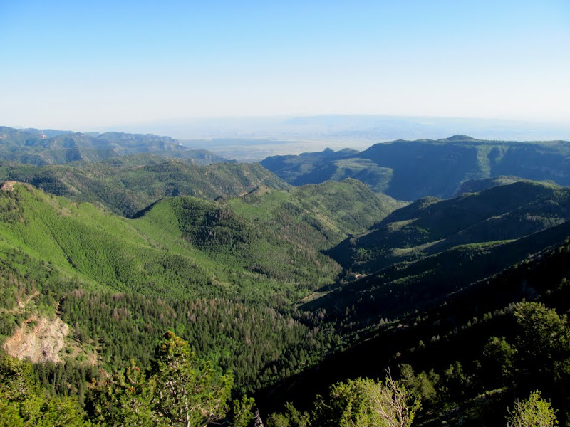
Bruin Point
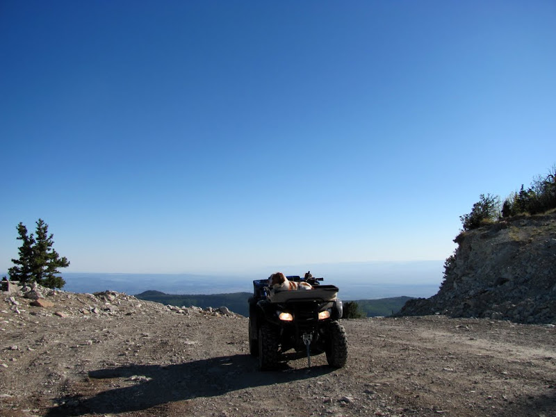
View from Bruin Point
Looks like a nice place to camp
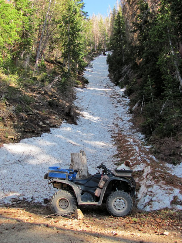
A snow-filled chute north of Bruin Point
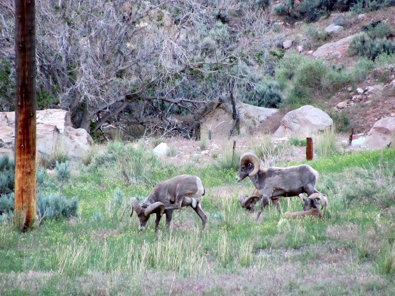
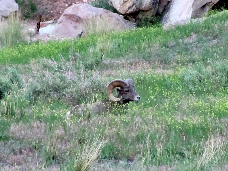
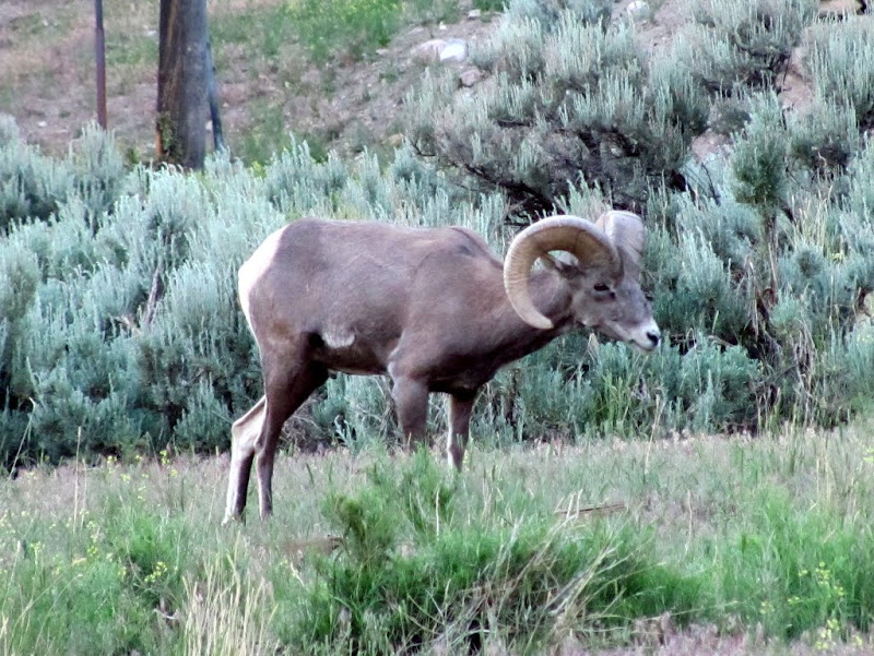
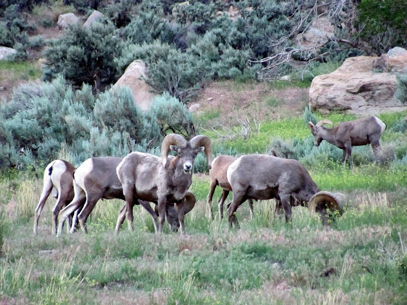
On my way back through Sunnyside, I saw the desert bighorn sheep that often graze there. They are relatively tame compared to other bighorn I've seen in the San Rafael Swell. This is a pretty popular place for people to come watch the sheep.
Bighorn sheep near Sunnyside
Here are all the photos:
http://picasaweb.google.com/Dennis.U...yonBruinPoint#
And here's a Google Earth .KMZ file showing all the photo locations:
-
06-18-2010 04:20 PM # ADS
-
06-18-2010, 05:12 PM #2
I love that tram line .. next time I am in the area I am going to hike up there.
-
06-22-2010, 11:57 AM #3
Awesome! You got some great pictures. Looks like a fun place to explore!

Bogley sticker!
-
06-22-2010, 08:32 PM #4
I am impressed with how green the foliage is across the state this year. Guess we got enough rain to keep us outta drought this year.

Sweet TR, Dennis! I'm always envious of you, BruteForce, and anyone else who has a 4-wheeler and can take off and enjoy this beautiful state. "All roads, all codes!"


 Reply With Quote


Similar Threads
-
[Beta] Water Canyon Squirrel Canyon loop help?
By Rented mule in forum Hiking, Scrambling & Peak BaggingReplies: 5Last Post: 05-27-2009, 03:04 PM -
Observation Point Canyon - pics and TR
By ratagonia in forum CanyoneeringReplies: 0Last Post: 11-25-2008, 02:41 PM -
TR: Bruin Point > Cottonwood Canyon > Nine Mile Canyon
By Udink in forum Offroad 4x4, Side by Side and ATVReplies: 1Last Post: 07-09-2007, 08:58 PM -
canyon with water?
By hesse15 in forum CanyoneeringReplies: 31Last Post: 07-01-2007, 05:42 PM -
[Trip Report] yovimpa point :: bryce canyon
By stefan in forum Hiking, Scrambling & Peak BaggingReplies: 5Last Post: 01-12-2007, 12:21 PM
