

Results 1 to 5 of 5
Thread: central muddy mountains
-
03-03-2009, 03:36 PM #1
central muddy mountains
went out to lake mead nra to scramble around the central muddy mountains yesterday. started at the southern flanks, right off the bitter springs scenic backcountry byway, and headed straight up, sticking to teh ridge and hitting all the high points. sometimes having to drop to one side or the other or backtrack when cliffed out, but there is always a way. then back down in a nice, wide wash and back to teh car. weather was great, 70+, and started out mostly sunny to wind up overcast. a way fun day and a strenuous one.
full photos - http://outdoors.webshots.com/album/570362954ePbYmu
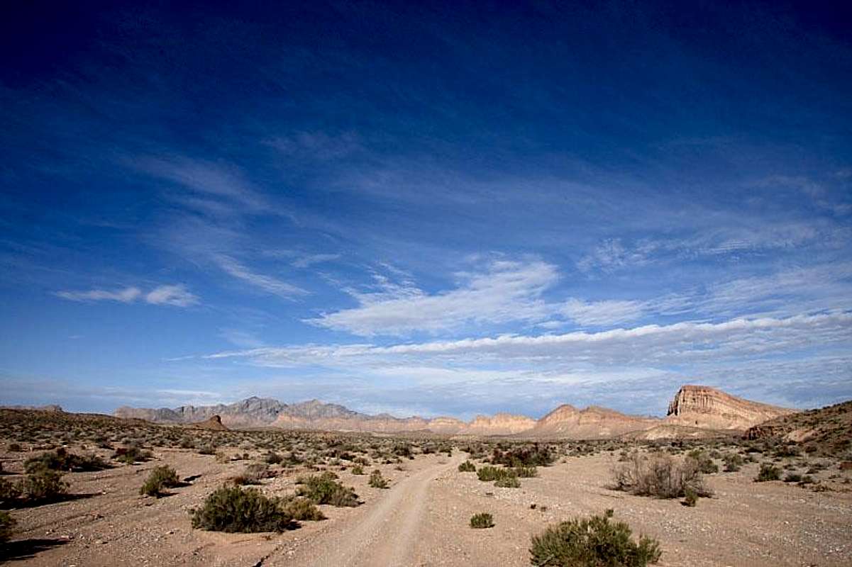
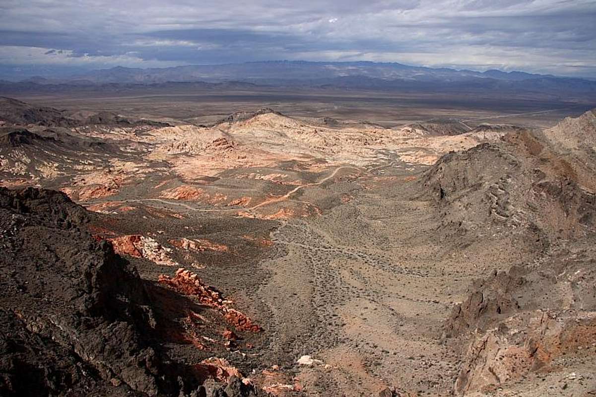
bitter ridge over the western muddys to the left. seen from bitter springs scenic backcountry byway
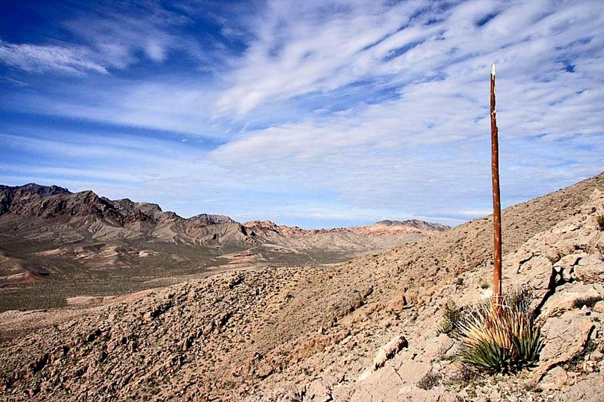
heading up
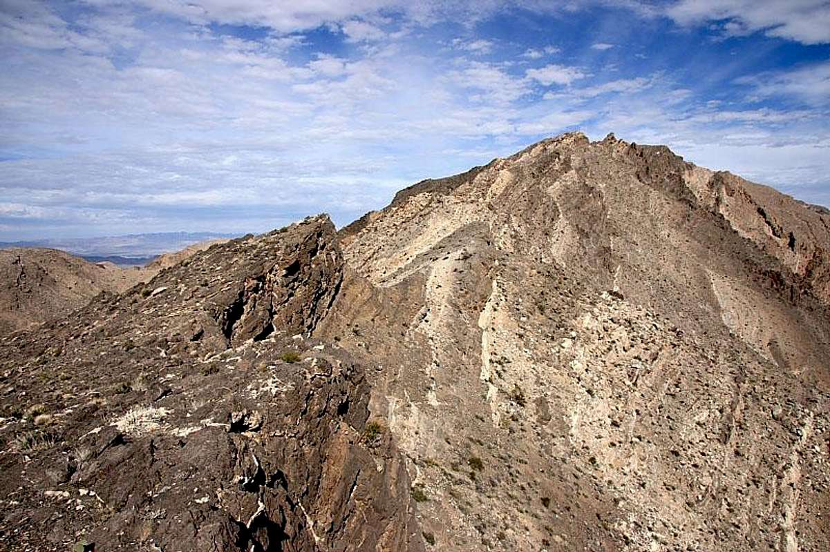
the broken ridge
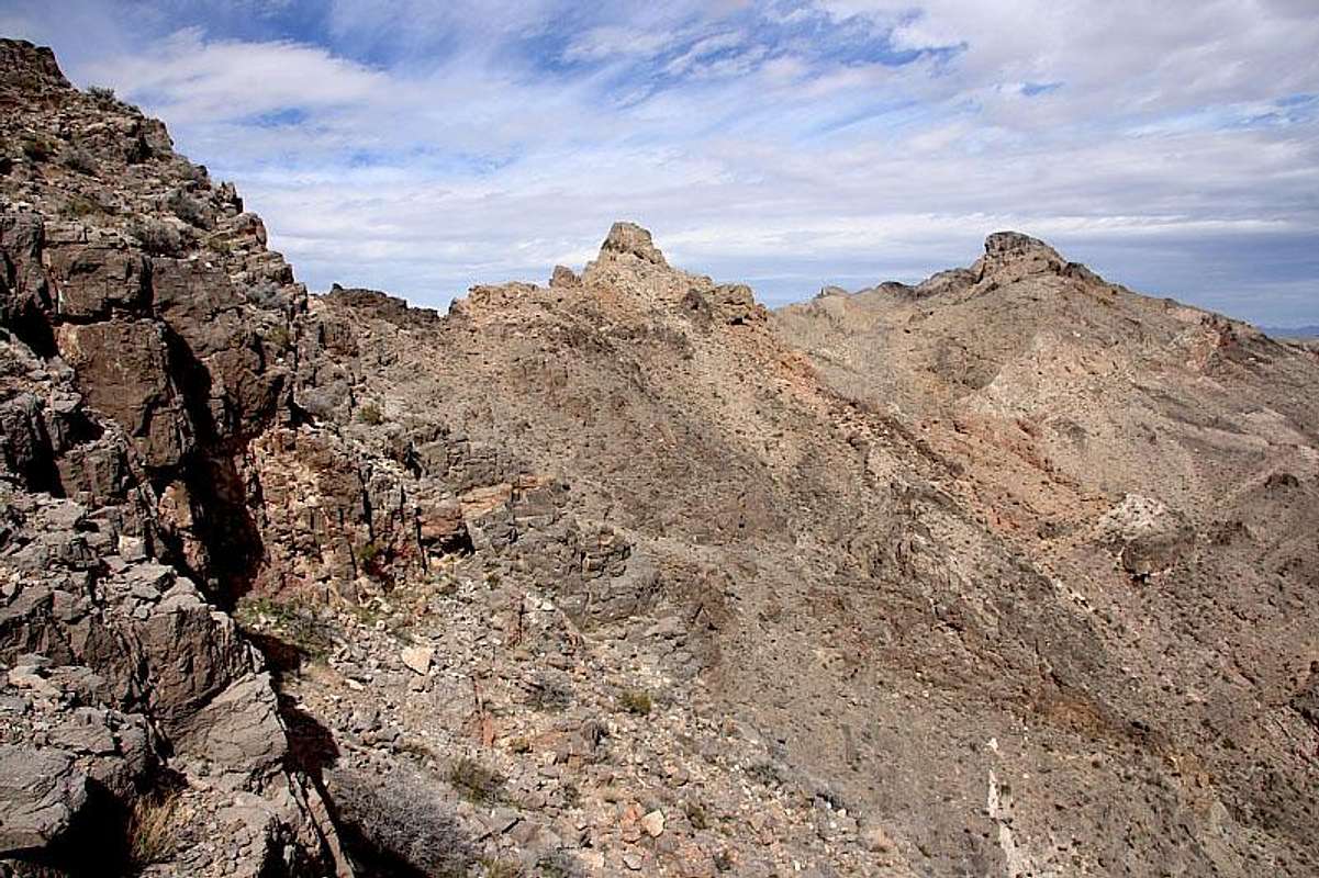
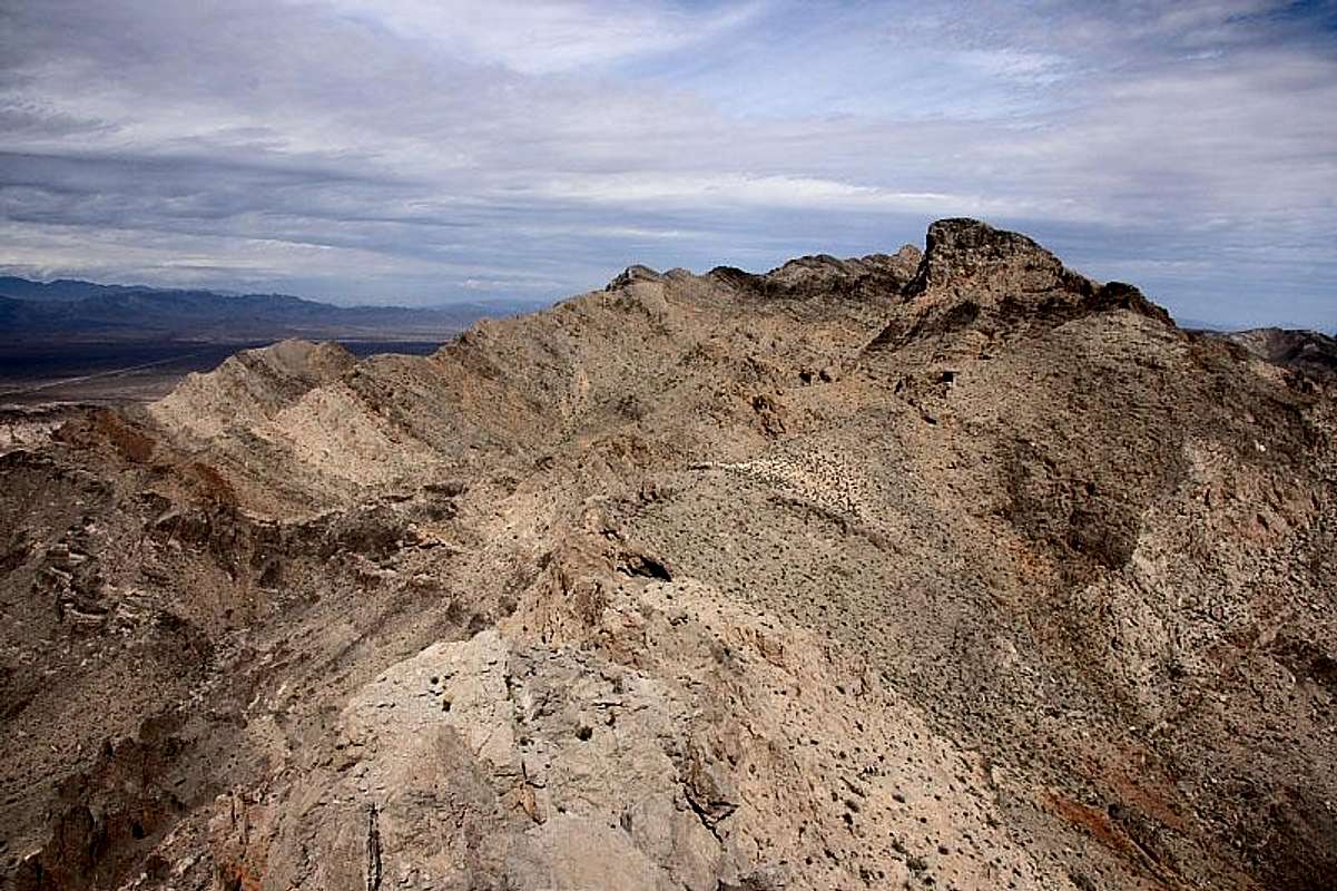
poitn 1348, right, second highest in these central muddys, and an unnamed block middle. seen from below point 1355.
buffington pockets from summit of unnamed block
poitn 1348 from unnamed block
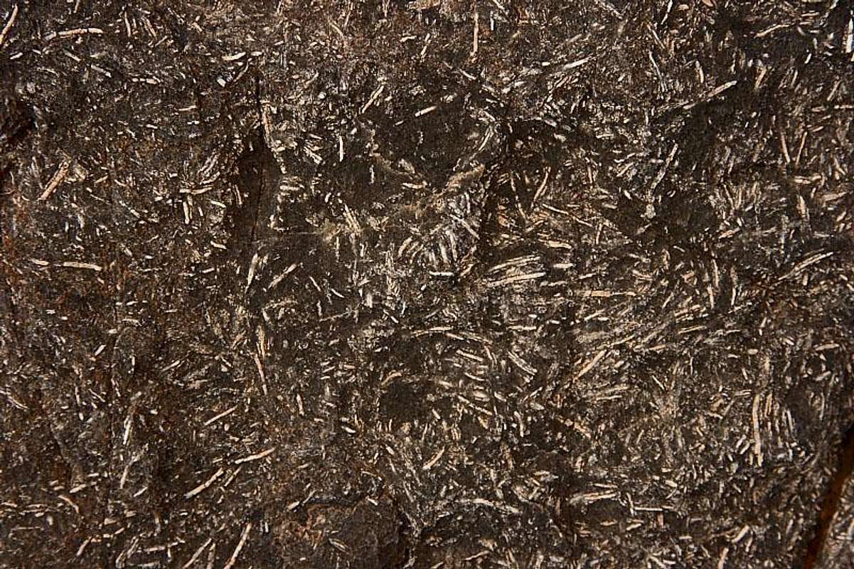
fossils ?
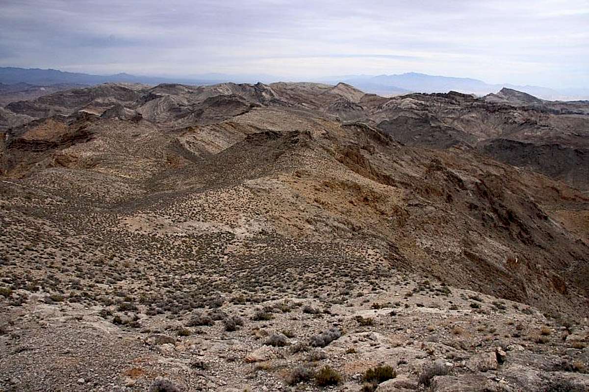
view east from ridge
 signature
-
03-03-2009 03:36 PM # ADS
-
03-03-2009, 08:07 PM #2
Pretty landscape - extremely barren! I bet that would be a warm hike in the summer. That shot of Buffington Pockets is pretty sick.
Tear down Dams, Build up Dreams!
-
03-03-2009, 10:17 PM #3summer is hot. we've only ben here a year, but last july n august was usually still near 100 degrees at midnight, and i am already starting to hike in "snake mode" although it is still a little cool for them to be out yet.
 Originally Posted by fouristhenewone
signature
Originally Posted by fouristhenewone
signature
-
03-04-2009, 10:26 PM #4
Way Cool! You got UP there! I love the perch perspective of the matrix.
Awesome stuff, for sure. Stark, lonely place. Ever try going on top of Cleopatra Wash? It's located down Boathouse Cove road. Bighorns all over the place! The hike used to be rewarded with a deep green grotto where Lake Meade came up to the wash and there was 20 ft deep water to plunge off the rocks into. Private cove. Now, you need webbing or a rope to down
climb to the rocky, dry botttom and hike 1/2 mile to the existing lake.
So so sad to see the lake recede like my durn hairline.
You take some great shots, by the way! Good job! Thanks for sharing.
I just hiked over on hwy 93 North of the Arrow Range. Gnarly geo
swirls and pushed up fins. 8 ft tall yuccas everywhere."Just waiting for a sip of that sweet Mojave rain"
The Killers
-
03-04-2009, 11:53 PM #5yeah, i liked cleopatra wash. not nearly as colorful or exciting as the hype i had heard but still very scenic. i got to the drop and climbed up to pass and continue to teh lake. it must have been way cooler w/ higher water like you describe. then i came back along the ridge between cleopatra and kendall, for a while at least. very strenuous. i gave it up and headed back into cleo asap. those fins and spires are cool, but damn are they rough to move thru ! Originally Posted by Rented mule
thank you and your welcome. always like to share when it is fun so others can enjoy if they want. Originally Posted by Rented mule
like meadow valley mountains or bunker hills ? is old hwy 93 still passable ? i wanted to get out to arrow range a couple weeks ago but it looked like it was dumping hard, so stayed south and dry. Originally Posted by Rented mule
if you ever feel like some new company on a hike drop me a line if you have a monday free, that is when i go now since my shift changed, sunday i spend w/ jr.signature


 Reply With Quote
Similar Threads
-
[Trip Report] Central
By LOAH in forum FishingReplies: 2Last Post: 09-22-2009, 09:49 AM -
The Muddy, Muddy Swell - Feb 2008
By ExpUt in forum Offroad 4x4, Side by Side and ATVReplies: 9Last Post: 01-13-2009, 05:57 PM -
[Trip Report] Muddy Mess
By blueeyes in forum Mountain Biking & CyclingReplies: 5Last Post: 09-01-2008, 08:37 PM -
Hit a few central waters
By LOAH in forum FishingReplies: 6Last Post: 05-18-2008, 03:10 AM -
[Trip Report] Cold wet and muddy
By Johnlithon in forum Mountain Biking & CyclingReplies: 8Last Post: 12-13-2007, 08:20 PM
Visitors found this page by searching for:
Outdoor Forum
