

Results 1 to 3 of 3
Thread: TR: Box Flat to Devil's Hole
-
02-17-2009, 02:12 PM #1
TR: Box Flat to Devil's Hole
After catching a glimpse of Devil's Hole two weekends ago while I was riding my ATV, I decided that this past weekend I needed to get out there and hike into the area. About half of Devil's Hole is inside the Mexican Mountain Wilderness Study Area, and the other half is state trust land. As far as I can tell, there is only one way into Devil's Hole--the rest of it is bordered by cliffs rising up to the north and the sheer walls of Red Canyon dropping off to the south. I was pressed for time because I had to be back in Price for my son's birthday party in the afternoon, so I only spent about two hours hiking and did about 3.7 miles round trip. This place is so awesome, and I surprisingly can't find any information about it on the internet, so I plan on doing several more day hikes and maybe an overnighter in order to explore it fully.
Google Earth KML file with tracklog and waypoints:
http://castlecountry.org/geo/DevilsHole_2009-02-16.kml
Full photo gallery:
http://picasaweb.google.com/Dennis.Udink/DevilSHole
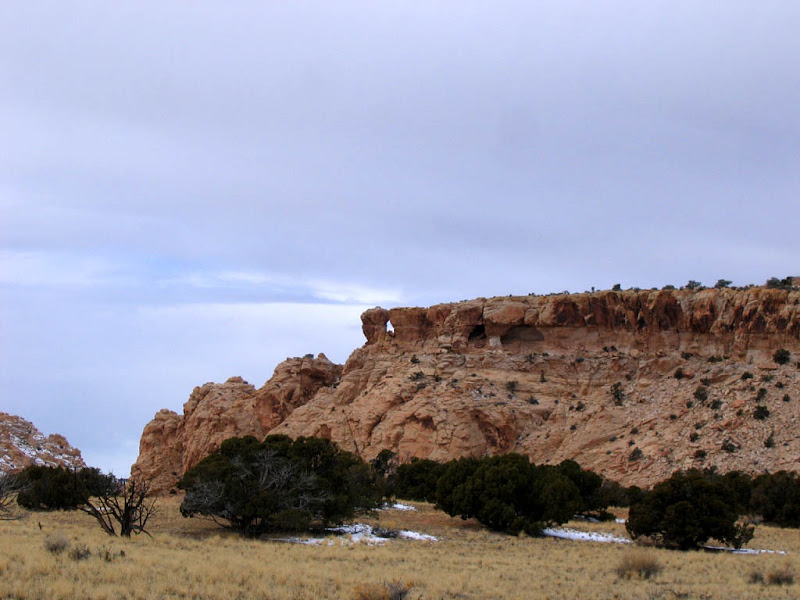
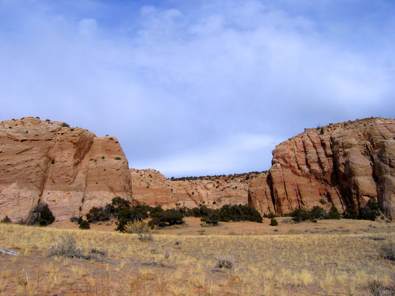
View of the trail from the WSA boundary:
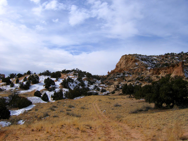
I initially followed the ATV tracks which went to the left of center, but that led to a bit of scrambling to get down into Devil's Hole. Instead, if you hike straight toward the saddle in the center of the photo, and pass underneath the funky little rock formation sticking up there, you'll be on the best route into Devil's Hole.
Looking back toward the truck on Box Flat:

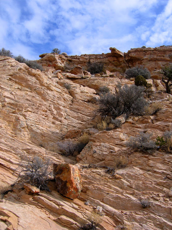
Part of the scrambling route:
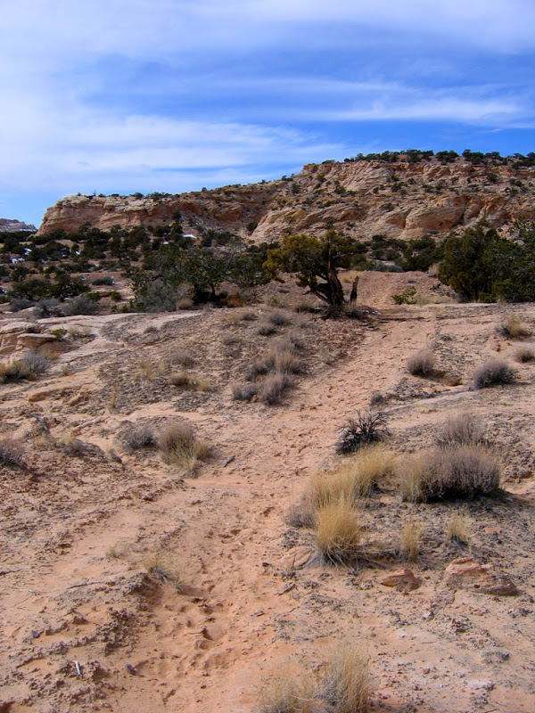
This is the easier hiking route--it appears to be mostly traveled by people on horses:
Rock formations in Devil's Hole:
Rock formations in Devil's Hole:

The southern end of the sandstone knoll:
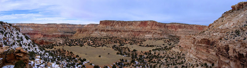
Panorama of the eastern flat in Devil's Hole:
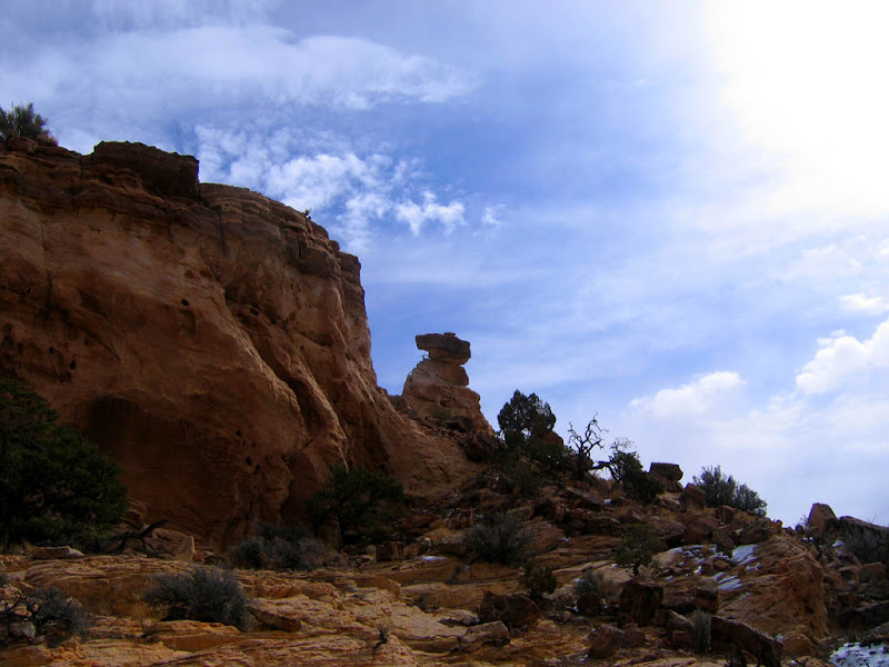
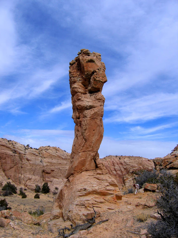
A rock pinnacle near Box Flat:
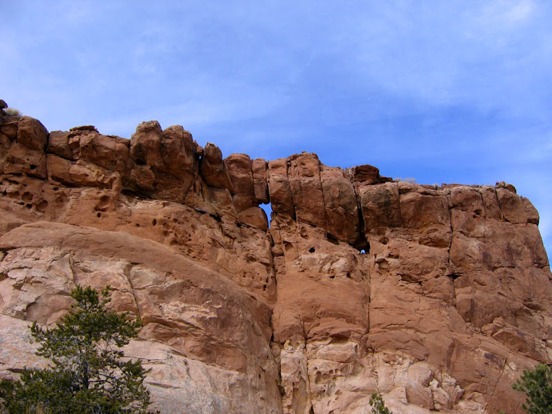
A small arch near Box Flat:
Navajo Sandstone formations on Box Flat:
-
02-17-2009 02:12 PM # ADS
-
02-17-2009, 02:31 PM #2
Nice pics!
-
02-17-2009, 03:27 PM #3
Next time you are there and have at least half a day, you may want to try this:
Jackass Flat is the big flat just southeast of the one you parked at (Box Flat). From Jackass Flat, if you more or less stay on the faint ridgeline between East Fork Red Canyon and Spring Canyon you can hike south to Point 6648 (in Section 36 on the topo map). It is probably the best viewpoint in the entire San Rafael Swell and about seven miles round trip. Fairly easy walking, but you have to pay attention to the map. In addition some of the upper parts of East Fork Red Canyon are full of fantastic and huge rock towers.


 Reply With Quote
Similar Threads
-
[Trip Report] TR: Prickly Pear Flat and Box Flat
By Udink in forum Offroad 4x4, Side by Side and ATVReplies: 4Last Post: 02-10-2009, 01:29 PM -
[Trip Report] TR: Fuller Bottom, Coal Wash, Devil's Racetrack
By Udink in forum Offroad 4x4, Side by Side and ATVReplies: 12Last Post: 12-09-2008, 08:25 PM -
Devil's Garden
By peterb in forum General DiscussionReplies: 1Last Post: 05-29-2008, 05:19 AM -
Devil's Castle on the Fourth of July...
By Brian in SLC in forum Hiking, Scrambling & Peak BaggingReplies: 5Last Post: 07-09-2007, 02:52 PM -
[Trip Report] TR: Devil's Canyon Cave, MT
By jumar in forum Climbing, Caving & MountaineeringReplies: 0Last Post: 06-04-2007, 08:51 AM
Visitors found this page by searching for:
Outdoor Forum
