

Results 1 to 9 of 9
-
12-16-2008, 11:50 AM #1
Blue John canyon 12-6 and 12-7-08
Headed down to do Little Blue John and Main Blue John forks. Got down there at about 11 pm on friday and found an awesome place to camp. It was freezing and I had trouble sleeping because it was so cold. In our group: Me, Dad, 2 brothers, and my Uncle.
On Saturday we started hiking at about 9 am. Found the head of Little BJ after about an hour of hiking. We went in a mile or more before the first rap so it was alot of dry river bed walking to the first rap. Could have cut out alot of walking by hiking straight to the first rap. It would be easy to access.
I downclimbed the first rap/downclimb. Everyone else in our group rapped to get a refresher course on rappelling. We built a fairly hefty cairn anchor that should last a small flash flood. We stacked 3 rocks that weighed about 100lbs each.
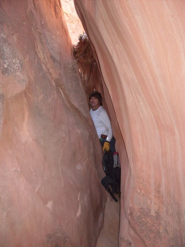
The canyon isn't too slotty at first but it tightens up and widens a few times. A few downclimbs and we are at the second rap. It is off a tree about 20 ft from the rap. Lots of webbing to extend the anchor over the edge. Luckily most of what was there was really good still. The second rap was about 70ft and it is a picturesque rap. Lots of curvy sandstone and different shades of orange/red. Easy rappel. My dad had me try the french wrap on the rap for the first time and I learned the 6 times around the rope was too many. 4 was just right.
The canyon is about the same up to the third rap. This rap was anchored with a huge boulder probably in the 10s of thousands of pounds. Then there was a backup sling around some chokestones that were wedged really well in between the huge boulder and the canyon wall. There was just enough room for 2 people between the boulder and the rap and you had to squeeze/climb between the boulder and the canyon wall to get to where you could rap. We checked the webbing around the boulder and all 15-20ft was looking good. The backup we couldn't really see all of it but we weren't worried because the boulder was bomb. Another beautiful rap and a little more slot that slowly widened to an open wash and we were at the fork with the main BJ drainage.
By the time we got to the West fork exit it was about 4:00pm. We wanted to visit the "Ralston Narrows" as we call them and then check out the last rap heading into Horseshoe canyon. We decided we better head out while we had daylight since we hadn't navigated the exit before.
The exit hike out was longer than we were hoping for but pretty uneventful. The upclimb at the dryfall was pretty easy and the exit out was fairly easy but loose and sketchy with some pretty good penalty points. That last climb is about 30ft up on the left just after the upclimb. The hike out was just following the was until we got on top and then it was alot of little up and down cross country hiking. We made it back to camp at about 6 pm.
Sunday we wanted to do the Main fork but since we missed the Ralston narrows we decided to skip the main fork and enter at the main exit and just visit the narrows since we wanted to save on time. We head off toward the main exit and we veer a little to the right/south.
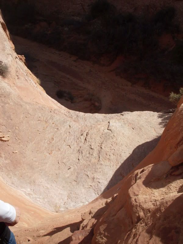
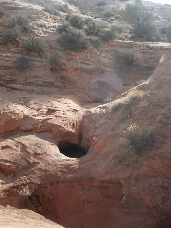
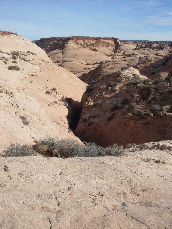
We find ourselves at the top of a small canyon/drainage. We will call it Turner canyon. We could head down the canyon infront of us and hopefully we could get into the main fork from this canyon. It showed that the canyon met up with the main fork on the topo. Or we could go a little east and view the terrain from the top of the hill. We hike eastish over the top of a small hill and find that we are at the main fork drainage of BJ but south of the main exit. Turner canyon starts out going north but turns to the east into the main fork and we may be able to get into the main fork so we head down the mountain to check it out. We get to the confluence of Turner and Main fork wash and it is about 12ft down the first dryfall and then about 60ft cliff into the main.
We didn't bring any rappeling gear except for a 70ft rope and some webbing and a couple biners. We werent expecting to have a rap that day but we brought the rope and webbing so we could set up a handline to get back out of the Ralston Narrows.
We decide not to waste time rapping there because we would have to build a cairn anchor and hauling rocks would have been time consuming. There was a bush that was on the right ldc at the top of the second drop but it didn't look big enough to rap off of. We decided to head up the little slot canyon and see what was up there. It turned out to be an awesome little canyon that was alot of fun.
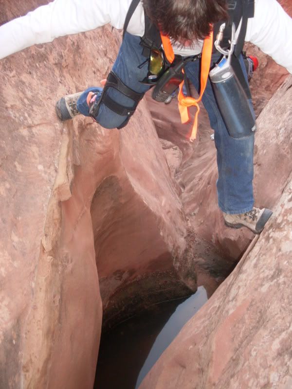
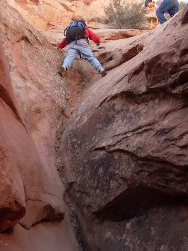
It started with a stem over a deep pothole that had some water in it. The canyon was 4-5 ft wide above the pothole and everyone made it safely. The next obstacle was a 6ft. upclimb that I used a fist jam to get up. There was a few little obstacles to get over but it looked like it was widening up and the end was just around the corner so I yelled to the others to come on up. I kept going a little farther and notice the canyon was really tight for the last 40 ft or so. I went back down to the others and we decided to just give it a try since we would have a crappy hike back up to the top if we went back down.
It turned out to be a fun stem that was about 20ft off the deck at the highest and then a skinny tight shimmy at the end. I had to go low where it was a little wider to make it through. Im a hefty boy.
To get out of that slot and back to the top we climbed up a wide sandy crack about 25ft. My dad went first and made the sketchy move to the right luc to get out of the slot. He made a handline with webbing and the rest of us used that with him meat anchoring to follow him.
We noticed that the canyon on the left luc would have been nearly impossible to get into the slot without a rap. There wasn't anything immediately visible to us from where we were standing on the right luc side of the slot where we were at.
Keep in mind that if you do this slot we did it backwards. And the best wayin would be from the north westish.
We continued on our trek to find the Main exit and instead found a new exit that I think I will start using when we do the Main or Little forks. We named the exit Turner exit.
We finally make it to the wash and hike the few miles down to the Ralston narrows. We set up our handline and headed down canyon. It is a fun section of narrows with some fun obstacles. We got to the Ralston site and quietly thought about what it would be like to live there for 4 days with an arm stuck. Very sobering thought.
down canyon a little farther we dropped our packs and headed into the really dark slot that leads to the last big drop/rap. The narrows were alot more fun this time around. The last time we were in these narrows we had huge heavy packs and we were way behind and we didn't have much daylight left to set up and rap the big drop. It was also my our first big rap. anywho...
the narrows were alot of fun and the last big drop didn't seem as scary as last time. Although I am afraid of heights so it was still nerve wrecking looking over the edge.
We inspected the bolts. There are 4 bolts. One new one is really good looking but the other 3 would make me nervous to rap on. keep in mind I am a noob and have no expertise in the placement of bolts. All 3 of the bad bolts were loose to really loose.
The hike out was a long slog but fun. Of course we mangled the main exit and made some navigation errors and ended up making our way into the west fork exit that we had hiked the night before. Next time we will take Turner exit. It was steep but most of the elevation gain was right at the one spot.
The bummer of the weekend was that we got to Green River at about 8pm and Rays was closed. My Dad and I had been raving to my brothers about how good the burgers were. We settled on Ben's, next door to Ray's and even the waitress said the burgers weren't as good as Ray's haha.
Pics to come.The man thong is wrong.
-
12-16-2008 11:50 AM # ADS
-
12-16-2008, 12:26 PM #2
Little Blue John pics
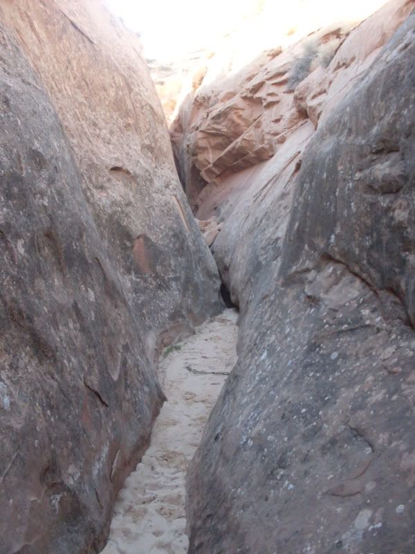
Looking back at the downclimb
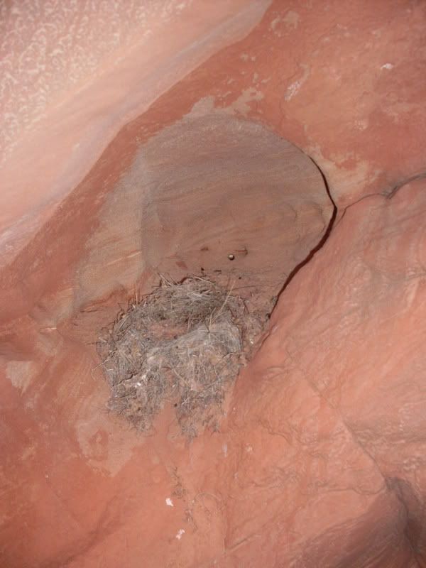
Abandoned bird nest in the canyon
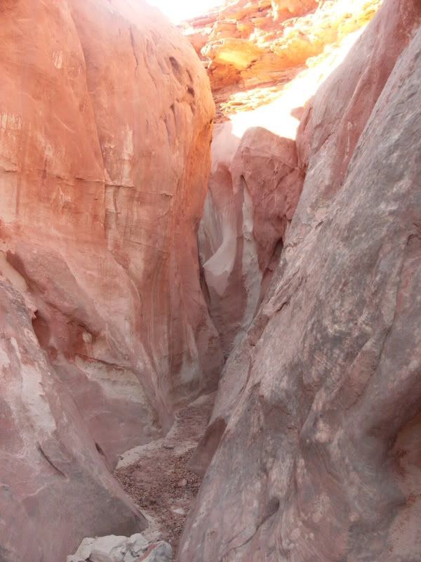
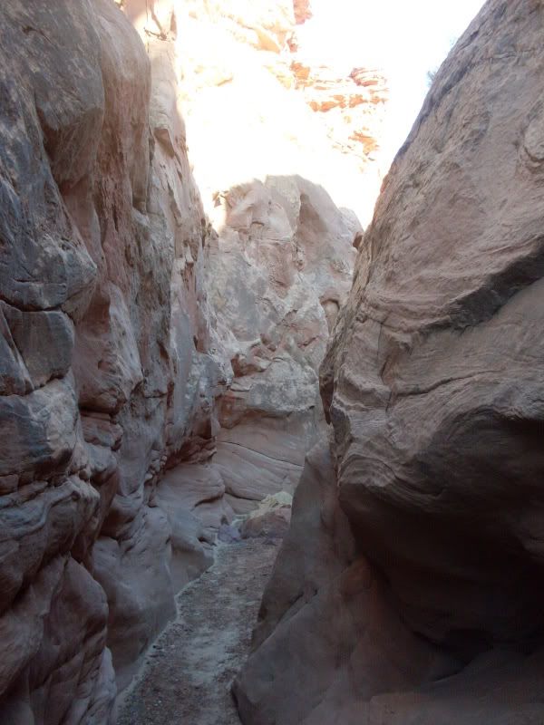
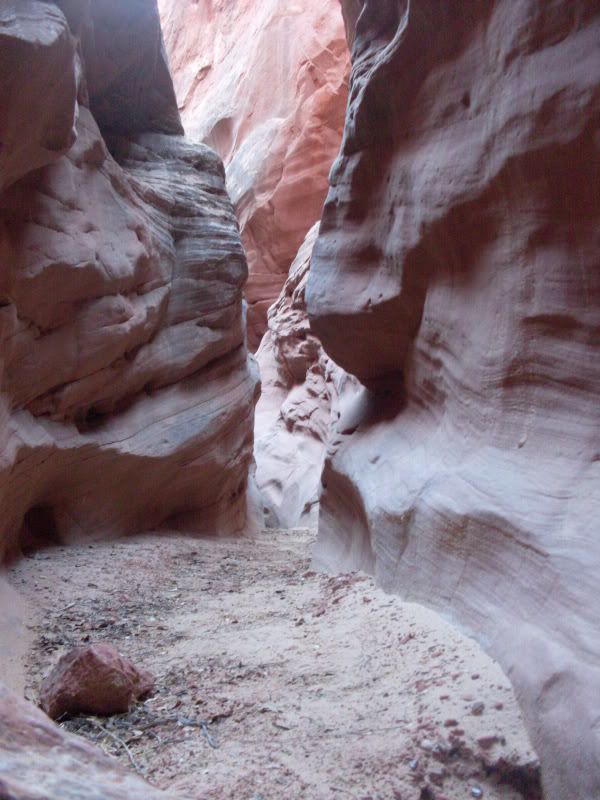
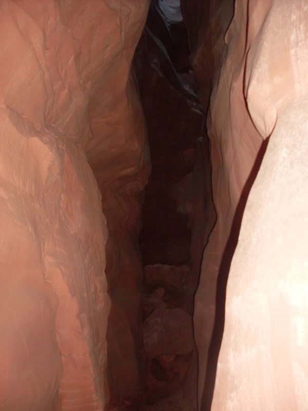
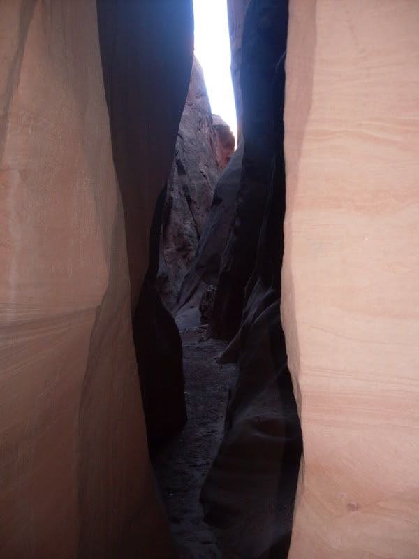
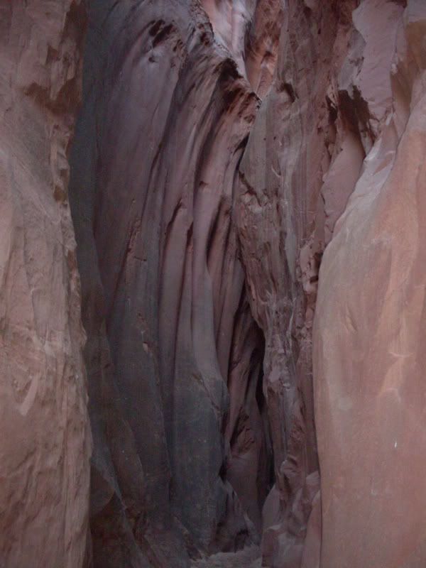
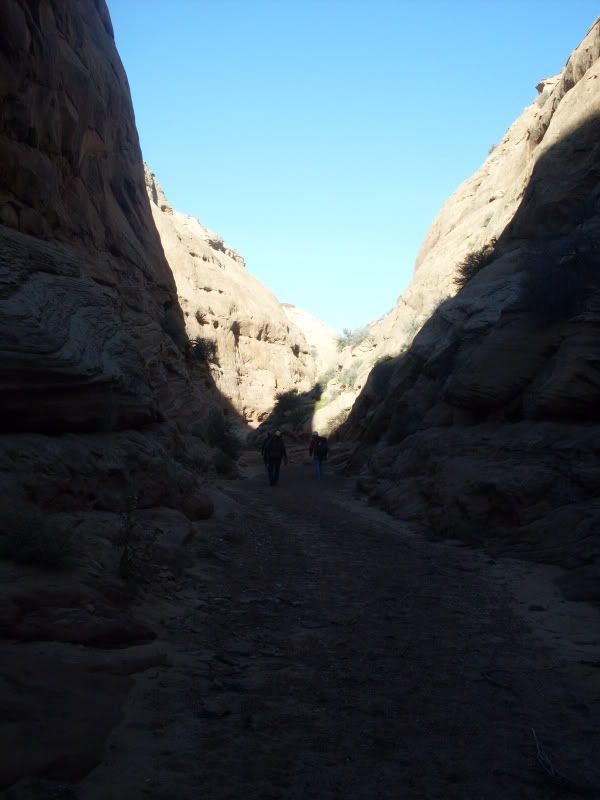
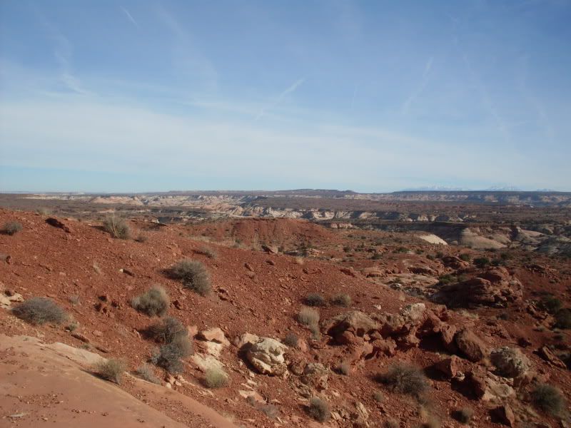
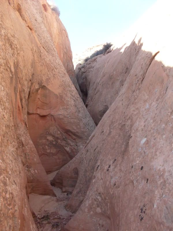
Views in canyon
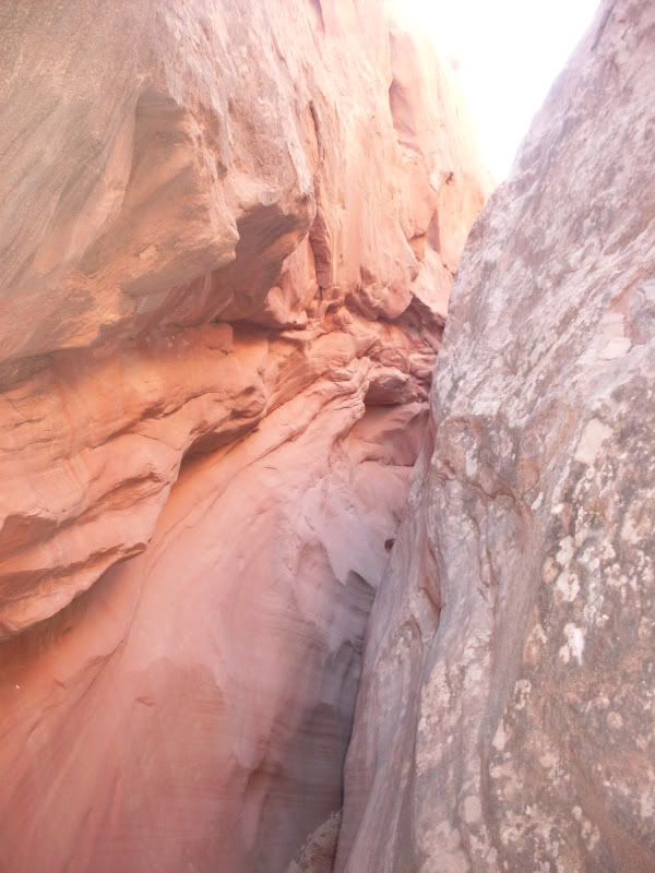
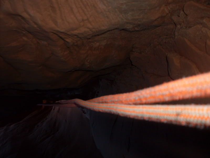
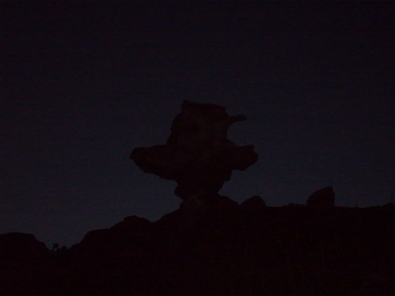
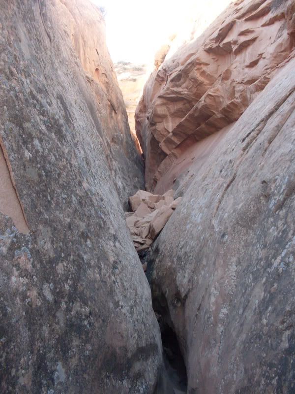
I think this is the second rap
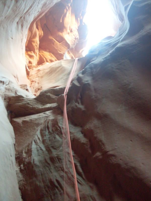
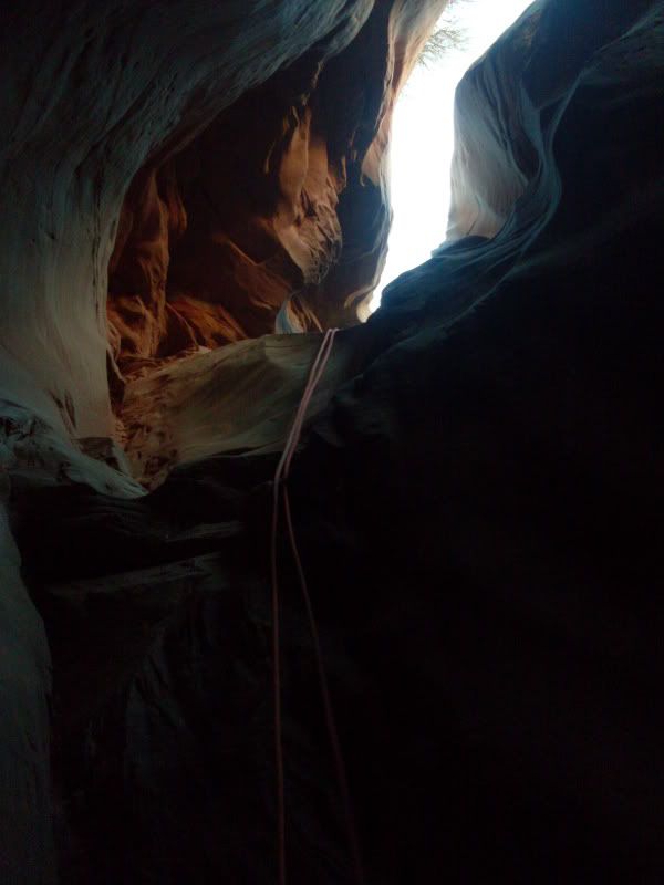
ROPE!
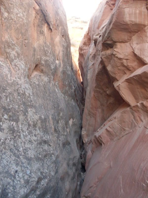
More Views
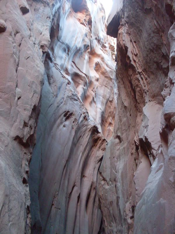
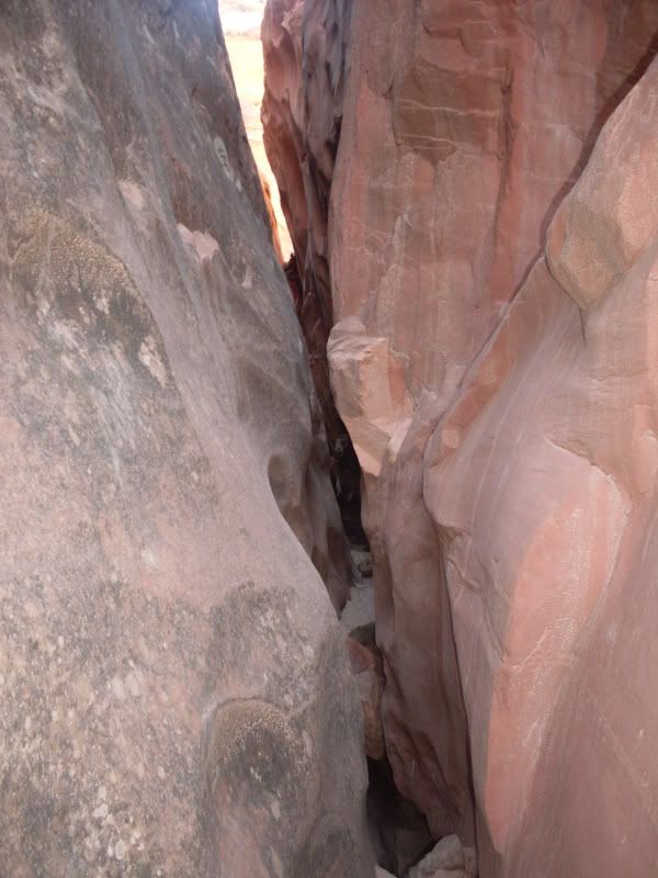
Notice the sand on the walls in the next two pics. Sandstorm above blow it in? It was really cool looking. It was a different color than the sand on the ground.
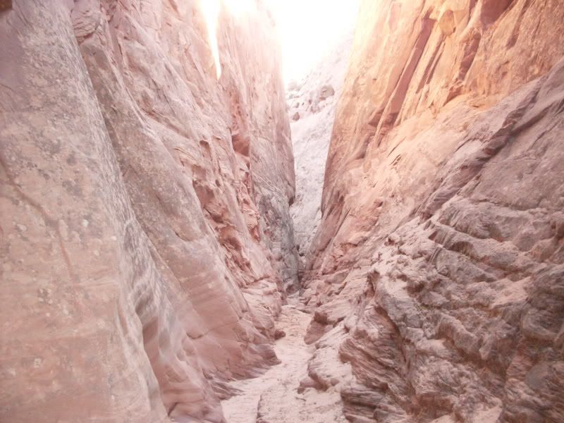
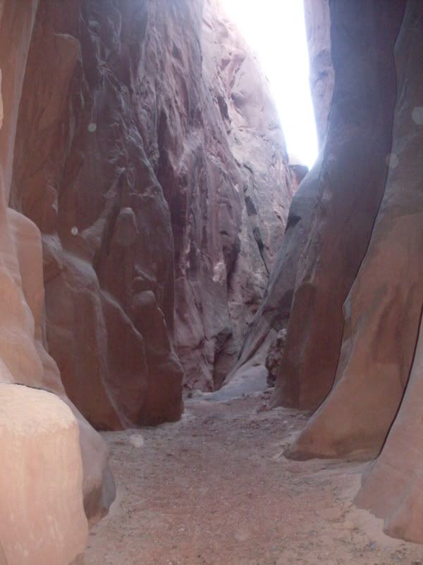
Little Blue John is widening out.
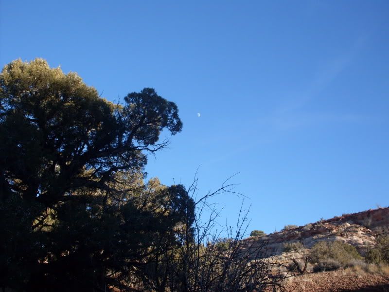
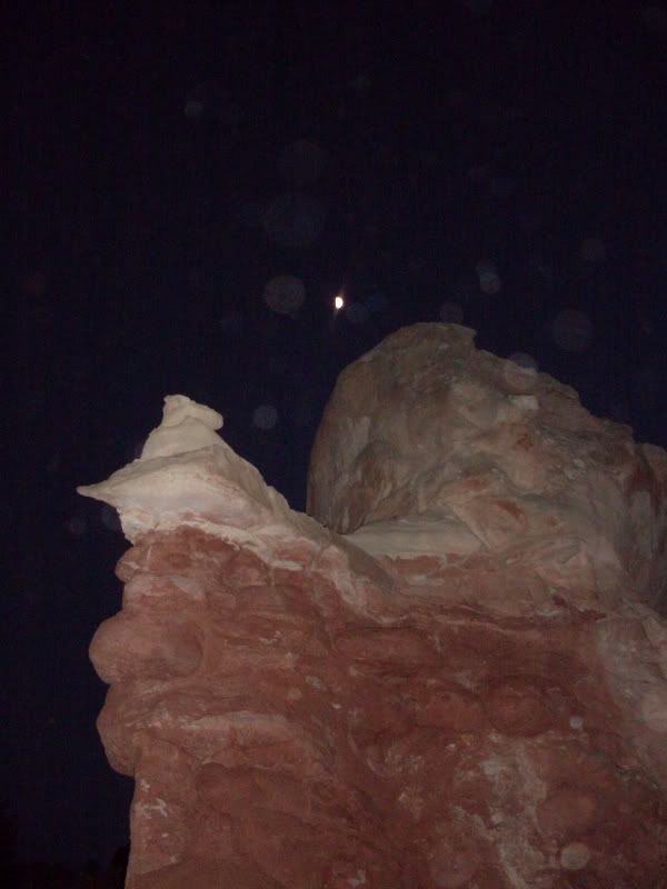
cool moon near the west fork
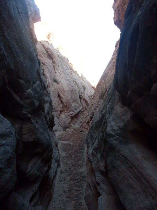
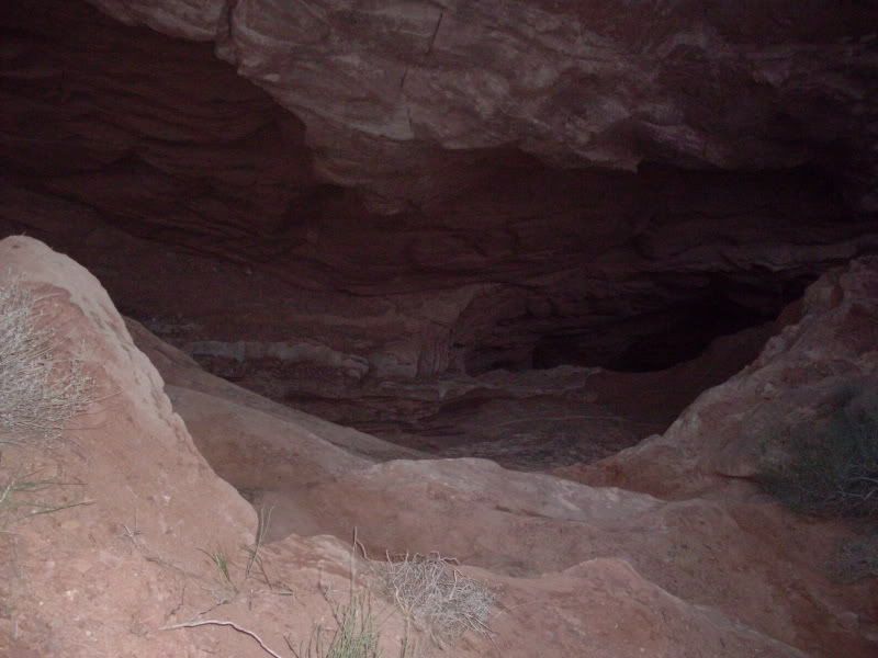
the climb out of the west fork. The dark black slot is the upclimb at the dryfall. I took the pic from the top of the climb out.
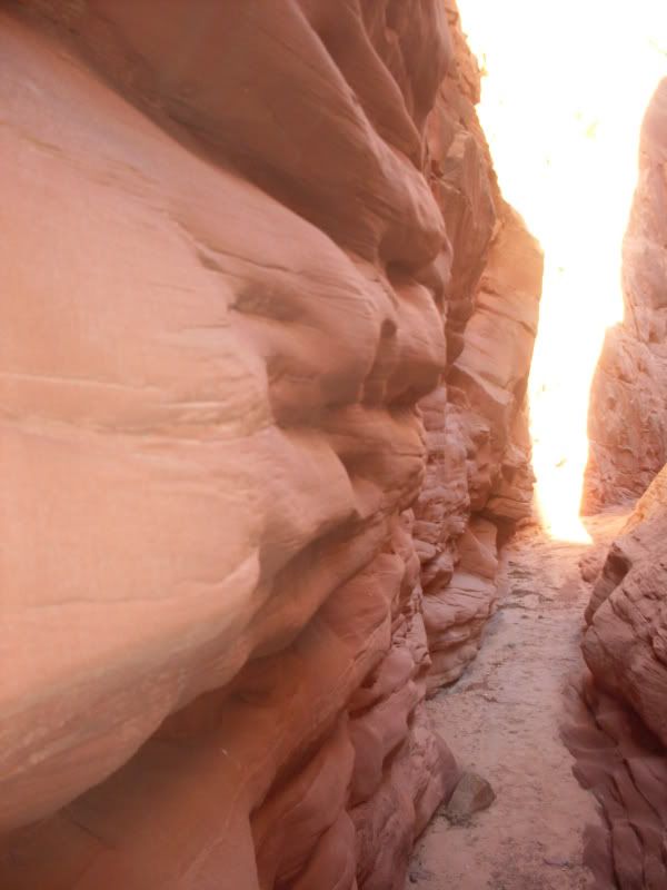
in the west fork on the way out
 The man thong is wrong.
-
12-16-2008, 02:10 PM #3
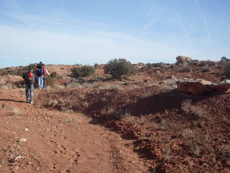
Heading out to find the main exit
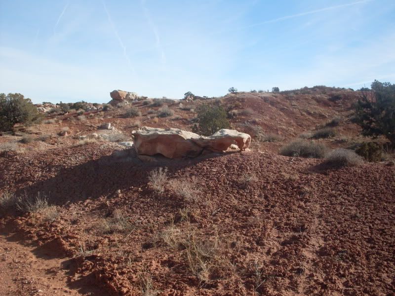
Cool arch rock
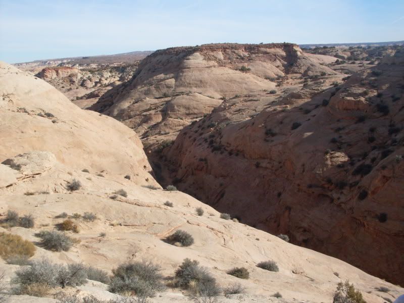
View of BJ canyons
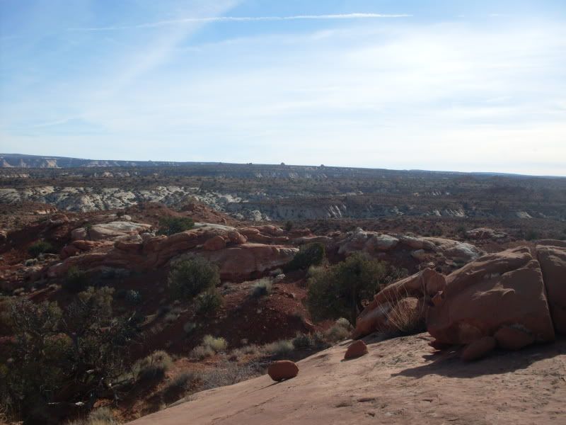
View from the top of the hill into main bj drainage.
going down into Turner canyon
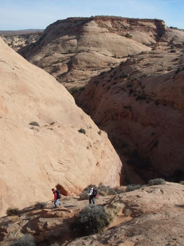
This is the pic of the two dropoffs into Main Blue John drainage
Looking up Turner canyon from the top of the dryfalls.The pothole is just around the corner
My dad finishing the stemming over the pothole
the first upclimb
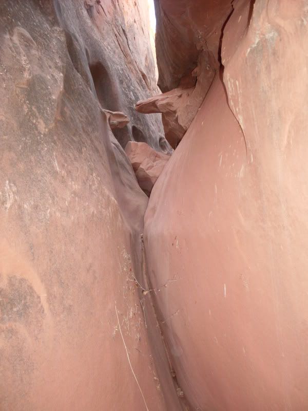
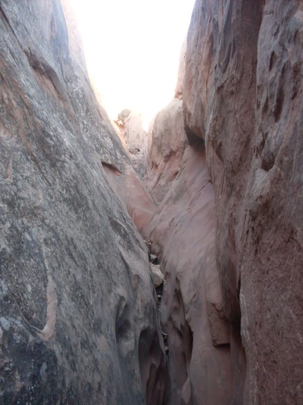
views of Turner canyon
Now I can see the end. Oh, it's tighter than I thought
Closer shots of the tight and high(20ft) stemming section
My dad at the very top of the canyon. The last squeeze before the 20ft upclimb out of the canyon. I had to squeeze low on this one.
My brother at the top of the climb out at the top of the canyon. My dad on the right (luc) tossing him a handline. I am partway up that is why it doesn't look like 20ft
standing on the north west side of the skinny slot (turner canyon) looking back at where we started up over the hill to the east. If we had gone down the drainage it would have led us to that pothole. Not alot of options for entering the slot it is pretty steep there. A rap would probably be needed. We didn't really try to find a place to enter we just figured if we come back we would enter from the north east.
On top looking east into the slot.
Sorry I don't have any pics of the Ralston Narrows. My camera was jammed with sand. 2 cameras in one year. My wife wasn't happy.
If anyone knows of a real name for this drainage I would like to know it. I will also try to map a path on google earth to show where this drainage is.The man thong is wrong.
-
12-16-2008, 02:12 PM #4
Keep in mind all the pics are looking up canyon. We did it from the bottom up. Also Turner canyon is only about 300 yards long, if that. It only took 15 minutes or so to do the whole slot part.
Here are the coords. for Turner Canyon.
38The man thong is wrong.
-
12-16-2008, 04:41 PM #5Content Provider Emeritus


- Join Date
- Feb 2005
- Location
- Quiet and charming: Mount Carmel
- Posts
- 7,158
[quote=Jaxx]Keep in mind all the pics are looking up canyon. We did it from the bottom up. Also Turner canyon is only about 300 yards long, if that. It only took 15 minutes or so to do the whole slot part.
Here are the coords. for Turner Canyon.
38
-
12-17-2008, 08:03 AM #6
now if I could just figure out how to add a route in google earth I would post it.
Success!The man thong is wrong.
-
01-05-2009, 07:53 AM #7
Great set of images! What was the temperature like down in the canyon?
-
01-05-2009, 12:06 PM #8
Thanks. In the canyon I would guess in the low 40's mabey. It was chilly enough to want long sleeves in the shadows. In the sun I think was in the 50's
The man thong is wrong.
-
01-16-2009, 10:40 PM #9
I should have gone, it looked like a blast.
Stop checking my spelling! I know I suck but I amn't in school anymor, so back off.


 Reply With Quote

Similar Threads
-
[Trip Report] N.E. Spur Fork & Main Fork Blue John, Apr 25, 2009
By tb in forum CanyoneeringReplies: 3Last Post: 05-02-2009, 08:12 PM -
[Trip Report] Blue John Main fork out Horseshoe Canyon 5/5-5/6
By Jaxx in forum CanyoneeringReplies: 16Last Post: 05-09-2007, 09:52 PM -
[Trip Report] TR - Bootleg Canyon & Blue Diamond (Las Vegas, NV)
By derstuka in forum Mountain Biking & CyclingReplies: 10Last Post: 04-21-2006, 08:32 PM -
[Trip Report] Blue John Canyon Trip Report
By rockgremlin in forum CanyoneeringReplies: 15Last Post: 03-27-2006, 09:10 PM -
Blue John Canyons
By Wasatch in forum CanyoneeringReplies: 17Last Post: 05-17-2005, 04:06 PM

