

Results 1 to 11 of 11
Thread: TR: 5Mile Pass OHV Area
-
11-17-2008, 04:07 PM #1Adventurer at Large!


- Join Date
- Apr 2008
- Location
- locked, loaded and ready to rock!
- Posts
- 2,893
TR: 5Mile Pass OHV Area
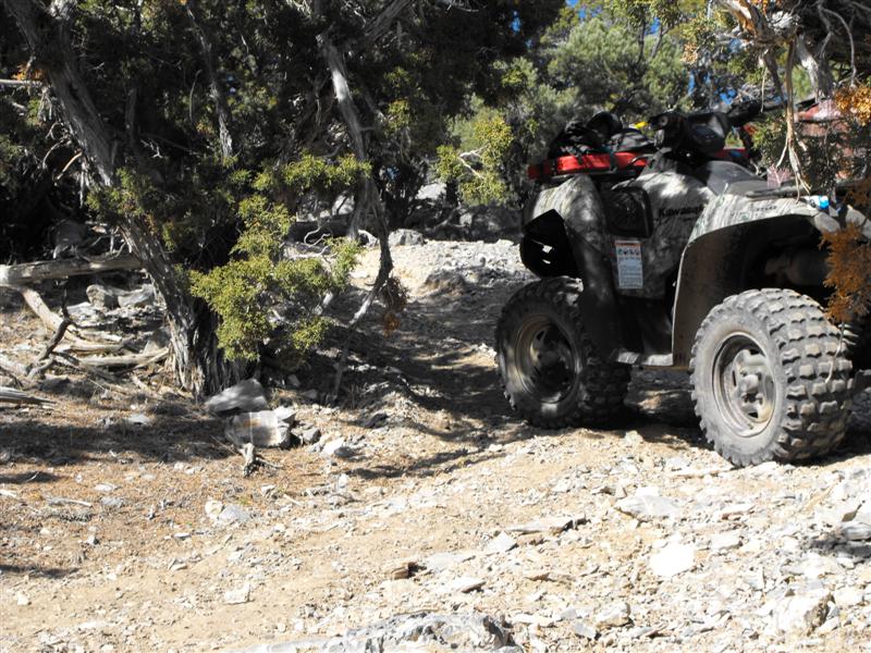
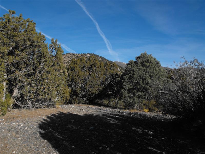
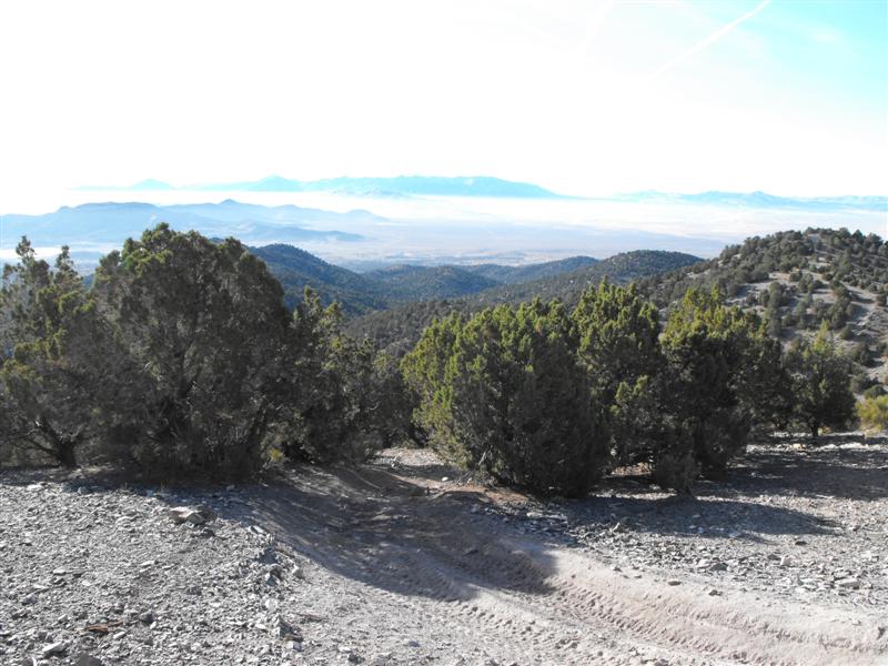
I took today off to do some further exploring as far North of 5Mile OHV (SR 73) as I could.
Even though I've ridden this area for years now, I was amazed at some of the new trails I discovered as far back as Mercur Canyon Road, Manning Canyon Road and other locations.
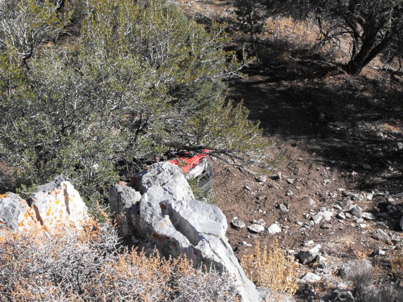
I stumbled on one trail that was clearly above my pay grade. After following this trail for about 30 minutes, it started going down hill at a rapid descent. I figure it was about a 4000 foot elevation drop. The boulders and obstacles mid-trail were getting very large. At about the mid point, I decided it was just too risky to continue down and got my machine to a point where I could winch up to a tree. To my dismay, the winch cable got wrapped around my front/left tire. Fortunately, I never ride without an extra 50' of nylon wrapped winch cable strapped to the rear of the ATV. After a grueling 20 minutes, I finally got turned around and made my way back up.
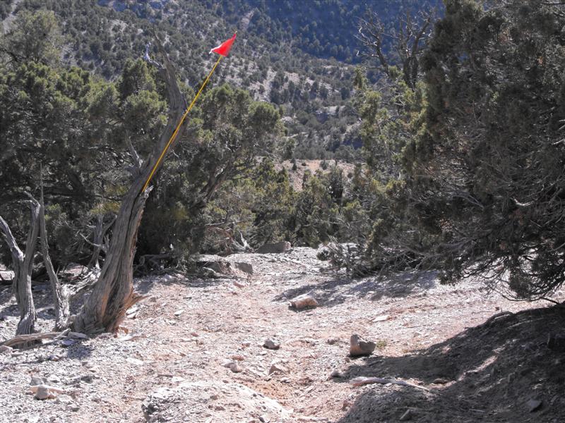
This trail is located at : N 40 17.106 W 112 12.178 . I highly recommend that if you take this trail, do not proceed further west unless you are a VERY EXPERIENCED RIDER. I placed a lost whip flag on the trail to mark the spot where I turned around and where it becomes far more treacherous.
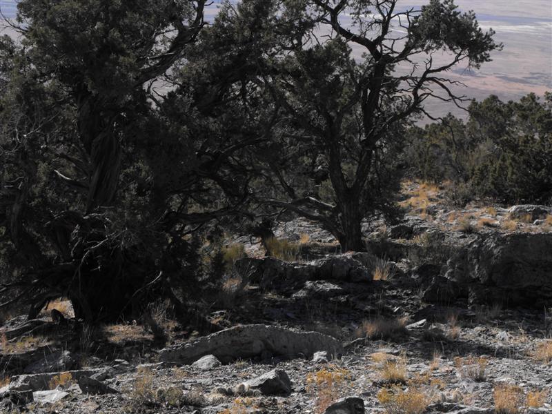
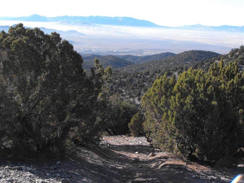
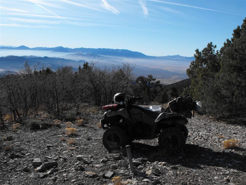
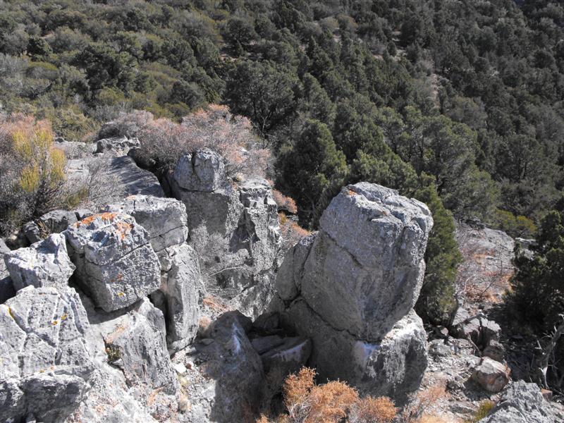
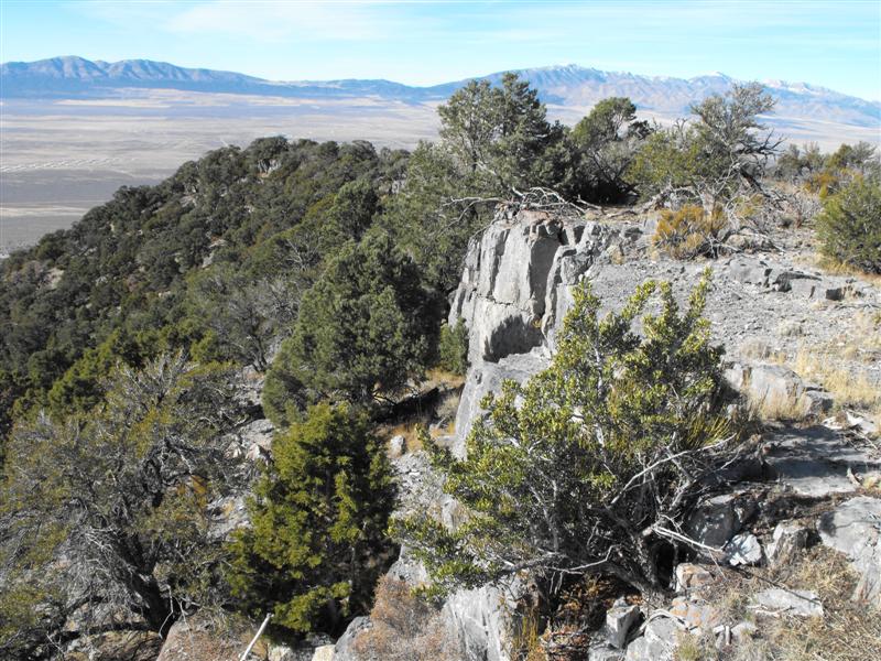
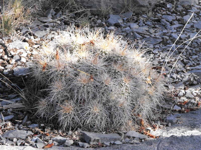
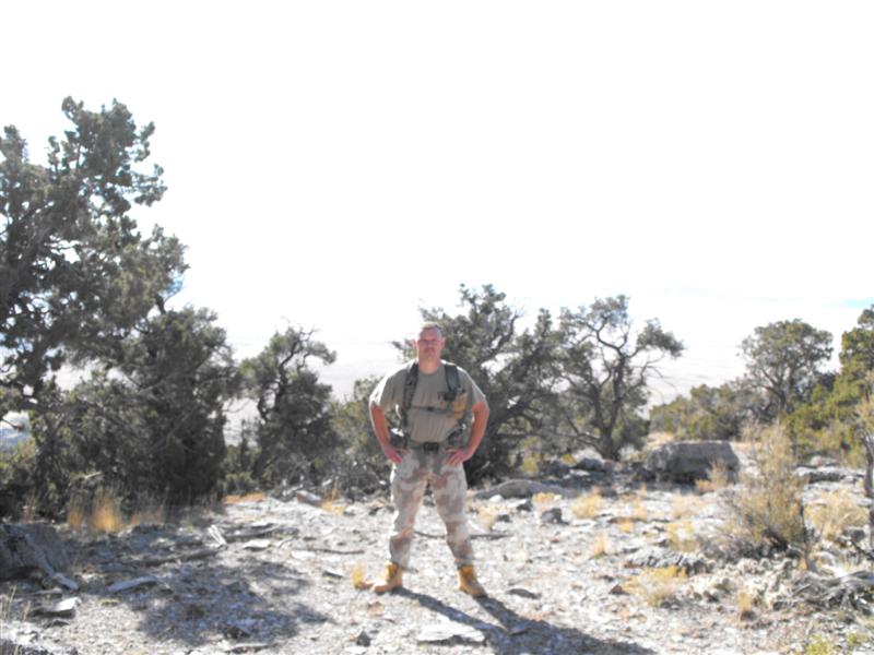
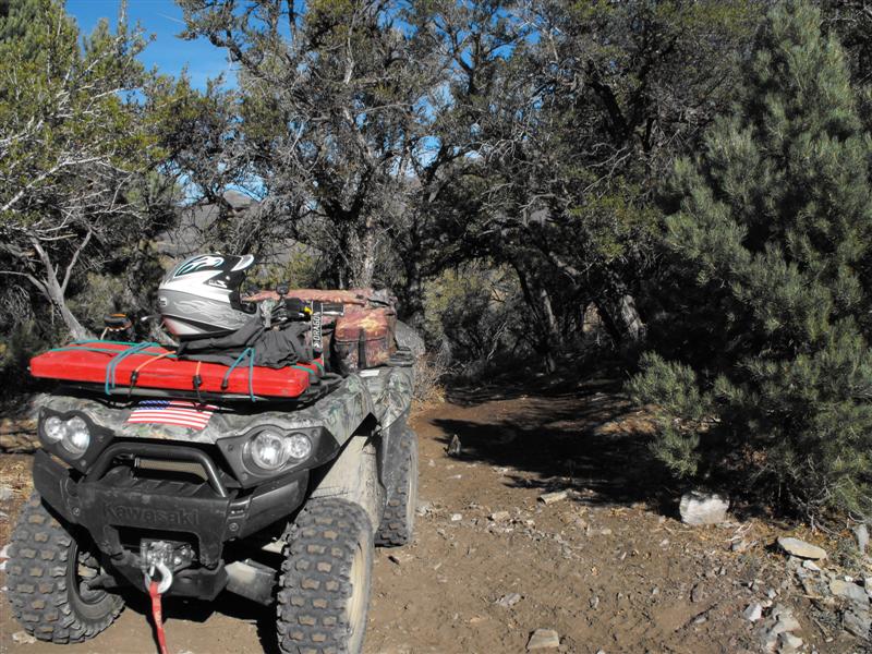
A few photos:
While East of Tooele Chemical Depot, the sirens started blaring. I managed to get some video from my new camera:
http://www.facebook.com/profile.php?...=1052875045785
-
11-17-2008 04:07 PM # ADS
-
11-17-2008, 05:52 PM #2Carbon Footprint Donor
- Join Date
- Jan 2007
- Location
- In Nothing But Sunshine
- Posts
- 8,849
I love rocks

-
11-17-2008, 06:45 PM #3
-
11-17-2008, 07:04 PM #4Adventurer at Large!
- Join Date
- Apr 2008
- Location
- locked, loaded and ready to rock!
- Posts
- 2,893
Let me know when and I'll take you for a "tour" ride through that area. Be prepared for ~90 miles of rocks and awesome trails! Originally Posted by Udink
-
11-18-2008, 06:46 AM #5TRUE THAT! Originally Posted by BruteForce
-
11-18-2008, 07:10 AM #6Adventurer at Large!
- Join Date
- Apr 2008
- Location
- locked, loaded and ready to rock!
- Posts
- 2,893
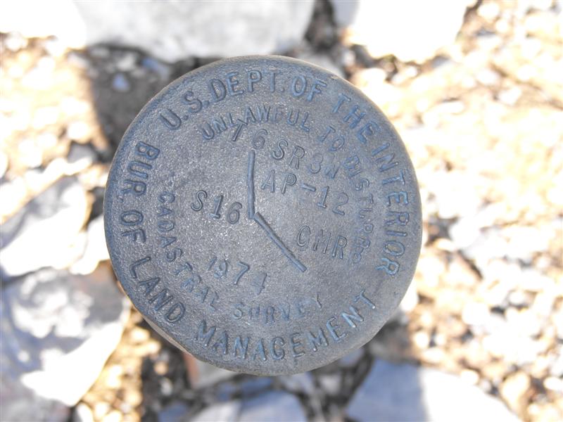
How do I go about looking up these BLM Survey markers? I'm curious to know what T6SR3W, AP-12 S16 CMR stands for.
Do these things indicate ownership, elevation, or what?
-
11-18-2008, 10:16 AM #7They're township and range sections, though I'm not sure what the "AP-12" and "CMR" stand for. The rest of it is: Township 6 South, Range 3 West, Section 16. The USGS 7.5' topo map of the area should display the township and range along the borders of the map, and the sections are marked off in red squares with the section number in red digits in the center of each square. Originally Posted by BruteForce
Geocaching.com has some benchmarks listed on their site, and you can find many others on the NGS website, but the majority of simple section markers like this one aren't listed in any database as far as I can tell.
-
11-18-2008, 12:11 PM #8Adventurer at Large!
- Join Date
- Apr 2008
- Location
- locked, loaded and ready to rock!
- Posts
- 2,893
I'm finding these things everywhere. In the most remote locations, I spot these survey markers. In places where I was positive no human foot had set, I'll find one. Originally Posted by Udink

-
11-18-2008, 04:21 PM #9
Nice pictures.
 In my youth I spent a lot of time in the canyons to the north of Ophir Canyon. I have hiked or 4X4
-
11-18-2008, 04:44 PM #10Adventurer at Large!
- Join Date
- Apr 2008
- Location
- locked, loaded and ready to rock!
- Posts
- 2,893
James, there are still plenty of mines that have yet to be grated up. Late last year (in Winter), while riding not 1 mile north of the staging area, I came across a massive hole with steam rising out of it.
The hole has to be 10' in diameter and probably 50+' deep. It's still not grated and is only about 15' off a commonly used trail.
I only found it due to the steam rising from it and the melted snow all around it.
I've also hiked and ridden the entire Jacob City and Ophir area. The top of Ophir Canyon is awesome. While its 100F below, its about 20F cooler up top overlooking Mercur and Ophir Canyon. I wish they'd finally open up the road/trail that connects Ophir, Mercur and SR 73 (Manning Canyon Road).
Oh, edited to add: When riding yesterday, I noticed there's new drilling taking place about 5 miles North of the staging area. Motorhome, drill rigs, 500 gallon water trailer, etc. I thought that area was closed off to new mining?
-
11-19-2008, 09:41 AM #11
Lots of mines worth exploring out that way if you have the right gear and know the right people. The Ophir Hill (connects with the Hidden Treasure for example) is an epic mine to tour, huge and full of relics. I've been in 4 or 5 with the MojaveUnderground group, all with permission (and keys) of the landowner)


 Reply With Quote


Similar Threads
-
ATV (or Jeep) geocaching route in the Five Mile Pass Area
By BruteForce in forum Offroad 4x4, Side by Side and ATVReplies: 0Last Post: 03-25-2009, 08:19 AM -
ATV from 5Mile OHV to Little Sahara?
By BruteForce in forum Offroad 4x4, Side by Side and ATVReplies: 8Last Post: 11-29-2008, 09:11 PM -
Riding in the 5-12Mile Pass or Ophir area on Saturday
By BruteForce in forum Offroad 4x4, Side by Side and ATVReplies: 2Last Post: 09-12-2008, 04:30 PM -
Riding in the 12Mile Pass / Little Moab / Eureka Area on Sat
By BruteForce in forum Offroad 4x4, Side by Side and ATVReplies: 8Last Post: 06-17-2008, 08:07 AM -
ATV'ing this weekend (5Mile OHV to Eureka)
By BruteForce in forum Offroad 4x4, Side by Side and ATVReplies: 5Last Post: 05-27-2008, 08:46 AM
